You want
Fast and secure access to your spatial data
from every workflow
Seamlessly manage, access and consume spatial files that
instantly render into your workflows, apps and tools of choice
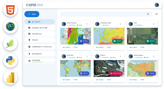
TRUSTED BY INDUSTRY LEADERS

The problem
Extracting value from spatial data is expensive and time-consuming
General purpose data lakehouses aren’t optimized for effective management of geospatial data and provide incomplete support for geospatial workloads.
Purpose-built legacy systems don’t perform at scale and aren’t fully interoperable. This makes ingesting, managing and integrating spatial data from multiple sources a major challenge.
Your solution
Turn your spatial files into a queryable catalog with interoperable web services
Ellipsis Drive is a central repository for discovering, managing and consuming spatial data assets across teams, workflows and storage buckets.
Specifically engineered for any raster, vector and 3D point cloud data files.
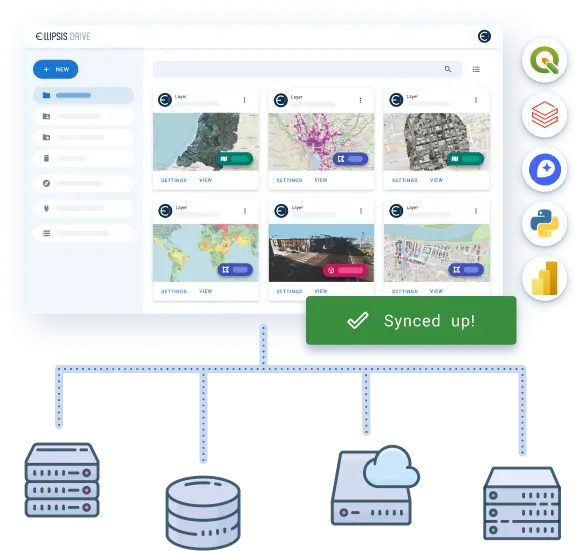
Enabling teams to search, access and update spatial datasets across storage repositories and automatically leverage them as high performance web services for interoperable use downstream.
Record-breaking time to value for your clients. Industry-leading data workflow efficiency.
Add next-generation flexibility, scalability and interoperability to your existing data infrastructure – without touching core processes and systems that have no need to change.
Ellipsis Drive makes your spatial intelligence fly through your organization straight into the hands of your end users. Powering all your products and ready to be consumed by your customers in every way they need to without a single intermediate step.
Faster than you
Connect spatial content to your workflow in seconds
Enjoy unmatched performance for raster and vector data visualization, querying and analytics regardless of data volumes.
Seamlessly collaborate with colleagues and share spatial intelligence with your customers – Ellipsis Drive integrates with the tools your team and customers already use.
THE RIGHT INTEGRATIONS FOR EVERY USER

Ellipsis Viewer
REST API
what our customers say
Solutions
Spin up your spatial data catalog
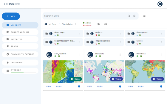
Seize back control of messy, unstructured data storage. Leverage Ellipsis Drive software to index your spatial data storage and make it easily searchable and usable.
Start hereThe right insights always at your fingertips
Sifting through messy data to uncover meaningful intelligence is a big time sink. Ellipsis Drive structures your spatial data for you, so you can find treasured insights faster and easier. Obtain relevant spatial insights in the blink of an eye by flexibly querying your data layers regardless of data sizes.
Start here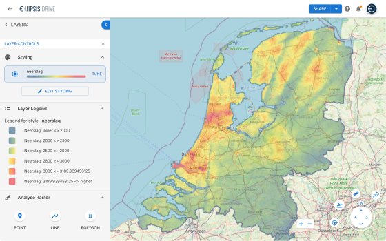
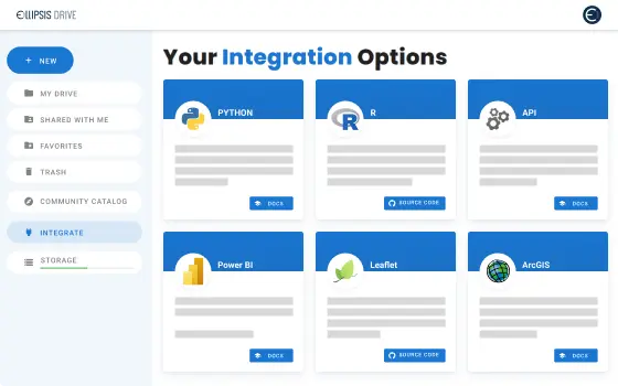
Frictionless integration and collaboration
Leverage Ellipsis Drive using your stack of choice. With our commitment to full interoperability, you will always stay in sync with colleagues who may approach your data via other tools and protocols. No more hassle around version control, release management and collaboration.
Start herePublish and scalably render your data with ease
Use Ellipsis Drive to publish your datasets as online maps and web services in just a few clicks. Deliver your beautifully visualized spatial analytics to your clients and feed them into their workflows seamlessly and in real-time.
Start here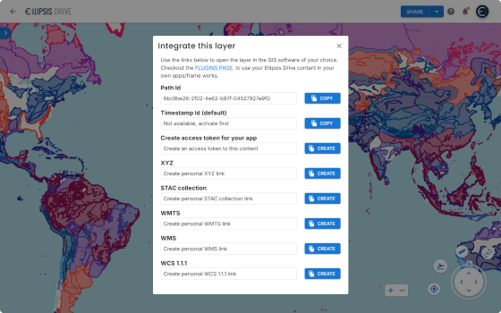
Stay up to date on developments and opportunities.
Our mission at Ellipsis Drive is to boost your business by removing spatial data silos. Stay in the loop on developments, news and opportunities by receiving our monthly updates in your mailbox.
