Solutions for
Developers
As a developer, you’re an applications mastermind. Ellipsis Drive helps you flexibly render vector and raster data in your own software with just a single line of code so you can keep being the un-frustrateable genius that you are.

Solutions for
Developers
As a developer, you’re an applications mastermind. Ellipsis Drive helps you flexibly render vector and raster data in your own software with just a single line of code so you can keep being the un-frustrateable genius that you are.

“Ellipsis Drive is our #1 choice of no-nonsense backend for easy integration of spatial data with our tailor-made front-ends.”

Thijs Perenboom
Data Consultant at 52IMPACT

“Ellipsis Drive supports our goals by bringing in off-the-shelf functionality when it comes to hosting, organizing and integrating geodata of any type that we would otherwise have to build ourselves.”

Reinder de Jong
Software Engineer at Geoserve

“Our EO-based information products place high demands on the flexibility and performance of the underlying data infrastructure. By using Ellipsis Drive as our data management system, we can focus our time on further improving the quality and user-friendliness of our products.”

Roland Hooghiemstra
CEO at Science [&] Technology Corporation
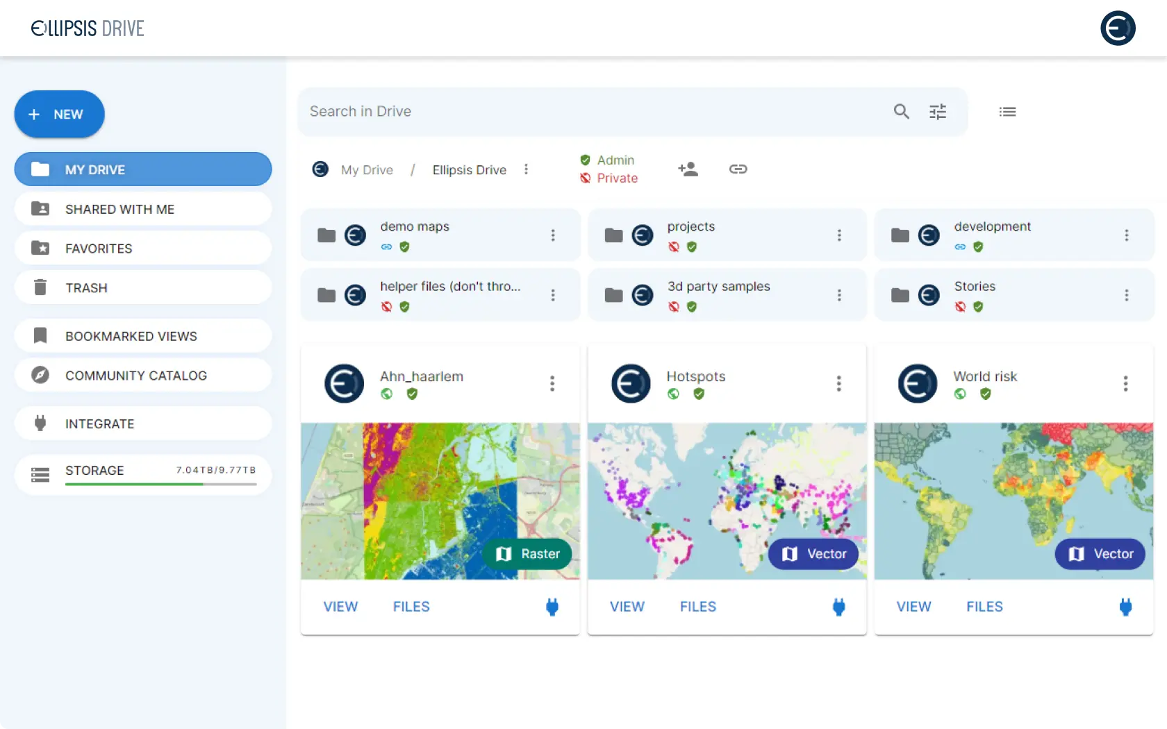
Create your spatial data catalog
Use Ellipsis Drive to create a fully scalable, interoperable and searchable spatial data catalog. Structure and index your data by connecting your storage to Ellipsis Drive and provide seamless and high-performance access to anyone who needs it from day one. No configuration needed.
Learn how here!Render your spatial data effectively
Use Ellipsis Drive to publish, visualize and integrate your geospatial data as online maps and web services. Write your files to Ellipsis Drive and have them rendered at high performance via any protocol or stack of choice - in both 2D and 3D - regardless of your data size.
Learn how here!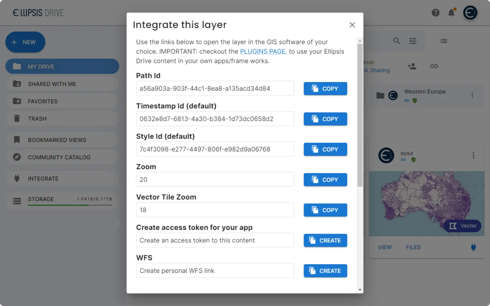
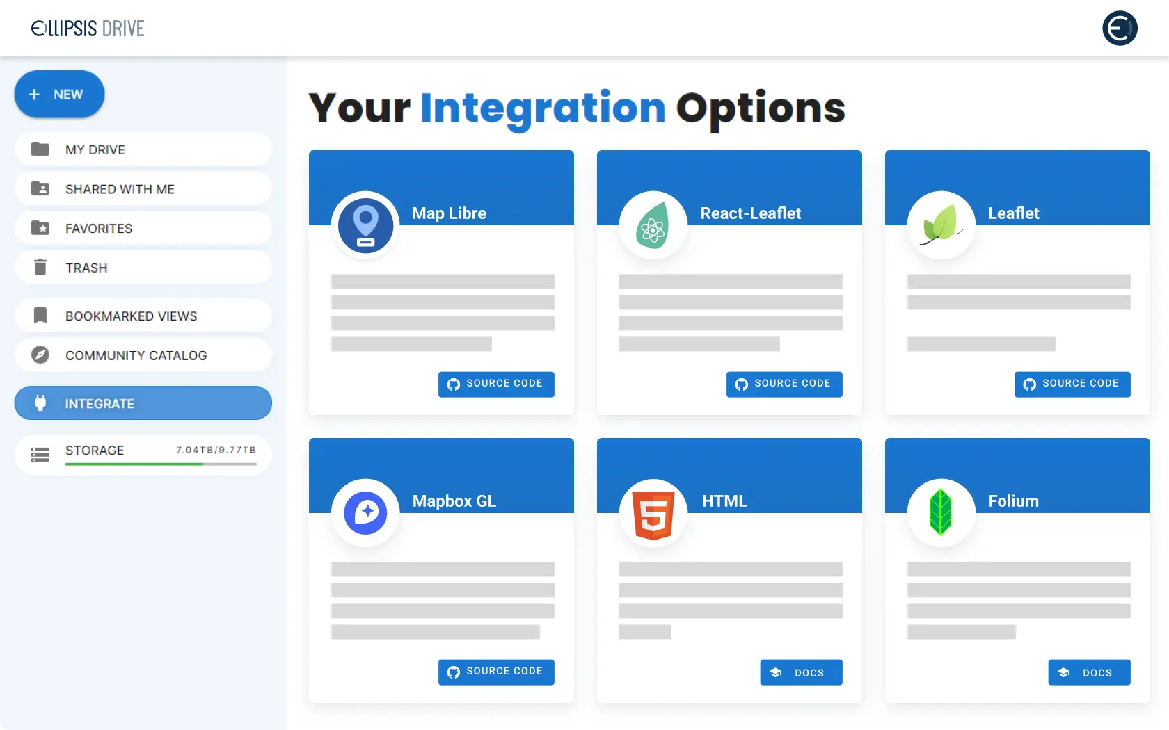
Seamless integration
Ellipsis Drive and the data it manages can be leveraged using your stack of choice. With our commitment to full interoperability, you will always stay in sync with colleagues who may approach your data via other tools or protocols. No more hassle around version control, release management and collaboration.
Learn how here!See Ellipsis Drive in Action!
Hear why Satellogic, Skywatch, and Spacety trust Ellipsis Drive to share data with their clients! See Ellipsis Drive in Action! Schedule a demo today.
Related Articles

From Maps to Outcomes: How Agentic AI Is Transforming Geospatial Workflows
For decades, geospatial professionals have worked with a series of tools, datasets, and workflows to answer increasingly complex questions. Whether a
5 min read
Importance of Kubernetes for Modern Geospatial Infrastructure
Whether it's processing satellite imagery, running AI models, or delivering real-time spatial analytics, today's geospatial platforms are expected to
6 min read
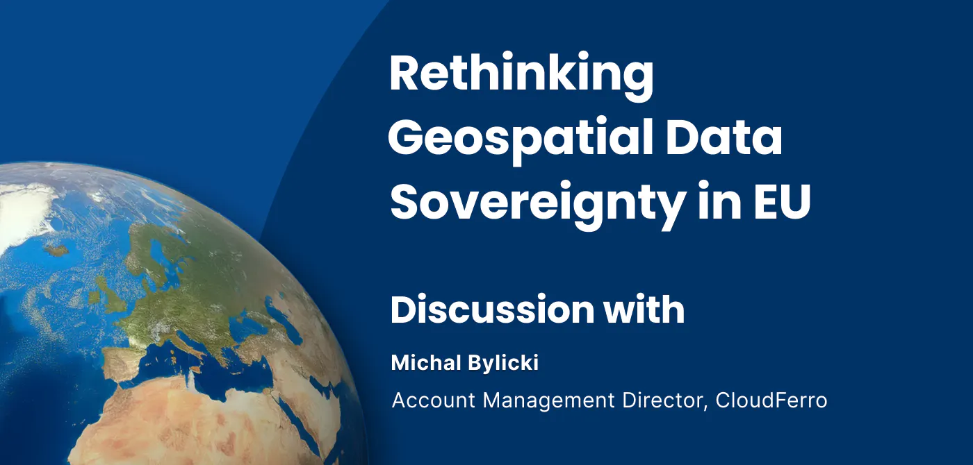
Rethinking Geospatial data Sovereignty in Europe Ft. CloudFerro
The topic of data sovereignty is often reduced to a question of where data is stored. But in practice, it is far broader than location. It is about h
6 min read
Stay up to date on developments and opportunities.
Our mission at Ellipsis Drive is to boost your business by removing spatial data silos. Stay in the loop on developments, news and opportunities by receiving our monthly updates in your mailbox.