From the blog
The world never stops spinning, and we never stop learning. Just like you! Check out the latest, from Ellipsis Drive.

LATEST POST
From Maps to Outcomes: How Agentic AI Is Transforming Geospatial Workflows

Importance of Kubernetes for Modern Geospatial Infrastructure
Whether it's processing satellite imagery, running AI models, or delivering real-time spatial analytics, today's geospatial platforms are expected to do m...
6 min read
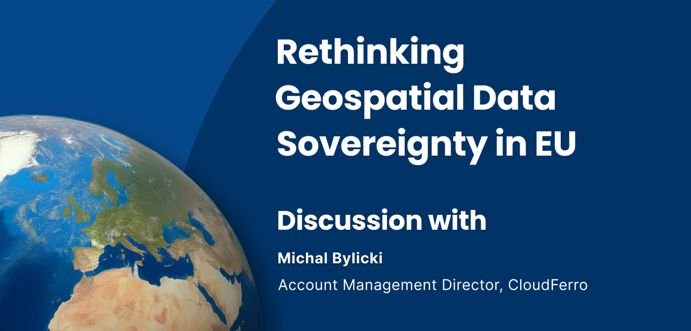
Rethinking Geospatial data Sovereignty in Europe Ft. CloudFerro
The topic of data sovereignty is often reduced to a question of where data is stored. But in practice, it is far broader than location. It is about having...
6 min read
Why AI is Reshaping Spatial Data Infrastructure
Artificial Intelligence is rapidly reshaping expectations around geospatial workflows. Organizations no longer want static outputs or slow analytics cycle...
5 min read

Rethinking Geospatial Democratization
What does it really mean to democratize geospatial data? Is it about making Earth Observation (EO) imagery easier to discover? Is it about lowering the ba...
5 min read
Data Discoverability: Turning Availability into Action
Consider this: A flood monitoring team is tasked with assessing rising water levels after heavy rainfall. They know relevant satellite imagery exists. The...
5 min read

Enhancing Purpose-Built Spatial Data Infrastructure for Today’s Scale and Complexity
Across the GEO-IT landscape, purpose-built spatial data infrastructures continue to power critical operations. They store, process, and serve data that en...
5 min read

Infrastructure for a Multi-Cloud Environment
In our previous pieces on data location and sovereignty in Earth Observation (EO) ecosystems, we explored a question that has always existed, but has grow...
5 min read
Building a Sovereign Earth Observation Infrastructure in Europe
In recent years, Europe’s conversation around data sovereignty has evolved. The point of discussion is not just about where information is hosted, but rat...
5 min read
Data Sovereignty in Earth Observation Ecosystems Ft. SkyWatch
The Earth Observation (EO) industry is expanding rapidly. With thousands of satellites in orbit and the market projected to grow into the tens of billions...
5 min read
