GIS
4 steps to share your spatial data with the world
Do you have spatial data worth sharing? And is data activation and collaboration turning out to be a much bigger challenge than you originally thought? Well, you have come to the right place.
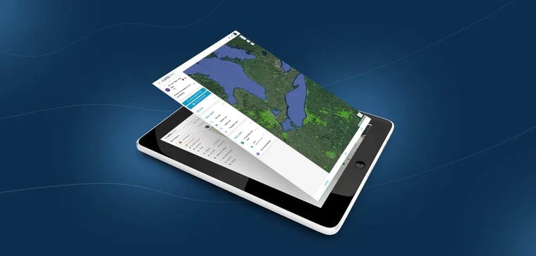
At Ellipsis Drive, we provide a plug and play solution that converts your geospatial data files into beautiful online maps and web services in under 10 minutes.
You can focus on producing great spatial data, while we ensure that it's connected to your audience!
Here are 4 simple steps on how to succeed -
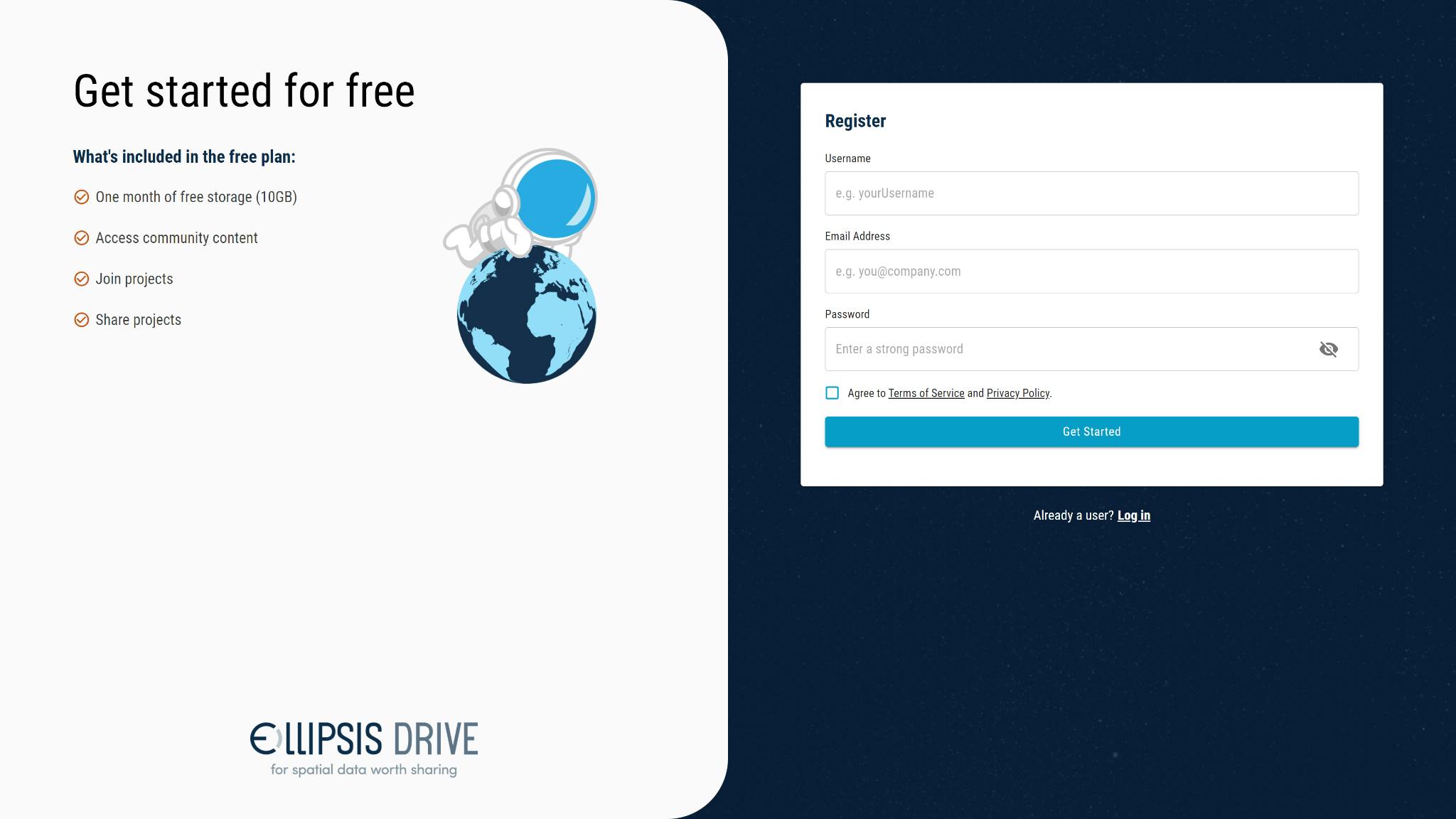
- Create an account
Register for an Ellipsis Drive account here. The account is free of charge and comes with 5 GB of free storage. You can use this space to get your first experiences with the drive and understand the value it brings to your organization.
We are confident that you, your colleagues and your customers will come back for more after getting a taste!
- Create a New Folder
Once registered, you can log in to your account and create a new folder (by clicking on the blue folder with a + sign on the right).
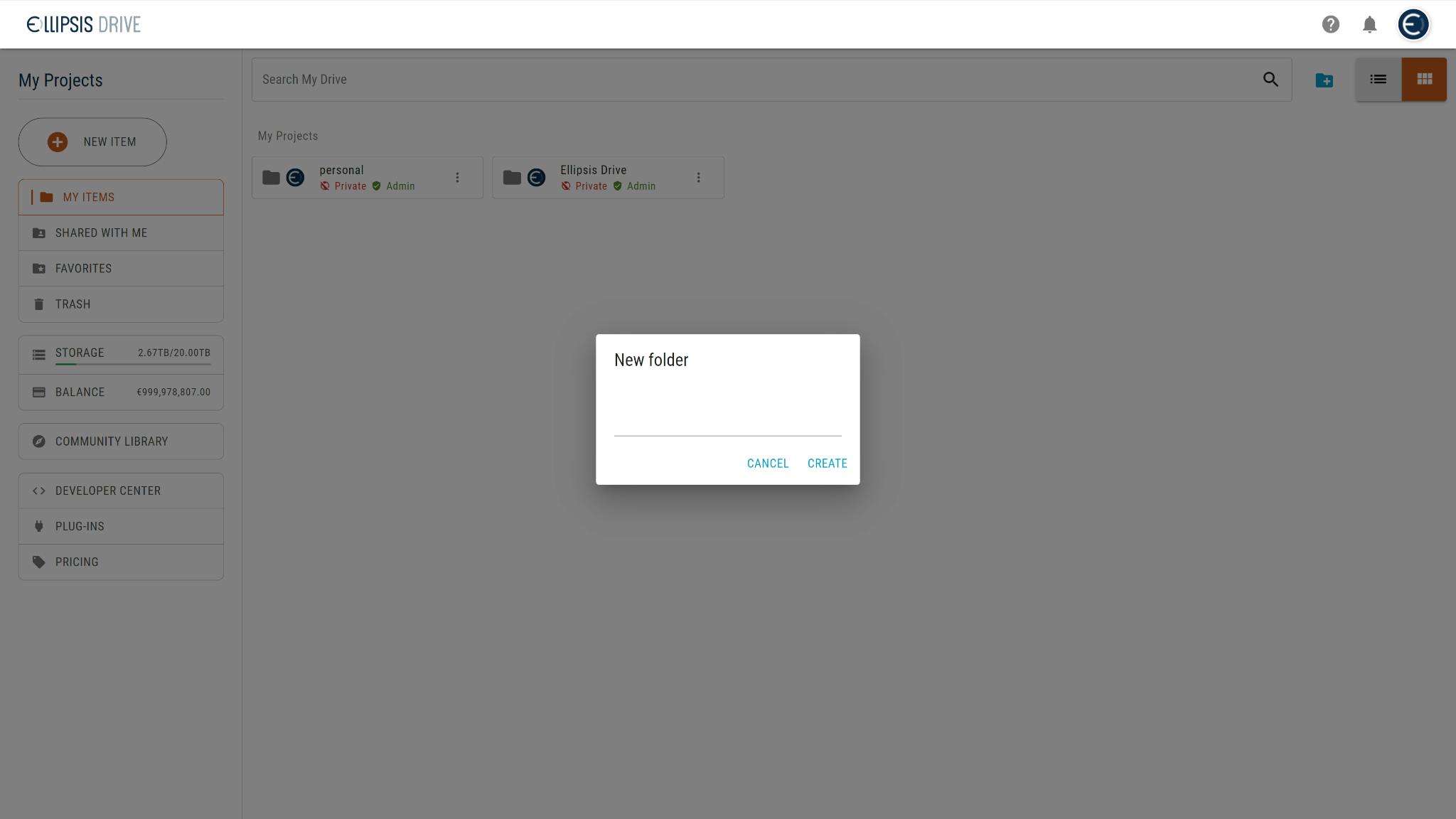
Folders are a great way to organize the data in your drive and to share it with clients or collaborators on a folder or subfolder level (see step 3).
- Manage Access
Next you can go into ‘manage sharing’ to control who has access to the data in your folders. You can add team members and clients alike and assign their permissions with the dropdown (admin, viewing, editing etc.)
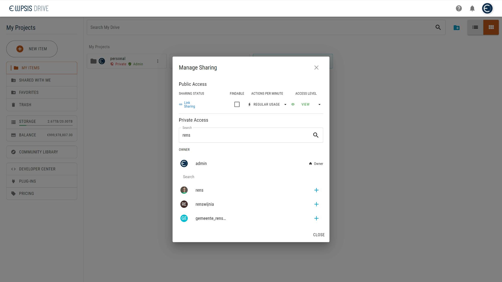
Once added, your stakeholders will be notified and able to see the shared folder in ‘Shared With Me’.
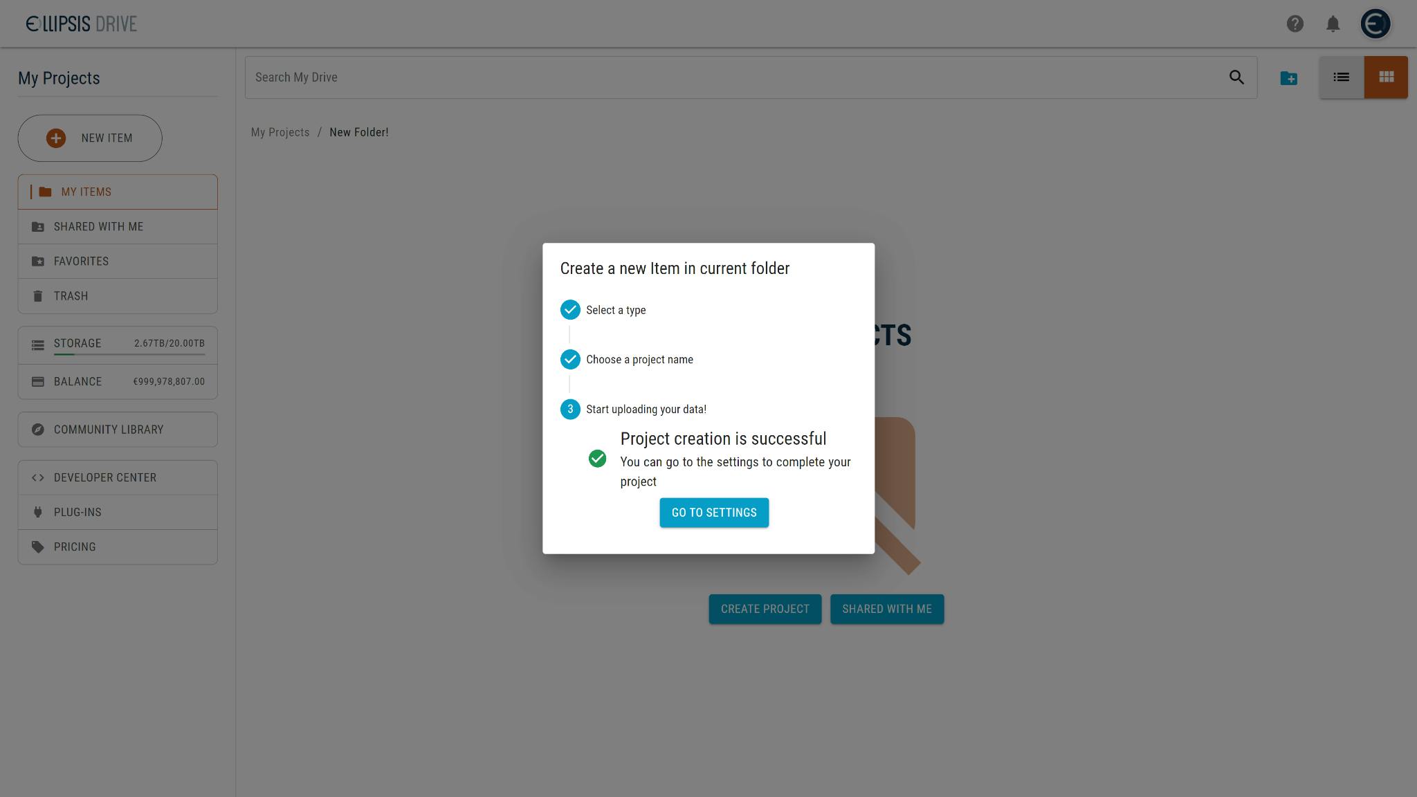
- Start Uploading
Finally the last and the most important step of all. Start uploading the geospatial data you want to share and get cracking! Just hit the big plus button to add a project and follow the steps!
That’s it! In 4 simple steps you have managed to start your geospatial journey with us. Easier than you thought right?
Do you still need some help? Why not request a live demo with our expert and get to know more about our solution.
Liked what you read?

Subscribe to our monthly newsletter to receive the latest blogs, news and updates.
Take the Ellipsis Drive tour
in less than 2 minutes'
- A step-by-step guide on how to activate your geospatial data
- Become familiar with our user-friendly interface & design
- View your data integration options

Related Articles

Why AI is Reshaping Spatial Data Infrastructure
Artificial Intelligence is rapidly reshaping expectations around geospatial workflows. Organizations no longer want static outputs or slow analytics cycles. They want near real-time insights, scalabl
5 min read

Navigating the Cloud Spectrum: From Generalist to Specialized, and the Perfect Middle Ground
The modern cloud ecosystem spans a wide spectrum of offerings, from general-purpose infrastructure to highly specialized platforms built for domain-specific tasks. At one end, generalist clouds provi
5 min read

Unlocking the Potential of Data: Comparing Tabular and Non-Tabular Protocols
The world of data is a complex landscape and each year, the complexity of that landscape grows exponentially. A combination of new data capturing technology, data processing technology and demands fo
6 min read