Data Location: The Geospatial Blindspot
Contents
Introduction: The Questions We Rarely Ask
Modern geospatial teams spend a lot of time making deliberate decisions. We evaluate tools, compare cloud providers, optimize performance, and debate build-versus-buy strategies. We care deeply about how our spatial data is stored, processed, and delivered. At least on the surface.
However, as software has become more abstract and cloud-native, the physical realities of data i.e where it lives, how it moves, and which laws apply to it, have quietly faded into the background. For many organisations, spatial data simply “exists in the cloud,” assumed to be handled somewhere, by someone, in a compliant and satisfactory way.
“Where is our spatial data actually hosted?” has traditionally been a peripheral thought. A byproduct of convenience, abstraction, and years of tooling that prioritised usability over visibility.
But with the changing geopolitical climate, this question has taken centre stage. In this blog, we’d like to give it the limelight that it demands.
A Shift in Awareness
A few years ago, most data owners gave little thought to where their data was hosted or processed. That has begun to change. As private individuals, we’ve grown more aware that our personal data is valuable, and vulnerable. Questions of privacy, misuse, and control are no longer abstract concerns, but everyday realities.
The same shift is happening professionally. Data managers are becoming more conscious of where data lives, who can access it, and which jurisdictions govern it. As our CEO, Rosalie observes, “The world is changing around us, and none of us can pretend any longer that these things don’t matter.”
This growing awareness reflects a broader reality: data no longer lives in neutral infrastructure. Data infrastructure is shaped by laws, and trust. Yet while sovereignty awareness is rising across the tech ecosystem, spatial data often remains an exception, still treated as technical output rather than governed information.
And that gap is where problems begin.
Why Data Location Was Easy to Ignore
The geospatial industry didn’t ignore data location by accident. For a long time, systems were designed to abstract it away. Cloud platforms promised simplicity, scalability, and reliability. But not transparency. Spatial tools focused on enabling visualisation and analysis, not on making infrastructure choices visible to users.
As a result, data movement became implicit. For most teams, this worked. There were few regulatory pressures and cross-border constraints leaving limited reasons to question where processing actually occurred.
In that context, not knowing where data lived wasn’t a failure. It was the norm.
But abstraction has a cost. As data ecosystems grow more complex and expectations around governance increase, the very systems that made working with spatial data easier, now make critical details harder to see.
And once regulatory accountability enters the picture, invisibility becomes a liability.
When Data Location Matters, And What Sovereignty Really Means
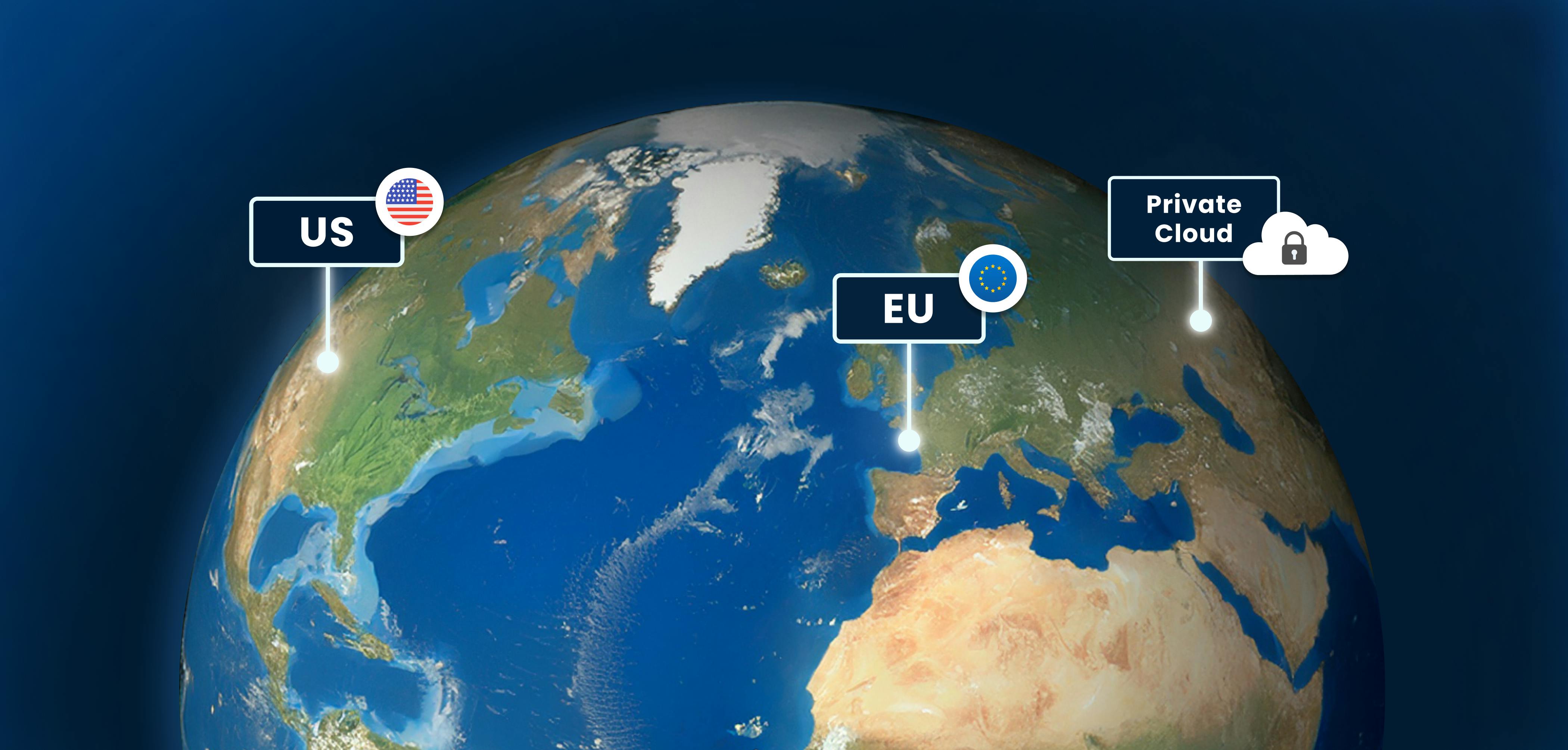
Data location becomes critical the moment accountability, trust, or regulation enters the picture. For example, if your organization must manage data in a GDPR-compliant way, hosting it outside the EU could create legal risk. Similarly, sensitive spatial datasets, whether high-resolution satellite imagery, infrastructure plans, or mobility data, require careful consideration of where they are stored, processed, and accessed.
This is where the concept of data sovereignty comes in. In plain terms, it’s about ensuring local control over data, including privacy, security, and compliance. To truly achieve sovereignty, data must be collected, processed, and stored within the same region, so that it is subject to the relevant laws and governance principles. As Rosalie notes, “Establishing data sovereignty is an infrastructural and supply chain exercise, even if it’s often driven by macro-political factors.”
For geospatial teams, this isn’t just a policy concern, it’s an operational challenge. The location of data, the tools that process it, and the people who interact with it all define whether sovereignty is real or just theoretical. More on this in the next blog.
Closing Thoughts: Asking the Questions That Matter
Spatial data magnifies the stakes of your data sovereignty blind spot. Yet many teams still operate on the assumption that “the cloud handles it” without truly knowing where their data lives, who can access it, or which rules apply.
This invisibility isn’t negligence; it’s the result of decades of tools designed for convenience over visibility. But as awareness grows and regulations tighten, that assumption is increasingly risky.
So as a closing thought, we invite you to ponder over this question once again: Where is your spatial data actually hosted, and which rules are applied to it?
Starting with this question creates visibility, establishes control, and lays the foundation for true data sovereignty.
Liked what you read?

Subscribe to our monthly newsletter to receive the latest blogs, news and updates.
Take the Ellipsis Drive tour
in less than 2 minutes'
- A step-by-step guide on how to activate your geospatial data
- Become familiar with our user-friendly interface & design
- View your data integration options
