GIS
Ellipsis Map Engine: Fast and Easy Spatial Data Science at Scale

Contents
The Gap in Data Architectures
In previous articles, we’ve established that raster data is unique compared to other data types which explains why there is a major lack of infrastructure for raster data processing. Raster data is array-like and can’t be managed in a table without severe tradeoffs. Managing raster data in a table engine is like forcing a square peg into a round hole, it simply doesn’t fit. For those who missed the previous article, let’s summarize the tradeoffs and challenges of managing raster data in a table engine.
- Table engines aren’t built for array-like raster data. So weeks are wasted on building inefficient workarounds, just to get data analysis-ready.
- Trying to manage raster data in a table means summarizing context rich data, sacrificing spatial integrity and losing key spatial relationships.
- Post-analysis results can’t be automatically visualized or seamlessly rendered into GIS-powered systems, slowing down decision-making and delivery.
What spatial data-dependent industries truly need is an engine that is specifically designed to manage non-table datasets—the missing jigsaw piece in the status quo.
The Missing Piece - Ellipsis Map Engine
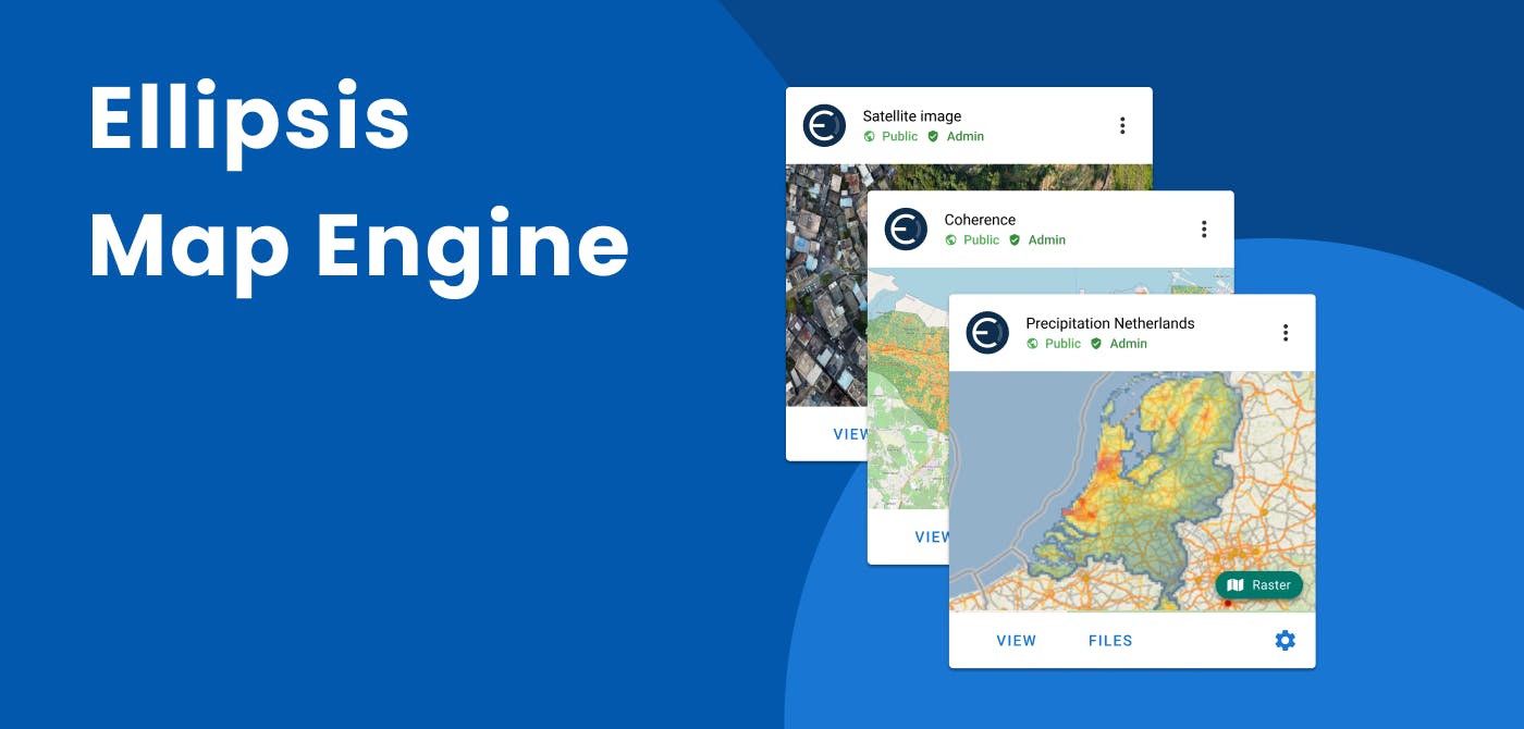
We built Ellipsis Map Engine to be this missing piece. It's a data lakehouse and distributed compute engine that is natively compatible with any type of geographic data including raster data, so that spatial data workflows can be run instantly, without any manual work.
Existing table engines (like Databricks, Snowflake, Redshift, or BigQuery) can be complimented with Ellipsis Map Engine to unlock the power of automated, high-performance, distributed analytics for raster data.
Benefits of Ellipsis Map Engine –
- Automate raster data ingestion, management and distribution
- Run scalable, flexible and interactive spatial analytics effortlessly
- Get insights across to GIS & non-GIS systems instantly
Spatial Map Reduce
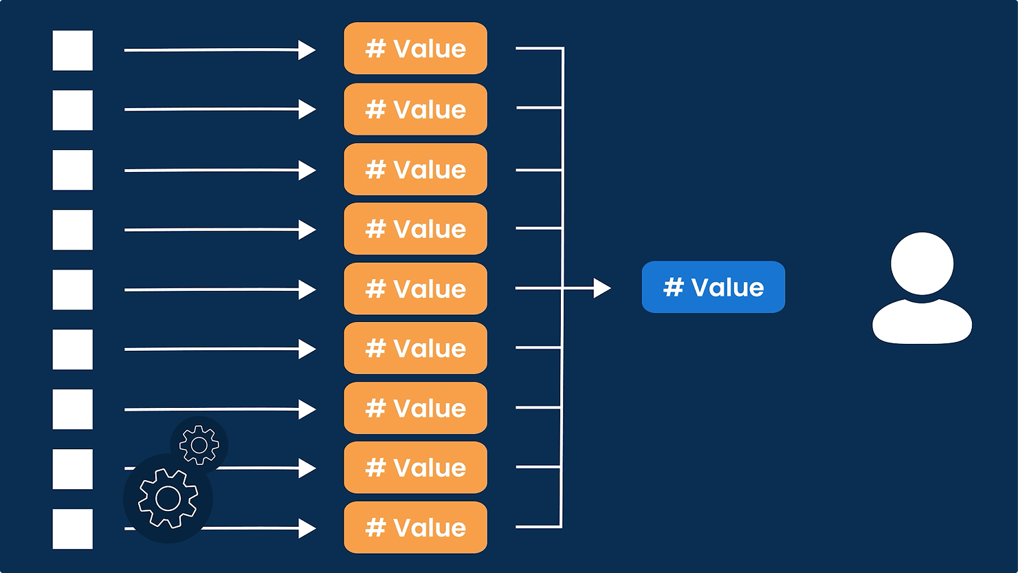
Another key application of Ellipsis Map Engine is that it can be used to run any map reduce and perform full input-layer-to-output-layer compute processes. In a map reduce, you start by performing a mapping step on your spatial layer(s), before carrying out a reduction step. An example of this would be conducting a calculation on each spatial shard of the layer first, and then summing the outcomes to a single value or finding the maximum value.

For professionals, this has many applications. Such a mapping process can be used for creating AI-based classification layers out of input layers or to fuse multiple input layers into a new layer with combined insights. It can be used to find the top risk locations in large areas, or the sum of purchasing power in specific zip codes.
Conclusion
In conclusion, Ellipsis Map Engine is a game-changer for industries dependent on spatial data, filling the critical gap left by traditional table engines. By providing a specialized, high-performance platform for managing and analyzing raster data, it eliminates inefficiencies, preserves spatial integrity, and accelerates decision-making. With its seamless integration with existing data architectures and its powerful map reduce capabilities, Ellipsis Map Engine empowers organizations to derive real-time, actionable insights from complex spatial datasets. For anyone looking to unlock the full potential of their geographic data, Ellipsis Map Engine is not just a tool—it’s the future of spatial intelligence.
Liked what you read?

Subscribe to our monthly newsletter to receive the latest blogs, news and updates.
Take the Ellipsis Drive tour
in less than 2 minutes'
- A step-by-step guide on how to activate your geospatial data
- Become familiar with our user-friendly interface & design
- View your data integration options

Related Articles

Navigating the Cloud Spectrum: From Generalist to Specialized, and the Perfect Middle Ground
The modern cloud ecosystem spans a wide spectrum of offerings, from general-purpose infrastructure to highly specialized platforms built for domain-specific tasks. At one end, generalist clouds provi
5 min read

Unlocking the Potential of Data: Comparing Tabular and Non-Tabular Protocols
The world of data is a complex landscape and each year, the complexity of that landscape grows exponentially. A combination of new data capturing technology, data processing technology and demands fo
6 min read

Understanding the importance of GIS in Urban Planning
Cities are robust places filled with life, but before it becomes a cosmopolitan paradise, plenty of ever-evolving complexities are happening behind the scenes to bridge the gaps and create an area spa
3 min read