Expert's Opinion
Episode 3: Vikalpa Jetly, CEO & Co-Founder @EarthDefine

Welcome back to the 3rd episode of our talk show ‘What’s New in New Space?’. We have with us Vikalpa Jetly, Founder & CEO of EarthDefine. EarthDefine is a US company that uses satellite data to create high resolution maps of Earth’s green cover.
Using EarthDefine’s solutions, countless use cases have emerged from this that have benefited companies all over the world. But more importantly, it has helped conserve nature. Isn’t that the thing that matters the most?
Let’s have a look at what Vikalpa had to say about the New Space industry and EarthDefine’s role in it.
What are the implications of the evolving NewSpace industry on environment monitoring?
I foresee a prominent improvement in data quality and data availability as the geospatial industry moves away from legacy workflows to AI-driven classification approaches. What this means for data consumers is lower costs, faster updates, and newer data as the definition of what was 'mappable' expands to include new data categories.
The increase in the frequency of extreme weather events like the recent heat waves in Europe and the US is highlighting the urgent need to address climate change.
The NewSpace industry can play a critical role in this by providing accurate baseline data on land cover. The industry would also play a pivotal role in measuring the impacts of reforestation drives, wetland restoration and urban heat island mitigation efforts etc.
What is your organization’s role in this?
EarthDefine is effectively leveraging the innovations in the computer vision and machine learning space to build and update continental-scale maps of ground cover categories like tree cover, building footprints, parking lots, etc.
These products are helping small and large organizations address their data challenges by providing cost-effective long-term data solutions as opposed to expensive one-time acquisitions which have been the norm in the industry.
We are listening to domain experts in different fields to further identify addressable data gaps and build workflows to fill these. For example, we are looking forward to releasing a US-wide multi-class 60cm land cover dataset that will be the most accurate repeatable data source for ground cover information for the country.
This data will be a unique data solution for formulating effective strategies to deal with local to national scale environmental challenges.
What’s your take on data integration and delivery?
The value of data increases exponentially as its ease of integration with the company’s internal data as well as other data sources increases.
However, herein lies the challenge for clients.
There are countless accounts of data purchases that sit for years without any actual use. Primarily because the data ingestion was not well understood during acquisition.
This can be more common when there are knowledge gaps between the folks doing the purchasing and the geospatial end users within the organization.
Our Final Thoughts
Do any of Vikalpa’s thoughts resonate with you and your company? Our talk show is hosted with the purpose of sharing new perspectives, exploring innovative ideas and to make our readers think.
We’re of the firm belief that providing a forum for such conversations is in the best interest of the NewSpace industry and the players that are a part of it.
Do you have valuable insights to share with the NewSpace community? Get in touch with our editor to get featured - akshay@ellipsis-drive.com
Be sure to subscribe to our newsletter and follow us on social media to not miss out on a new episode. Until next time!
Stay up to date on developments and opportunities.
Our mission at Ellipsis Drive is to boost your business by removing spatial data silos. Stay in the loop on developments, news and opportunities by receiving our monthly updates in your mailbox.
Related Articles

From Maps to Outcomes: How Agentic AI Is Transforming Geospatial Workflows
For decades, geospatial professionals have worked with a series of tools, datasets, and workflows to answer increasingly complex questions. Whether a
5 min read
Importance of Kubernetes for Modern Geospatial Infrastructure
Whether it's processing satellite imagery, running AI models, or delivering real-time spatial analytics, today's geospatial platforms are expected to
6 min read
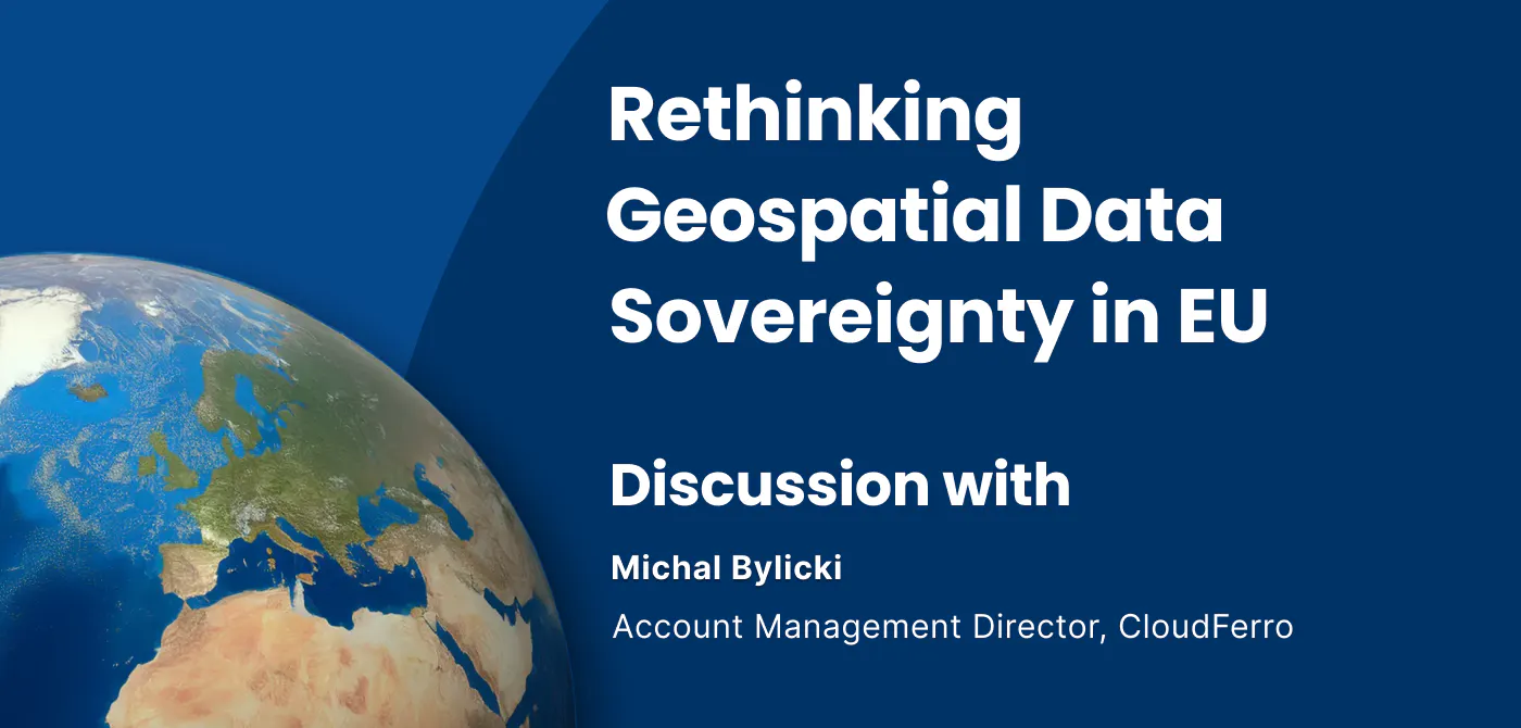
Rethinking Geospatial data Sovereignty in Europe Ft. CloudFerro
The topic of data sovereignty is often reduced to a question of where data is stored. But in practice, it is far broader than location. It is about h
6 min read