How is GIS used to make smarter financial decisions?

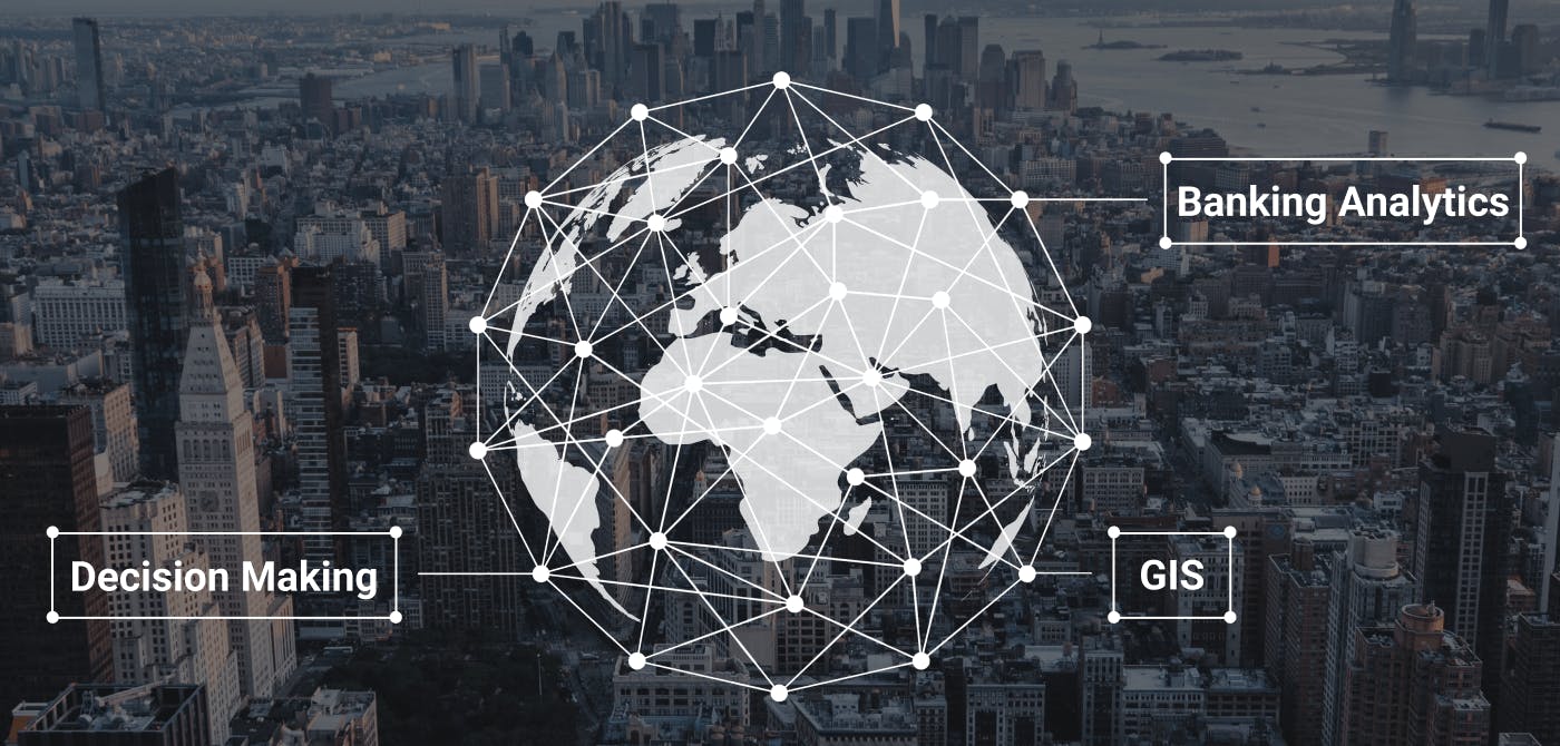
The banking and financing sector has been undergoing an evolution in recent years. Data has become much more important than ever that even banking institutions use geospatial data to their advantage. In this guide, we focus on how a geographic information system (GIS) can be instrumental in making the real estate banking industry run like clockwork.
Contents
GIS in Real Estate Banking

Real estate banking is vitally important in the industry. It is the main form of raising funds for purposes of constructing, developing, and buying real estate. In order to raise funds, a bank needs to be able to understand the properties, individuals, and businesses they are lending to. This is where geospatial data comes in.
A GIS is a great tool to assist real estate banks in taking on new projects, loans, and investments. It can be used for assessing land for development, analysing risk, appraising a property, and understanding the impact of changes to land use.
GIS can also provide an excellent vehicle for analysing data points. Banks can use this tool to create algorithms to assess risks and make decisions on loans. It can also be used to assess loans and make it easier for banks to identify where their assets are.
GIS for Credit Risk Assessment
Financial institutions use real estate as collateral for loans. For a loan to be approved, the financial institution needs to be confident that the individual or business will be able to pay back the loan. The more assets the individual or business has, the more likely they will be able to pay back the loan.
One of the primary assets that financial institutions look at when determining creditworthiness is real estate. This is where GIS comes in.
GIS software can be used to track and assess the performance of a property over time. With GIS, financial institutions can evaluate a borrower's assets, their local markets and assets, and the performance of the entire portfolio. GIS then allows financial institutions to make better decisions when it comes to credit risk analysis.
GIS for Land Use Analysis
Land use analysis is also an essential part of real estate banking. GIS can aid in the analysis of land use, zoning, and other land-use regulations.
GIS is often used to identify areas of opportunity. It can be used to identify areas that have the potential for growth and assess a real estate project based on risk and potential. Zoning information and other zoning regulations are also recorded in a GIS. This may include such things as the height of structures, the use of the land, and other building regulations.
GIS for Property Acquisition
When it comes to property valuations, GIS can also be an instrumental tool. You can also use it to analyse land use or other factors important to the acquisition of a property. For example, a real estate banker can monitor the value of a property as it changes over time.
GIS can also be used to identify the best properties to acquire. Real estate banks can track and monitor the demographics, land use, and other factors that are important to the borrowers in an area.
The Future of GIS and Banking

The use of GIS and the concept of location intelligence for real estate banking is only going to become more critical as banking evolves. As banks face a more proactive regulatory environment, the need for efficient data collection and analysis is paramount. GIS is one of the few tools that can help financial institutions meet the demands of their clients as well as a changing regulatory environment.
In a world where data is at the centre of everything, having a tool that’s optimized for sharing, collaborating on, and selling geospatial content is essential. Ellipsis Drive offers a solution to make sharing and integrating geospatial data easy and almost effortless. Sign up today and experience the world's first Drive for spatial data!
Liked what you read?

Subscribe to our monthly newsletter to receive the latest blogs, news and updates.
Take the Ellipsis Drive tour
in less than 2 minutes'
- A step-by-step guide on how to activate your geospatial data
- Become familiar with our user-friendly interface & design
- View your data integration options
