Improving Spatial Analytics Workflows Ft. Ellipsis Map Engine
Contents
Introduction
Spatial data has become a critical ingredient in modern analytics. Whether organizations are monitoring assets, assessing climate-related risks, or optimizing operations across large geographies, spatial insights increasingly shape strategic decisions. Yet despite its rising importance, spatial analytics workflows often lag behind the pace and standards of the broader data ecosystem.
Most teams still rely on fragmented processes stitched together across GIS tools, cloud storage, and tabular compute engines. While these systems work well for conventional data, they fall short when confronted with the scale and complexity of modern raster datasets. As Rosalie, CEO of Ellipsis Drive, explains: “Existing table-based compute engines are forcing you to manually catalog, shard, and mosaic your raster data for distributed compute and integration, making you lose weeks to manual data preparation.”
This tension between the value of spatial insight and the inefficiency of current workflows is increasingly becoming a bottleneck. New data sources are emerging rapidly, analytics expectations are rising, and organizations need tools that can keep up.
In this blog, we explore what’s holding spatial analytics back today, the trends that will define the next generation of geospatial workflows, and how Ellipsis Map Engine helps bridge the gap.
Let’s go!
The Status Quo of Spatial Analytics Workflows
Despite major advances in cloud infrastructure and data engineering, spatial analytics workflows remain surprisingly manual. Much of this stems from the fact that most organizations still depend on engines designed for tabular data, not spatial data. These tools excel at SQL-like operations but struggle when asked to handle large raster datasets which is the core input for earth observation, environmental monitoring, and asset intelligence.
As a result, analysts and data engineers are forced to fill the gaps themselves. They must catalog files, shard large imagery into tiles, build mosaics, and create custom logic to distribute workloads across a cluster. These steps are not only time-consuming, they introduce operational overhead that grows with every new dataset. As Rosalie puts it: “You lose weeks to manual data preparation, workarounds and transformation work.”
The fragmentation doesn’t stop there. Vector, raster, and tabular data often live in separate systems, making it harder to derive combined insights. This slows down analytics pipelines, delays collaboration between GIS and data teams, and limits how quickly insights can reach business users.
Future Trends: More Data, More Integration, and the Acceleration of AI
Spatial analytics is entering a period of rapid transformation. Data volumes continue to surge as satellites, sensors, and IoT devices deliver higher-resolution imagery and data at increasing frequency. This growth makes it essential for organizations to combine raster, vector, and tabular datasets seamlessly (something traditional table-native analytics engines were never designed to support). To stay competitive, teams need workflows that can scale with this expanding data landscape.
At the same time, AI is reshaping expectations for what spatial analytics can deliver. As highlighted in our recent Ellipsis Drive podcast episode with Dan Pilone, CEO of Element84, AI is becoming a foundational layer in modern geospatial stacks.
Instead of focusing solely on building pipelines and services, organizations are increasingly grappling with how to orchestrate models, integrate APIs, and prepare infrastructure that can evolve as foundation models improve.
AI also unlocks new interaction patterns. Dan points to natural-language geocoding as one early indicator: “Being able to say ‘the suburbs of Boston except the airport’ and have that translate … is huge.”
As these capabilities mature, they will drive demand for spatial infrastructures that are flexible, performant, and capable of supporting model-driven workflows.
These trends point to a clear direction: the future belongs to systems that can handle diverse geospatial data types, support distributed analysis, and integrate seamlessly with AI-powered tools.
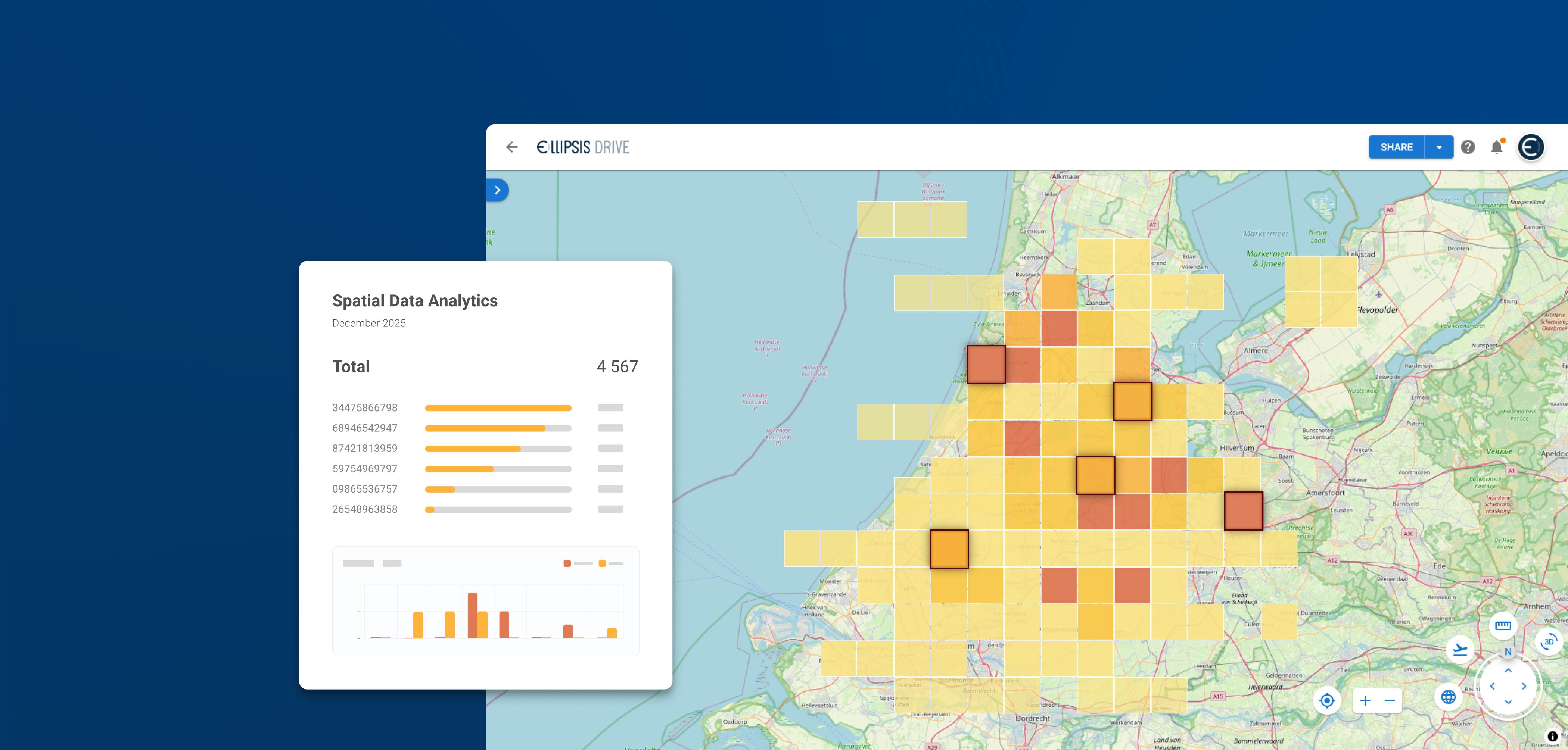
Ellipsis Map Engine
As spatial data volumes grow and AI-driven analytics become more common, organizations need infrastructure that can keep up. This is exactly where Ellipsis Map Engine comes in. Designed as a map-native, distributed data lakehouse, Map Engine supports raster, vector, and tabular fusion in a single environment.
This means users no longer have to manually shard, mosaic, or reformat raster data just to run scalable analysis. Instead, Map Engine automates raster ingestion, management, and distribution from the moment data lands in the system.
The result is a workflow designed for modern expectations. Analysts can run flexible, scalable, and interactive spatial analytics directly on cloud-native data. And because Map Engine plays well with existing table-based engines, teams can extend their current data stack rather than replace it.
As Rosalie puts it: “It brings map-native, distributed analysis to all your geospatial data types.”
Map Engine is built to eliminate the geospatial infrastructure gap and enable the next generation of spatial insights.
Conclusion
Spatial data is growing fast, and so are the expectations around how organizations use it. But legacy workflows can’t keep pace with rising data volumes, AI-driven analytics, or the need to combine raster, vector, and tabular insights seamlessly. Ellipsis Map Engine closes this infrastructure gap with a map-native, distributed environment built for modern spatial computing. It removes friction, accelerates insight, and equips teams for the future of geospatial analytics. If you’re ready to modernize your spatial stack, Map Engine is an essential foundation within your data infrastructure.
Liked what you read?

Subscribe to our monthly newsletter to receive the latest blogs, news and updates.
Take the Ellipsis Drive tour
in less than 2 minutes'
- A step-by-step guide on how to activate your geospatial data
- Become familiar with our user-friendly interface & design
- View your data integration options
