GIS
Navigating the Cloud Spectrum: From Generalist to Specialized, and the Perfect Middle Ground

Contents
The Cloud Spectrum
The modern cloud ecosystem spans a wide spectrum of offerings, from general-purpose infrastructure to highly specialized platforms built for domain-specific tasks. At one end, generalist clouds provide limitless flexibility. They’re designed to be infrastructure primitives i.e. blank canvases on which any digital service can be built. This is where you find compute, storage, networking, and orchestration tools that are powerful, but largely indifferent to your specific use case.
On the other end of the spectrum are clouds built with a focused mission. These platforms prioritize ease of use, performance, and efficiency within a narrow context. They make strong assumptions about your data, your workflows, and your tools. And in doing so, they can offer a streamlined and often delightful user experience. But that efficiency comes at a cost: rigidity. Once you move beyond the intended use case, the guardrails that once helped can quickly become constraints.
This blog explores what it means to operate in the middle space: not just building clouds that are flexible or optimized, but ones that are purpose-built for a domain, yet broadly usable across many roles and workflows. And as we’ll see, finding that balance is far easier said than done.
The Flexibility-Usability Trade Off
In any digital platform, especially those dealing with data infrastructure, there’s an inherent trade-off between flexibility and ease of use.
If a cloud system offers full flexibility, it gives users maximum control. They can build exactly what they need, tailored to their use case. But with that power comes complexity: steep learning curves, and custom integration work. This depth can become a barrier to entry, especially for users who just want to “get the job done”.
On the flip side, a highly optimized platform minimizes friction. It abstracts away complexity and guides users through streamlined workflows. But that simplicity often comes at the expense of adaptability. If your needs fall outside the intended use case, you’re left bending your workflow, or abandoning the tool.
For geospatial data platforms, this trade-off is particularly challenging. EO value adders need the freedom to create novel analytics and pipelines. But if that freedom demands deep technical expertise, adoption stalls. At the same time, a system that’s too rigid turns into a delivery pipeline for just one type of product. Useful, but narrow.
Striking the right balance is difficult, but essential. And it's the key to building infrastructure that scales across diverse users and use cases.
Why the Middle Ground Is So Hard to Find
In theory, the “middle ground” between flexibility and usability sounds ideal. In practice, it’s incredibly hard to build, and even harder to maintain.
Many platforms start with good intentions: to be both powerful and accessible. But as they evolve, trade-offs emerge. Add too much customization, and the system becomes complex, leaning toward a general-purpose cloud. Focus too much on ease of use, and it gets locked into a narrow set of workflows, becoming a single-use solution.
This tension is especially visible in Earth Observation and geospatial data platforms. Projects often veer toward one extreme: either a highly technical tool only a few experts can navigate, or a polished front end that can’t stretch beyond its original purpose.
What’s missing is a shared foundation. A design that allows users to plug in at different levels of technical depth, without being boxed in or overwhelmed.
The goal isn’t compromise; it’s composability. Building a system that can serve both builders and analysts, engineers and domain experts. That’s the challenge (and the opportunity) in this space.
A Platform that Threads the Needle
To truly bridge the gap between infrastructure and usability, a platform must do more than sit halfway between general and specialized. It needs to connect both ends meaningfully.
That means pairing robust, domain-aware infrastructure with low-barrier entry points: graphical UIs, standard protocols, and plug-ins compatible with common GIS and data tools. These aren’t extras. They’re the layer that translates raw capability into accessible workflows.
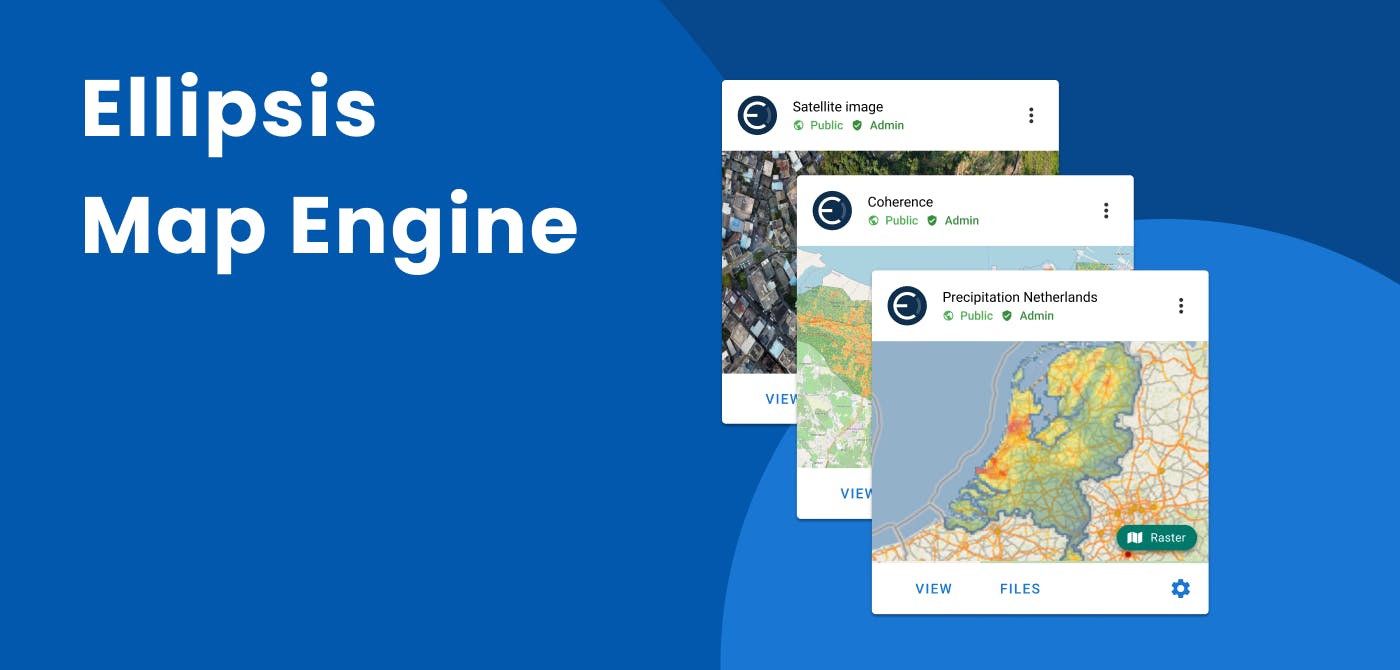
This is precisely where Ellipsis Drive excels. At the core is the Ellipsis Map Engine, a map-native, distributed compute layer built to handle raster and vector data at scale. It automates ingestion, spatially sharded compute, and integration into GIS systems without weeks of manual prep or complex pipelines. And because it wraps cleanly around existing table-based backends (like Databricks or BigQuery), it doesn’t disrupt infrastructure. It enhances it.
By embedding Map Engine into Ellipsis Drive’s interface layer, the platform lets EO value-adders and data scientists run complex spatial analytics flexibly, while analysts, engineers, and decision-makers access results through intuitive endpoints (whether that’s a QGIS plugin, Jupyter notebook, or interactive map).
In short, Ellipsis Drive threads the needle: you get powerful, scalable spatial analytics under the hood, and low‑threshold interfaces on top. And that’s across use cases, user roles, and technical capabilities.
Closing Thoughts
The future of data infrastructure (especially in domains like Earth Observation) depends on platforms that don’t choose between power and simplicity, but instead build a bridge between the two.
We’ve seen that the extremes of cloud infrastructure often leave users behind: too flexible, and only experts can engage; too narrow, and innovation gets stifled. The real value lies in systems that offer robust capabilities while remaining intuitive and approachable.
By embracing composability, user-oriented interfaces, and domain-aware design, it's possible to serve both engineers building pipelines and analysts delivering insights.
The middle ground may be hard to find, but it's exactly where the most impactful solutions are born.
Liked what you read?

Subscribe to our monthly newsletter to receive the latest blogs, news and updates.
Take the Ellipsis Drive tour
in less than 2 minutes'
- A step-by-step guide on how to activate your geospatial data
- Become familiar with our user-friendly interface & design
- View your data integration options

Related Articles

Unlocking the Potential of Data: Comparing Tabular and Non-Tabular Protocols
The world of data is a complex landscape and each year, the complexity of that landscape grows exponentially. A combination of new data capturing technology, data processing technology and demands fo
6 min read

Understanding the importance of GIS in Urban Planning
Cities are robust places filled with life, but before it becomes a cosmopolitan paradise, plenty of ever-evolving complexities are happening behind the scenes to bridge the gaps and create an area spa
3 min read
Ellipsis Map Engine: Fast and Easy Spatial Data Science at Scale
In previous articles, we’ve established that raster data is unique compared to other data types which explains why there is a major lack of infrastructure for raster data processing. Raster data is
4 min read