From the blog
The world never stops spinning, and we never stop learning. Just like you! Check out the latest, from Ellipsis Drive.

LATEST POST
Enhancing Purpose-Built Spatial Data Infrastructure for Today’s Scale and Complexity


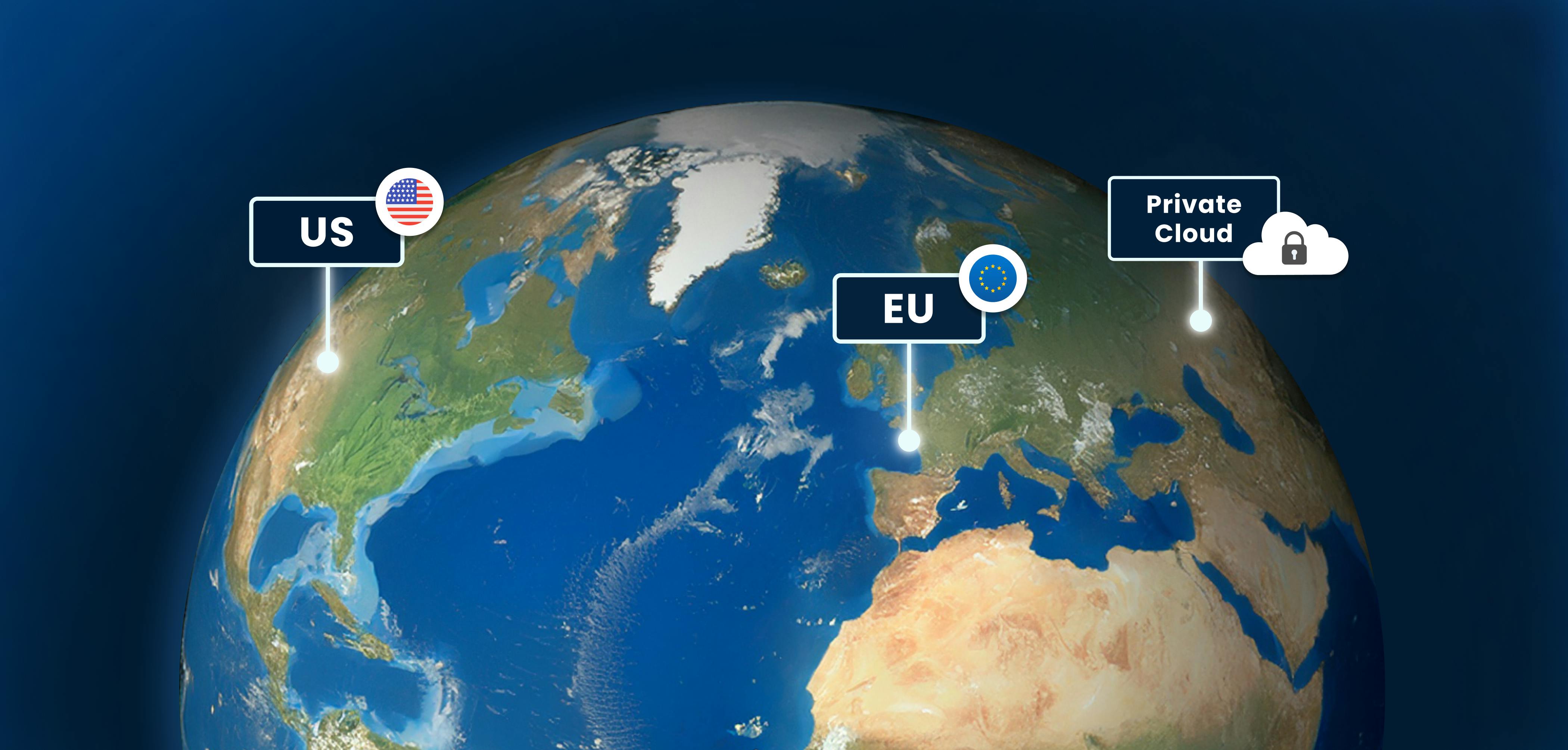
Infrastructure for a Multi-Cloud Environment
In our previous pieces on data location and sovereignty in Earth Observation (EO) ecosystems, we explored a question that has always existed, but has grow...
5 min read

Building a Sovereign Earth Observation Infrastructure in Europe
In recent years, Europe’s conversation around data sovereignty has evolved. The point of discussion is not just about where information is hosted, but rat...
5 min read
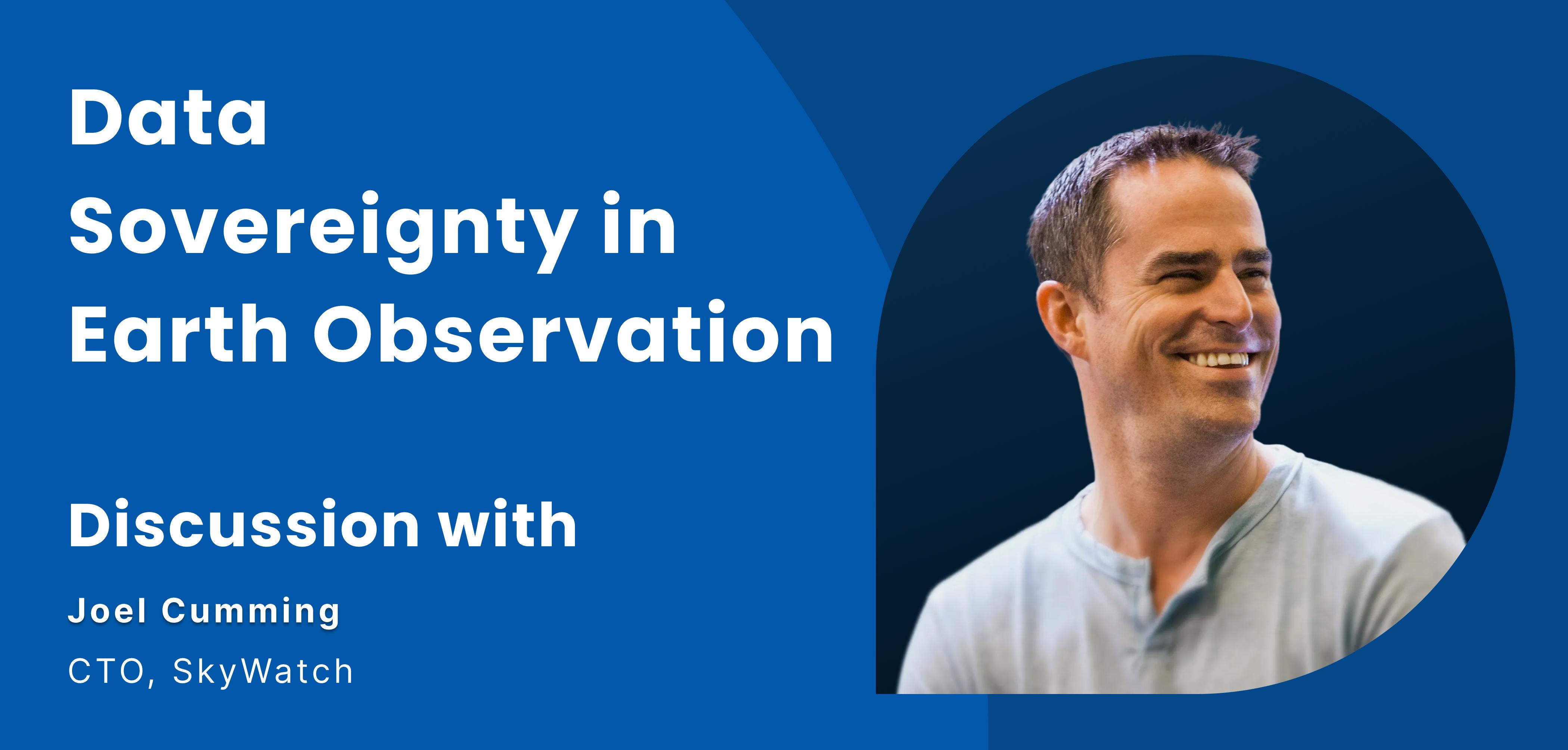
Data Sovereignty in Earth Observation Ecosystems Ft. SkyWatch
The Earth Observation (EO) industry is expanding rapidly. With thousands of satellites in orbit and the market projected to grow into the tens of billions...
5 min read
Data Location: The Geospatial Blindspot
Modern geospatial teams spend a lot of time making deliberate decisions. We evaluate tools, compare cloud providers, optimize performance, and debate buil...
5 min read

From 2025 to 2026: Preparing Spatial Data Infrastructure for What’s Next
As 2025 draws to a close, it’s clear that the geospatial industry is transitioning to a new era. The volume, variety, and expectations around spatial data...
4 min read
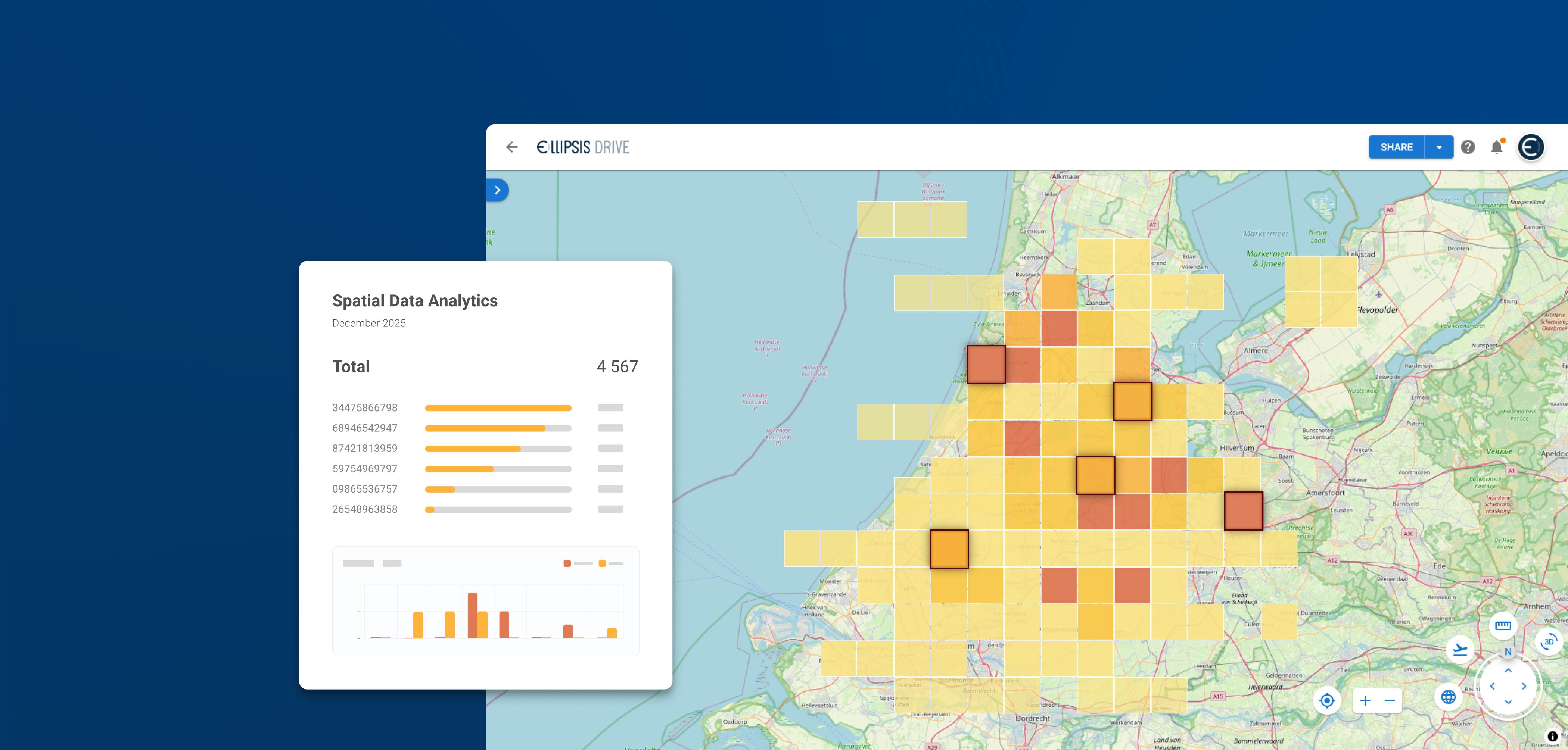
Improving Spatial Analytics Workflows Ft. Ellipsis Map Engine
Spatial data has become a critical ingredient in modern analytics. Whether organizations are monitoring assets, assessing climate-related risks, or optimi...
5 min read

Build Smart, Not Hard: How Element 84 Guides Clients with Spatial Data Infrastructure
For this episode of the Ellipsis Drive podcast, we sat down with Dan Pilone, CEO of Element 84, a geospatial engineering firm known for guiding organizati...
5 min read
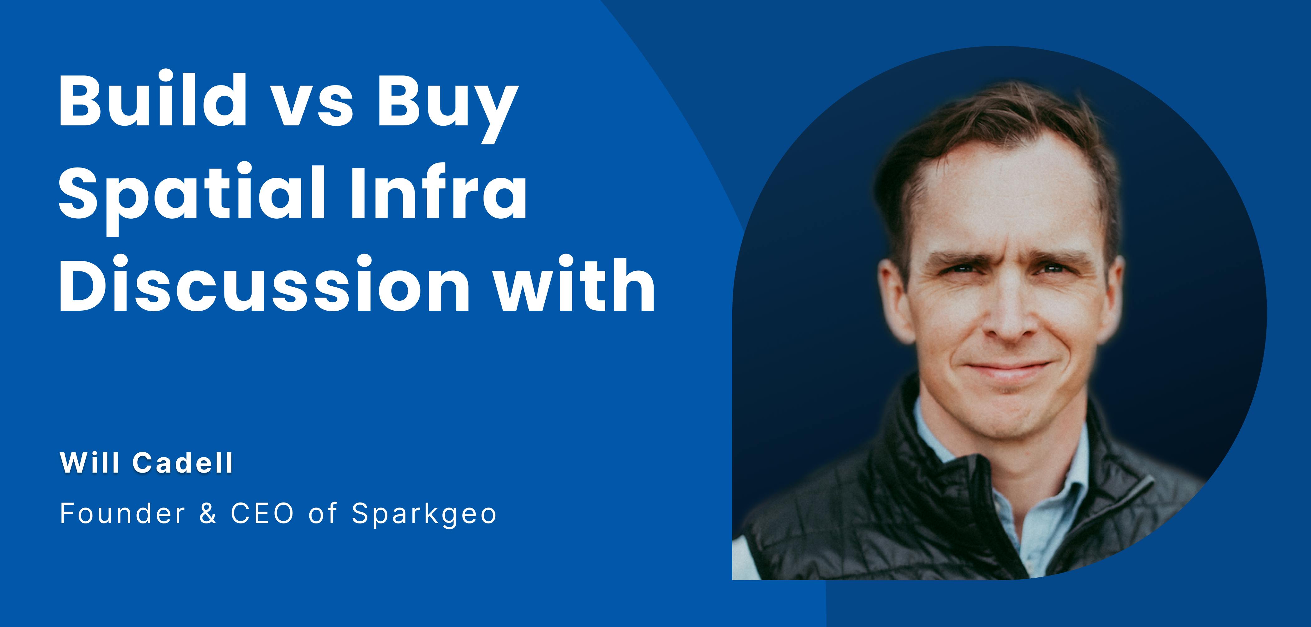
The Real Cost of Building Geospatial Infrastructure Ft. Will Cadell, CEO Sparkgeo
In a recent episode of the Ellipsis Drive podcast, we had the privilege of speaking with Will Cadell, CEO of Sparkgeo, a seasoned geospatial expert who ha...
6 min read

Should You Buy or Build Your Spatial Data Infrastructure? (Part 2)
In the first part of this blog series, we laid the foundation for the buy vs build decision. We explored the various options available for creating a basel...
5 min read
