
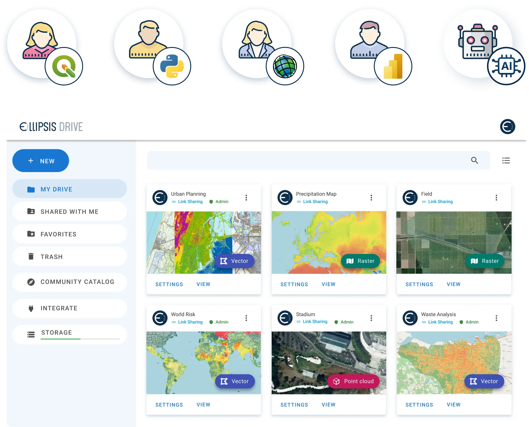
Unify geospatial data across your organization
Ellipsis Drive catalogs and unifies spatial data from your existing storage systems, making it easy to manage, connect, and serve geospatial data across teams and applications.
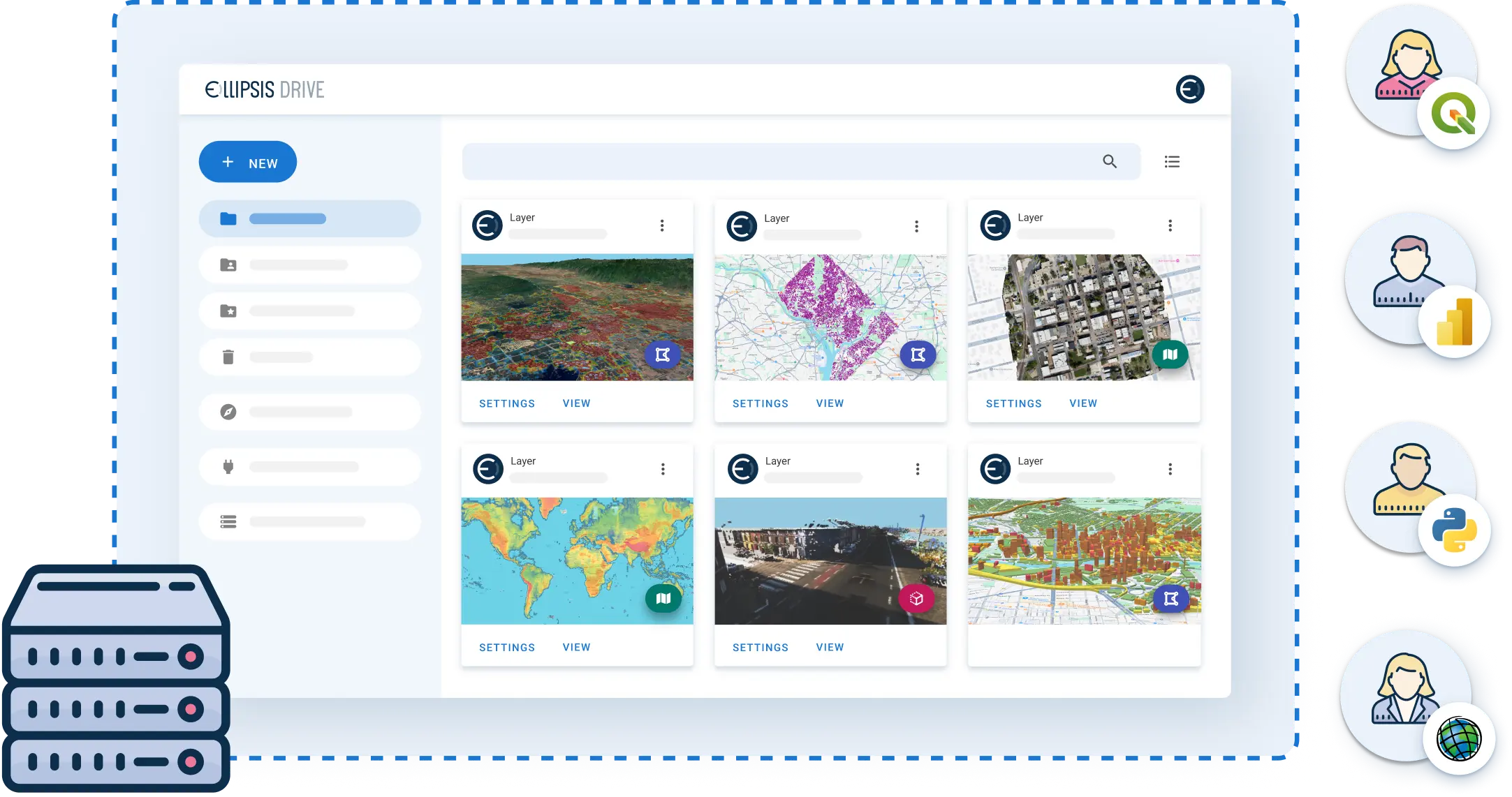

Ellipsis Drive helps your teams with:
Data cataloging
Obtain unified access to your spatial data across your organization
Data access
Access, query and update datasets instantly
Data usage
Use datasets as high-performance, interoperable web services
Data integration
Render outputs directly within existing GIS platforms and systems
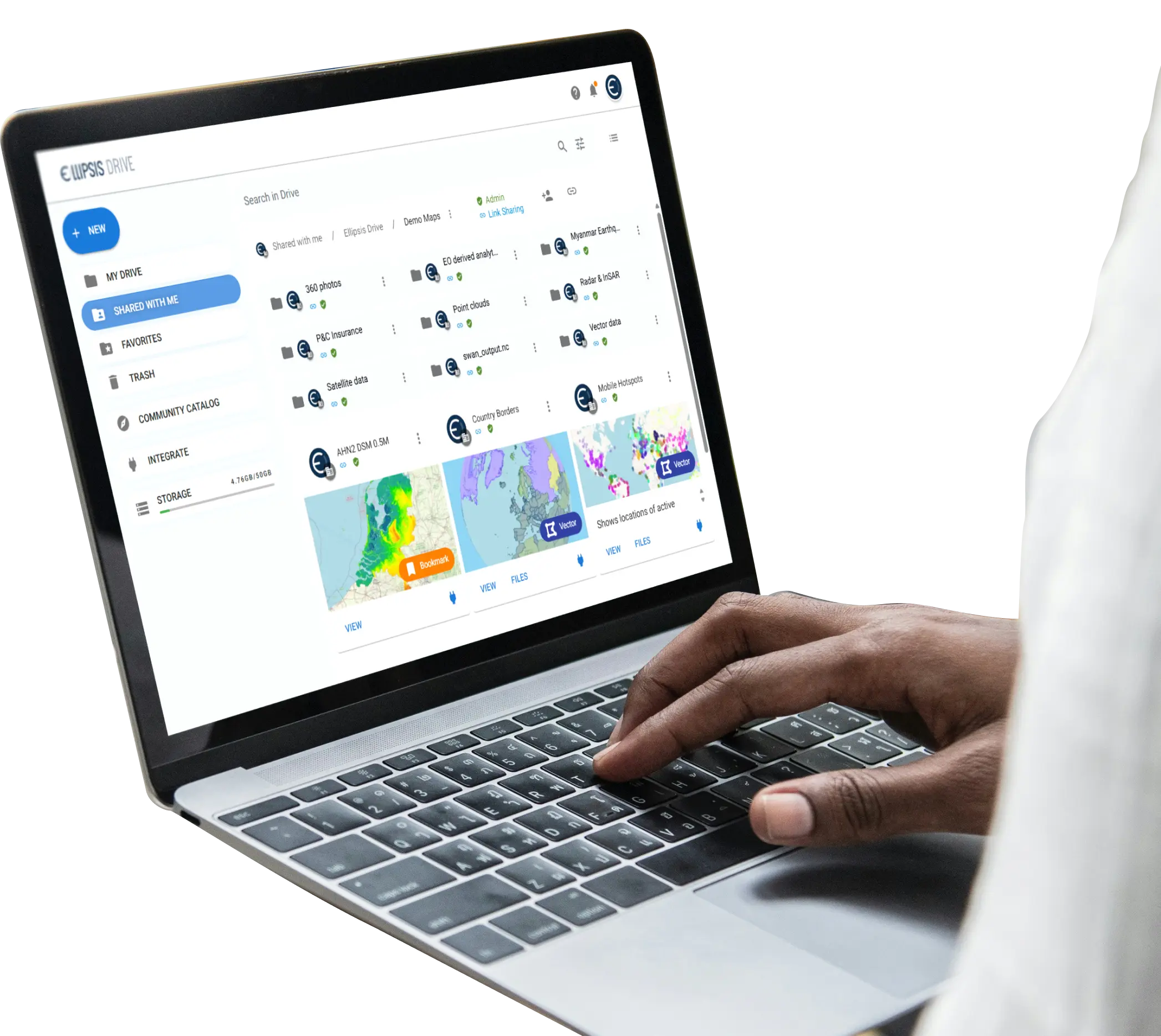
Architected for performance & scalability
Data ingested via Ellipsis Drive is optimized and stored into patented formats that enable fast, scalable access, querying, and visualization of raster, vector, and point cloud datasets regardless of data size. All while keeping existing workflows, storage systems, and infrastructure fully intact.

Users can perform:
Data Delivery
Standard industry protocols with unmatched performance
Dynamic Processing
Styling and band algebra in milliseconds
Instant Analytics
Query and aggregate datasets of any size
Access Control
Flexible authentication and permissions
Projection Support
Any EPSG-recognized coordinate system
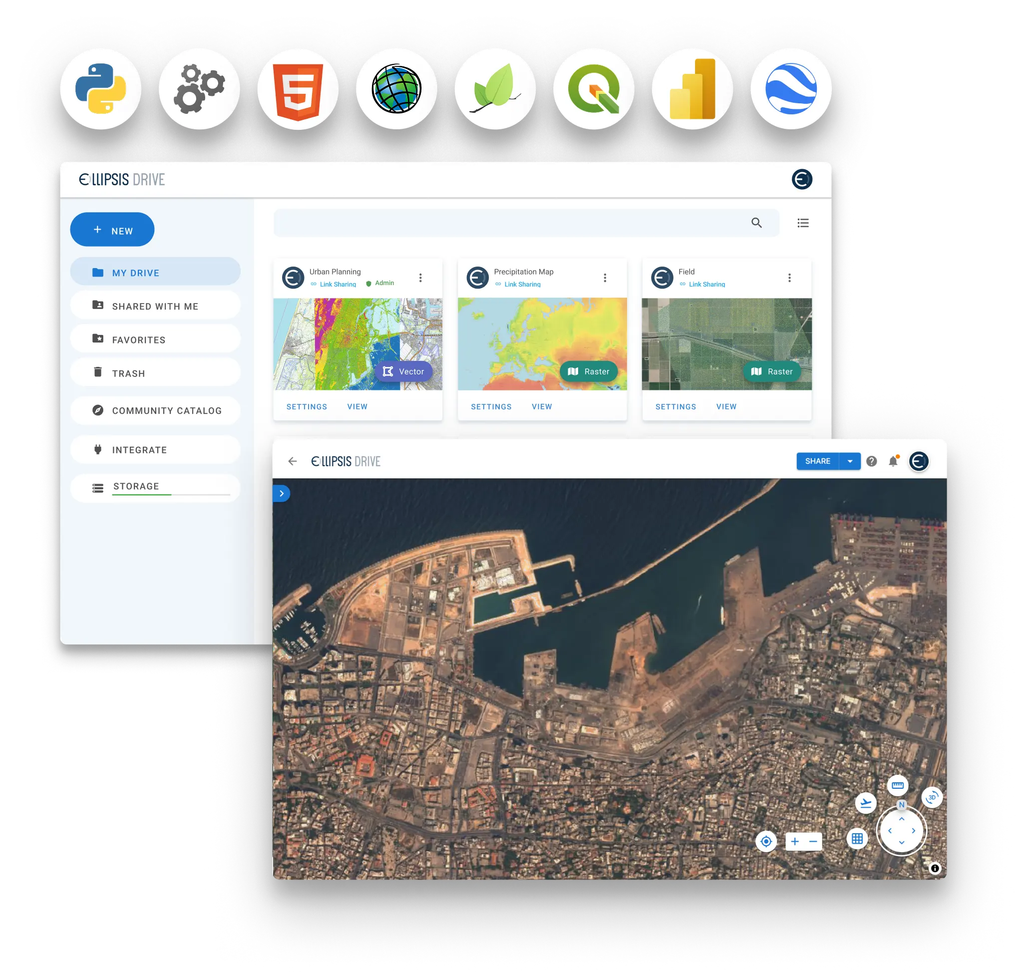
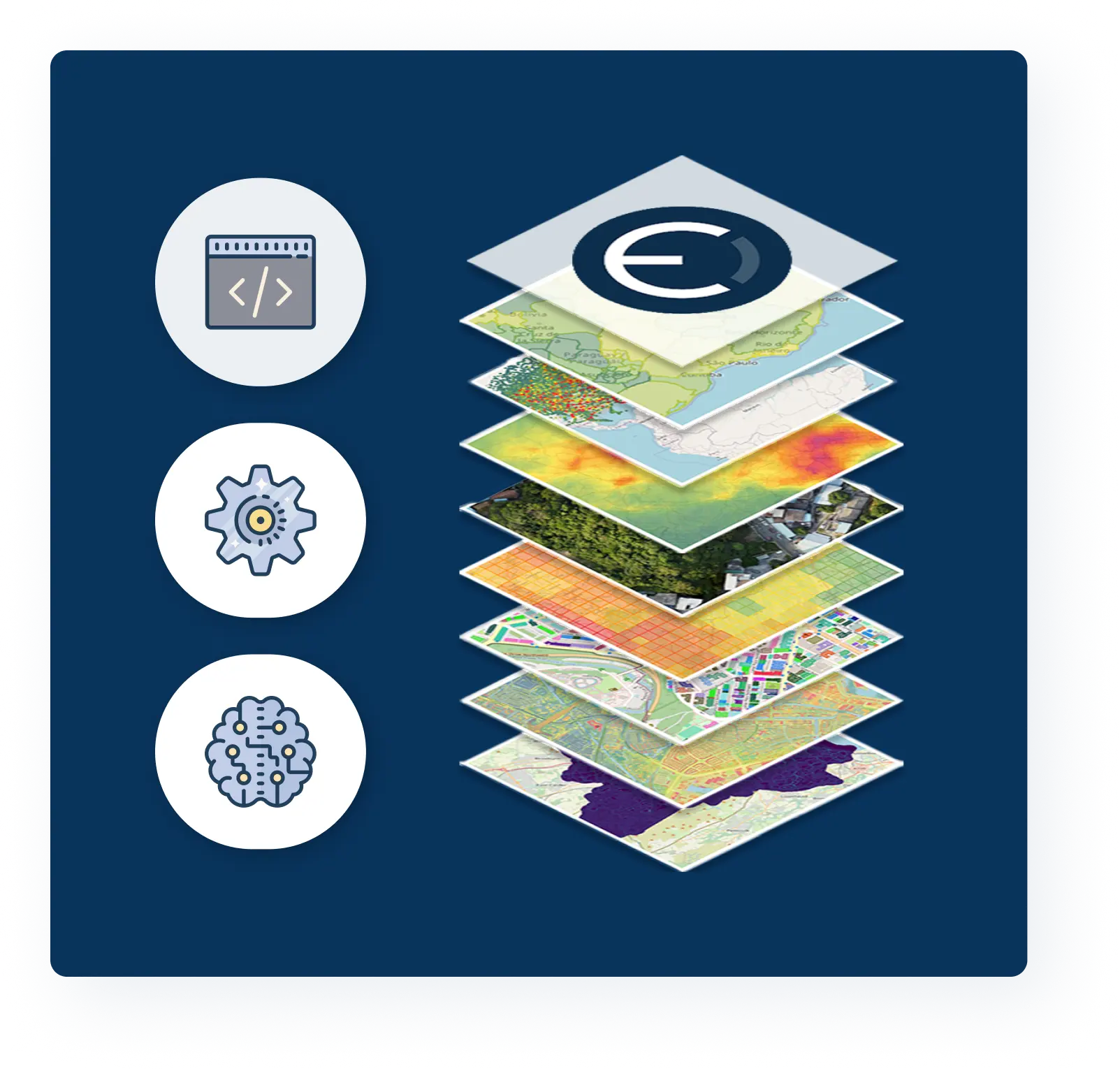
Seamless integration with Ellipsis Map Engine
Ellipsis Map Engine extends Ellipsis Drive with map-native compute, enabling AI analytics and insight generation on all your spatial datasets instantly. All fully integrated with your existing analytical and operational systems.
Explore Ellipsis Map Engine
Deployment and pricing
Ellipsis Drive can be deployed on-premise, in a private cloud, or in hybrid configurations to meet enterprise requirements for performance, security, and scalability.
Explore Deployment & Pricing