AI
Building the Infrastructure Behind Agentic AI
Contents
Introduction: From AI Demonstrations to Enterprise Workflows
Over the past year, Agentic AI has become one of the most talked-about developments in artificial intelligence. Unlike traditional AI systems that respond to individual prompts, Agentic AI can work towards a broader objective by planning, reasoning, and orchestrating multiple tasks autonomously.
For the geospatial sector, this represents a fundamental shift. Instead of manually searching for datasets, preparing imagery, running spatial models, and stitching together results, organizations are moving toward a future where users simply define an outcome, while intelligent agents coordinate the workflow needed to achieve it.
But while the capabilities of Agentic AI are attracting significant attention, far less attention is being paid to what it actually takes to deploy these systems inside enterprise geospatial environments.
As we explored in our previous article, AI alone cannot process satellite imagery, execute large-scale raster analyses, or securely interact with enterprise data. It relies on an underlying infrastructure to perform those tasks.
The conversation, therefore, is no longer simply about building smarter AI agents. It is about building the infrastructure that allows those agents to operate effectively within real-world geospatial workflows.
Let’s unpack what this means. explore this premise.
Beyond the AI Agent: The Infrastructure Behind Intelligent Workflows
Most demonstrations of Agentic AI focus on the intelligence of the model itself. A user asks a complex question, the AI reasons through the problem, and an answer appears almost instantly. While impressive, this only represents a small part of what happens in an operational geospatial workflow.
In practice, an AI agent must interact with an entire ecosystem of data, systems, and services before it can generate meaningful results.
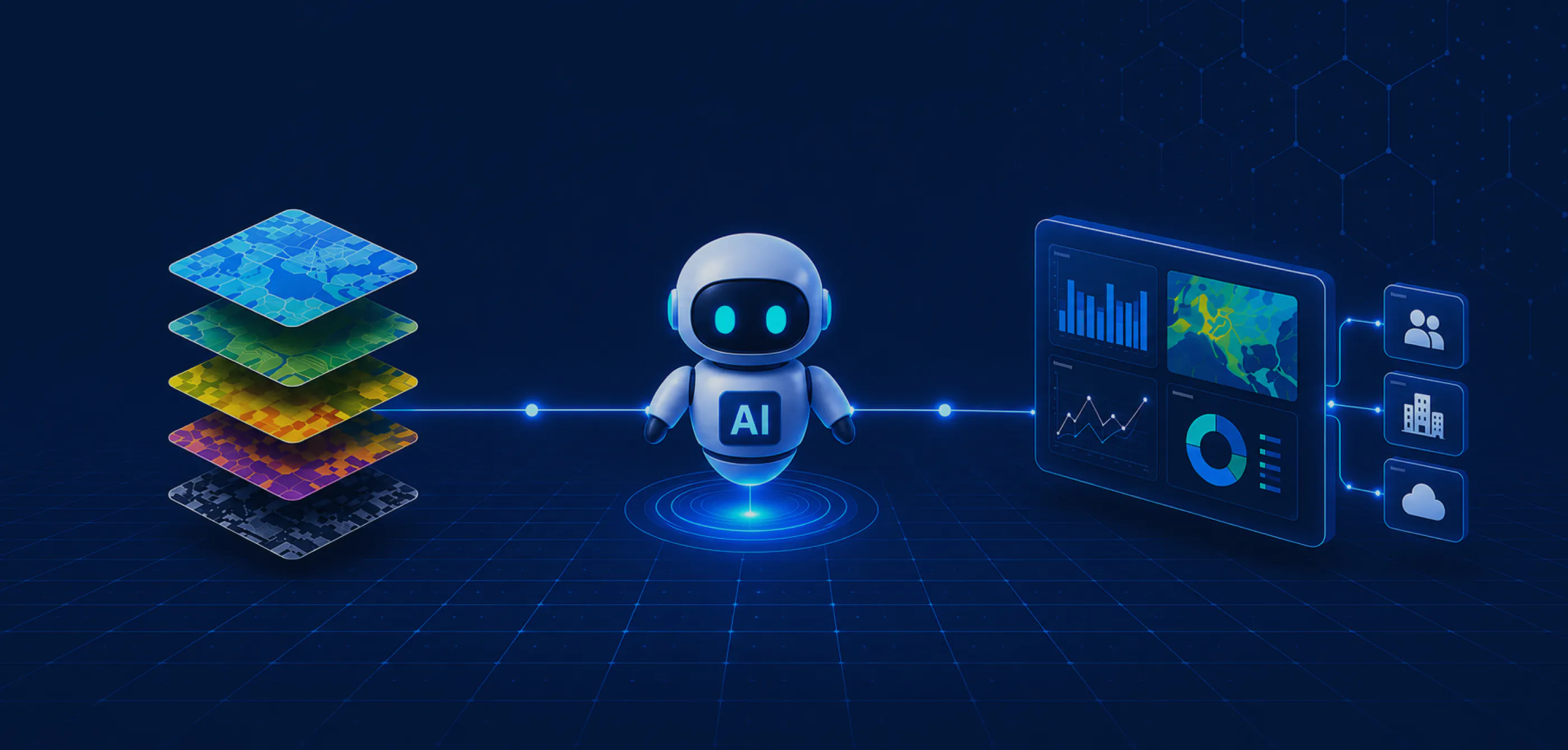
Consider a simple request such as "Identify agricultural regions that are most vulnerable to drought over the next month." Before any analysis can begin, the AI must discover relevant satellite imagery, weather forecasts, elevation models, and land-use datasets. It then needs permission to access those resources, understand how they are described through metadata, execute geospatial computations, and finally deliver the results into the applications where people make decisions.
None of these tasks happen automatically.
Instead, they depend on a robust spatial data infrastructure capable of connecting data, compute, and operational systems into a single workflow.
Several foundational capabilities become essential:
- Data discoverability: Allowing AI agents to identify relevant datasets through well-structured metadata and machine-readable catalogues.
- Interoperability: Enabling the AI to connect seamlessly with existing repositories, cloud environments, commercial data providers, and downstream applications.
- Scalable compute: Where dedicated processing infrastructure executes the Python code and geospatial analyses generated by the AI.
- Enterprise governance: Ensuring identity management, granular permissions, auditability, and secure access throughout every automated workflow.
When these capabilities come together, the role of AI changes. Rather than acting as an isolated chatbot, it becomes an orchestrator that coordinates an entire geospatial workflow across multiple systems.
In many ways, this is the missing layer in today's conversation around Agentic AI: whether the surrounding infrastructure can reliably execute everything the AI is trying to accomplish.
From Prompt to Outcome: An Agentic Workflow in Practice
So what does this look like in practice? Let’s zoom in on the use case we briefly mentioned in the previous section: "Which agricultural regions are most at risk of drought over the next month?"
Rather than manually collecting datasets and coordinating multiple analysis steps, an Agentic AI system receives the objective and begins orchestrating the workflow.
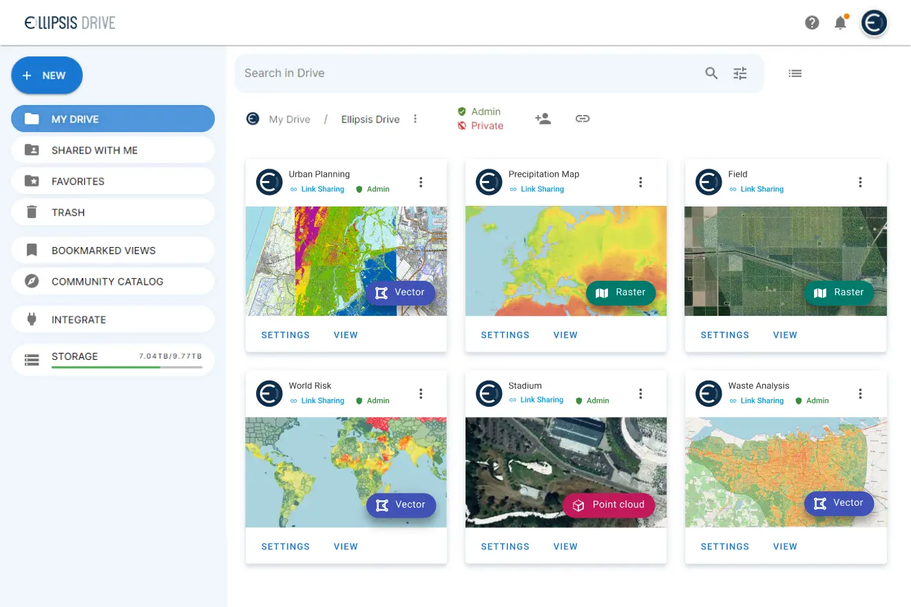
The first step is finding the right data. Through Ellipsis Drive, the AI can search across connected spatial catalogues, cloud storage, enterprise repositories, and third-party data providers using standardized metadata. Support for protocols such as STAC, and emerging AI-friendly standards like MCP, allows the agent to quickly identify relevant satellite imagery, weather forecasts, elevation models, and other supporting datasets.
Once the required data has been identified, the AI generates the instructions needed to perform the analysis. But instead of executing the computation itself, those Python instructions are passed to Ellipsis Map Engine, where large-scale geospatial processing takes place. Raster calculations, model execution, and data fusion are performed within dedicated compute infrastructure built specifically for spatial workloads.
Finally, the results are returned through Ellipsis Drive and delivered directly into existing enterprise workflows, whether that is a GIS platform, operational dashboard, web application, or another downstream system. Throughout the process, enterprise identity management, granular permissions, and version control remain intact, ensuring that automation operates within existing governance frameworks.
The AI provides the reasoning. Ellipsis Drive and Map Engine provide the infrastructure that allows that reasoning to become operational.
Turning Agentic AI into Enterprise Value: Key Benefits
This distinction between intelligence and infrastructure is what ultimately determines whether Agentic AI remains a compelling demonstration or becomes an operational capability.
By providing a unified layer for data discoverability, interoperability, compute, and governance, organizations can dramatically reduce the manual effort involved in building and maintaining complex geospatial workflows. New data sources can be connected without redesigning existing pipelines, AI-generated analyses can scale across cloud environments, and results can be shared seamlessly with both people and downstream systems.
The impact extends well beyond productivity. Teams spend less time searching for data, integrating systems, or orchestrating analyses, and more time interpreting results and making decisions. At the same time, organizations retain the governance, security, and flexibility required for enterprise deployments.
As Agentic AI continues to mature, competitive advantage will no longer come from deploying the latest model alone. It will come from having the infrastructure that enables intelligent agents to discover data, execute analyses, and deliver trusted insights at scale.
Closing Thoughts
Agentic AI is often portrayed as the future of geospatial intelligence. But intelligent agents alone won't transform organizations. The real transformation happens when those agents are supported by infrastructure that enables them to discover data, execute workflows, integrate with enterprise systems, and deliver trusted outcomes.
As we've argued throughout this AI series, the future of geospatial AI isn't defined solely by smarter models. It's defined by the infrastructure that turns those models into operational, enterprise-ready workflows.
Liked what you read?
Subscribe to our monthly newsletter to receive the latest blogs, news and updates.
Take the Ellipsis Drive tour
in less than 2 minutes'
- A step-by-step guide on how to activate your geospatial data
- Become familiar with our user-friendly interface & design
- View your data integration options