Expert's Opinion
From AI Reasoning to Geospatial Reality Ft. HERE Technologies
Contents
AI Is Changing Geospatial Workflows. But Can AI Do It Alone?
Artificial intelligence is rapidly changing how we interact with technology. We can now describe what we want in natural language and expect systems to reason through the steps required to deliver it.
For the geospatial industry, this shift is particularly significant. Location-based questions are rarely simple. They often combine maps, real-time data, routing, imagery, environmental conditions, and other dynamic information.
But there is an important distinction to make: AI can reason about a geospatial problem without necessarily being able to solve it on its own.
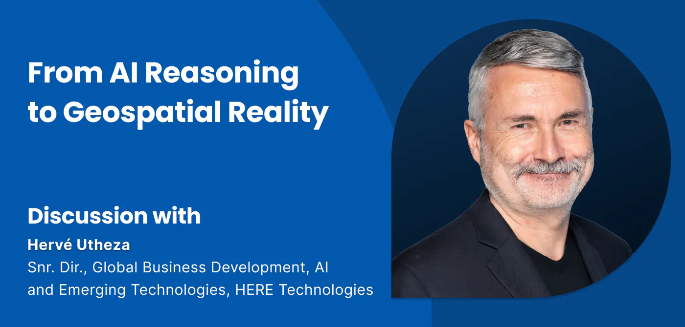
In a recent episode of the Ellipsis Drive podcast, our CEO Rosalie spoke with Herve Utheze, Senior Director, Global Business Development, AI and Emerging Technologies at HERE Technologies, about this convergence of AI and location intelligence. Their conversation highlighted an important question for the industry: how do we combine the probabilistic nature of AI with the deterministic systems that geospatial workflows depend on?
In this article, we will capture the essence of that conversation and explore the above premise. Let’s go!
AI Is Changing More Than the User Interface
For Herve, the AI revolution represents a fundamental change in how humans interact with computers.
After decades of keyboards, screens, touch interfaces, and voice assistants, we are increasingly moving toward systems that understand intent rather than simply responding to commands.
This creates an entirely different way of interacting with geospatial technology.
Instead of manually entering a destination, selecting routing preferences, checking traffic conditions, and comparing alternatives, a user could simply ask:
"Find me the fastest route, avoid the traffic, and stop somewhere suitable for my family along the way."
The AI can interpret the intent and determine which actions need to be taken.
But the implications go beyond the interface.
AI is also transforming how geospatial data itself is created. HERE, for example, uses machine learning to extract and recognize objects from imagery, identify road features, and continuously improve map data.
As Herve explains, this process has been developing for years. The latest wave of generative and agentic AI is therefore not introducing AI to geospatial from scratch. It is extending AI further into how location data is created, accessed, and used.
The Challenge: Probabilistic AI Meets Deterministic Location
This is where things become more complicated. Large language models are fundamentally probabilistic. Give them the same prompt twice and the response can vary. That flexibility is part of what makes them powerful. But geospatial systems often require the opposite.
A routing engine, for example, cannot be mostly correct. A vehicle cannot follow the correct road 97% of the time and drive onto a sidewalk for the remaining 3%. Herve puts the distinction simply: "You cannot drive a truck 97% of the time on the road."
This is why the future of geospatial AI is unlikely to be about replacing deterministic systems with AI models. Instead, it will be about connecting the two.
AI can understand intent, reason through a problem, and determine which tools are required. Deterministic systems can then provide the authoritative data, calculations, and real-time information needed to execute that reasoning reliably.
Location itself makes this particularly important. A map is not simply a collection of roads, buildings, and points of interest. It is a representation of a world that changes continuously.
Traffic changes. Roads close. Weather changes. New infrastructure appears.
The AI may determine what should happen. But reliable geospatial services still need to determine what is actually happening.
From AI Experiments to Measurable Outcomes
The technology is advancing quickly, but another challenge is emerging: determining where AI actually creates business value.
Herve observes that organizations are becoming more mature in how they approach AI. The conversation is shifting from "What can we do with AI?" toward "What should we improve with AI?"
That distinction matters.
Instead of deploying AI simply because it is possible, organizations need to define measurable objectives. Perhaps the goal is to reduce fuel consumption, optimize fleet positioning, improve routing, or reduce the time required to make a decision.
As Herve puts it, "Define your objectives and define the KPIs you want to improve with AI."
This also means understanding what happens underneath the user interaction: how many prompts are being generated, how many API and tool calls are required, which models are being used, and how much computation each workflow consumes.
AI-enabled geospatial workflows therefore need telemetry and feedback loops, not just intelligent models.
The Future Is a Partnership Between AI and Infrastructure
The convergence of AI and geospatial technology is not about one replacing the other. It is about creating an ecosystem where each does what it is best at.
AI can provide reasoning, interpretation, and orchestration. Geospatial infrastructure provides authoritative data, deterministic computation, real-time context, and reliable services.
Herve describes the objective as building a bridge between probabilistic and deterministic computing.
For the geospatial industry, that may ultimately be the more important AI story. So the task at hand is to build an infrastructure that allows AI reasoning and geospatial reality to work together reliably, measurably, and at scale.
Are you up for the task?
Liked what you read?
Subscribe to our monthly newsletter to receive the latest blogs, news and updates.
Take the Ellipsis Drive tour
in less than 2 minutes'
- A step-by-step guide on how to activate your geospatial data
- Become familiar with our user-friendly interface & design
- View your data integration options