GIS
Top Applications of GIS
GIS, short for Geographic Information Systems, is used in various industries for the same reason: it helps to accumulate large amounts of data to facilitate better decision-making abilities. This benefit gives companies the advantage needed to make the right decisions to bring more growth to their business and achieve success.
That being said, you might be wondering why GIS is so good for business use. Surely, not all industries can benefit from it, right? Think again. GIS is used in various sectors like banking, urban planning, and even parking management!
Today, we want to talk about the various industries that benefit from GIS to help you understand how it may help your business:
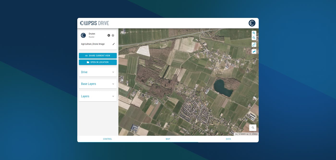
1. Agriculture
With GIS in agriculture, you can identify areas with higher yield potential, monitor crop growth remotely, improve irrigation management, plan effective fertilization strategies or assess soil degradation. GIS also helps you make better decisions on what crops to grow based on real-time information about your fields. By combining this technology with drones that fly over your land collecting aerial imagery you'll have even more valuable insights into how best to optimize the agricultural output.
2. Banking
Not many people realize this, but banks take a lot of time surveying an area before setting up a shop. This is because they want to understand the area's geographical features, the potentiality of customers arriving at their doorsteps, and even the crime rates to see what kind of dangers they might be getting into. When all things look good, they go ahead and make a move.
How do the banks gather and process all of the above information in the first place? This is all thanks to GIS. GIS allows banks to collect plenty of field data for digital surveying purposes. Pair this with remote sensing, and banks can easily collect, interpret, and visualize data from different areas to make the right decisions.
GIS is allowing banks to make smarter financial decisions that directly have an impact on their bottom line.
3. Construction
Using GIS and Drone technology in tandem has made project management of construction sites much more optimized. From tracking street repairs to crime reports, GIS can truly help create smart cities which are the future of human civilization.
GIS has bridged the gap between on site employees and office managers. Real time information can be relayed back so that decisions can be taken on the go without any miscommunication or lags.
GIS continues to be integrated more and more with the construction industry to realize its full potential.
Use GIS to Support Your Company Activities
GIS has found use in many other industries and activities that we have not discussed, such as disease surveillance, disaster management, and more. The simple fact is that GIS provides information so that companies can far more understand what their data means geographically. This helps entities to make the right decisions in their effort to maximize these findings to achieve their goals, whether it be to map out parking spaces, know where to set up a business, and more.
Ellipsis Drive offers a simple storage-based business model, giving companies an affordable solution to use, share, and sell spatial data. If you are looking to purchase geospatial data to support your decision-making efforts, reach out to us today!
Liked what you read?

Subscribe to our monthly newsletter to receive the latest blogs, news and updates.
Take the Ellipsis Drive tour
in less than 2 minutes'
- A step-by-step guide on how to activate your geospatial data
- Become familiar with our user-friendly interface & design
- View your data integration options

Related Articles

Why AI is Reshaping Spatial Data Infrastructure
Artificial Intelligence is rapidly reshaping expectations around geospatial workflows. Organizations no longer want static outputs or slow analytics cycles. They want near real-time insights, scalabl
5 min read

Navigating the Cloud Spectrum: From Generalist to Specialized, and the Perfect Middle Ground
The modern cloud ecosystem spans a wide spectrum of offerings, from general-purpose infrastructure to highly specialized platforms built for domain-specific tasks. At one end, generalist clouds provi
5 min read

Unlocking the Potential of Data: Comparing Tabular and Non-Tabular Protocols
The world of data is a complex landscape and each year, the complexity of that landscape grows exponentially. A combination of new data capturing technology, data processing technology and demands fo
6 min read