GIS
What are the top 4 challenges in GIS Implementation?

In this day and age, many businesses depend on the use of geospatial data for many of their services. Businesses like software appraisers, brokers, construction companies, and real estate professionals all need help from a Geographic Information System (GIS) capable of processing and analysing spatial data. However, there still exists some challenges to the implementation of GIS solutions for research and business applications. This guide explores some of those challenges most organizations encounter when using GIS systems.
Contents
1. Prohibitive Cost
Smaller businesses and agencies are still under the impression that GIS is an expensive tool to invest in and is predominantly out of their reach. They’re mainly worried about the hardware costs, and not to mention the GIS software itself. A GIS system isn’t exactly cheap, thanks to the complex interconnection of the various components that make up a GIS system. Besides the hardware and software costs, there is a need to have fully trained human personnel that is expensive to train and acquire. While those things do require some amount of investing, the value that GIS can provide for these companies far outweigh the costs.
2. Inconsistent Data
Capturing accurate data is crucial if you want to make sound business decisions. But what happens if the data you managed to acquire and analyse turns out to be inconsistent and unreliable? This is where GIS tools often struggle because of the often inconsistent, inaccurate, or outdated data.
Remember, your decisions are only as good as the data you use to make them. Even if you have the right tools with you, they also rely on how accurate your data is. GIS software primarily uses spatial databases, which have many of the same challenges as any other type of dataset. Inconsistent data primarily stems from varied conceptualization and categorization. There are also those technical issues like file management and data cleaning.
Join the Community
Subscribe to our monthly newsletter to receive the latest blogs, news and updates
3. Lack of Standardization
Continuing the issue of inconsistent data, one of the main reasons this happens is due to a lack of standardization. There seems to be no heterogeneity between datasets and the resulting maps, which was exacerbated by the eventual evolution and development of new GIS systems.
Some issues on standardization include loose colour conventions for geographic information as well as the variations in how elements are represented on a map. Different GIS systems use different icons for the same features. Data layers seem to suffer the same fate, which is why real estate users need to rethink which data layers they will need and ensure the tool has them before they can use them effectively.
4. Siloed GIS Data
Imagine having a Google Maps version of GIS. That would be a dream come true for many organizations. Unfortunately, that tool doesn’t exist because of how siloed each GIS system is and the data that they carry. Instead of having one sizable data-enriched map of the entire country, every city, county, and state has its own GIS systems. With GIS systems quite varied and the lack of integration between the systems, it’s almost impossible to visually compare data across geographic areas.
GIS Systems Need to Evolve
Facing these challenges is no easy task, especially now that we know just how vital geospatial data is for many industries. The only solution we need to look forward to is to have an all-in-one solution that will allow GIS users to share data freely without any discrepancies.
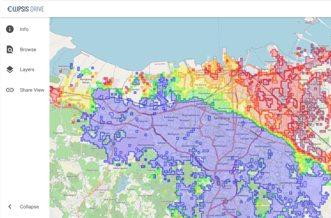
What can Ellipsis Drive do for you?
Make spatial data management easy. Connect your data to your target audience in minutes.
Support all popular data endpoints and protocols off-the-shelf.
Related Articles

Why AI is Reshaping Spatial Data Infrastructure
Artificial Intelligence is rapidly reshaping expectations around geospatial workflows. Organizations no longer want static outputs or slow analytics cycles. They want near real-time insights, scalabl
5 min read

Navigating the Cloud Spectrum: From Generalist to Specialized, and the Perfect Middle Ground
The modern cloud ecosystem spans a wide spectrum of offerings, from general-purpose infrastructure to highly specialized platforms built for domain-specific tasks. At one end, generalist clouds provi
5 min read

Unlocking the Potential of Data: Comparing Tabular and Non-Tabular Protocols
The world of data is a complex landscape and each year, the complexity of that landscape grows exponentially. A combination of new data capturing technology, data processing technology and demands fo
6 min read