Earth Observation
Expert's Opinion
A Stable Infrastructure for Radar derived 3D Data Visualization

Contents
Introduction
In the latest episode of The Ellipsis Drive Podcast, our CEO Rosalie van der Maas hosted jC Clark, a professional with over 20 years of experience in Insurance and Earth Observation (EO) entrepreneurship. jC reeled in his past experience with Arturo, Array Labs and MAXAR amongst others to comment on the current state of 3D visualization in the market and the best foot forward.
jC zoomed in on the go-to-market journey of Array Labs (an EO startup established to create a real time 3D map of the world) and churned out some interesting insights for business leaders to apply in their respective endeavors. This article summarizes the key talking points of the conversation.
Let’s go!
Go to Market Strategy for EO Start-ups: Building Customer Demand
The lines between strategy and execution are quite blurry for start-ups. A lot of it boils down to putting a product in the market, getting customers to interact with the product and then understanding this interaction to fine tune the product offering. For the EO industry – which is highly capital and time intensive – it is doubly important to have a clear understanding of the market.
EO satellites take time to be launched and transmit data. Very few companies use this time to create customer demand.
“There is a notion, especially in the remote sensing industry, that if we build something they (customers) will come. If we give daily surface images of the planet, they will come. If we have hyperspectral images of the planet, they will come. There will be a million use cases. But that’s not the case. The customer needs to be educated of a future potential well in advance. The demand needs to be validated beforehand. That was and still is one of the key focuses at Array Labs – to showcase the future potential of 3D visualization right now.” said jC.
jC and the team at Array Labs asked themselves - “Is there a way to create radar derived 3D data from space today?” And the answer was yes! The solution wasn’t of the same scale or quality as their own satellite constellation. But it didn’t have to be for Proof-Of-Concept (POC) purposes.
“The answer to the question came from our fantastic partnership with Umbra. It wasn’t a like to like comparison, the modalities were different. But it was still radar data. And for the 3D element, we partnered with Raytheon Technologies. That allowed us to place actual radar derived 3D data in customers’ hands instead of their synthetic counterparts. It has enabled us to educate our customer base about 1) radar based 3D products; 2) the difference between other kinds of 3D products that are currently available in the market. And because of the non-synthetic aspect of the data, we have managed to sell the data to customers and give them a foresight of things to come. From here on out, the data is only going to get higher resolution, frequent updates, larger coverage and cheaper. So it’s been truly transformative.”
A Stable Infrastructure for 3D Visualization
The market has never seen radar-derived 3D data until now. Being a trail blazer comes with its own set of challenges. In this case, creating a stable infrastructure to successfully deliver the new technology into people’s hands is the unique challenge.
Radar-derived 3D data is inherently more dense than its 2D counterpart. It has one additional dimension. To cover the landmasses of the US, Japan and Australia alone, updated every 90 days, the data ranges in petabytes. That’s not an insignificant amount of data.
“There are two things to consider when going about the infrastructure assessment. The first one is simple – it should be able to bring the data to ground and process it. But the second one is tricky, you need to understand what the customer is going to do with the data. How does your customer want to interact with the data? You can’t just push a heavy file towards them and expect them to make sense out of it. In most cases, what the customer really wants is a completely new product that is derived from the initial 3D data. The onus is on us to apply Machine Learning, Analytics and other technologies to distill the data and provide the customers with exactly what they want. And the infrastructure needs to support this.”
Taking large amounts of data and making it easily accessible, interactable, computable and demonstrable are necessary tenants of good product development. A stable infrastructure aids this notion.
Changing trends for Spatial Data Infrastructure – Buy vs Build decision
There is definitely a 3D visualization challenge prevalent in the market. And an ever changing market landscape doesn’t help.
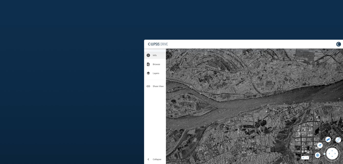
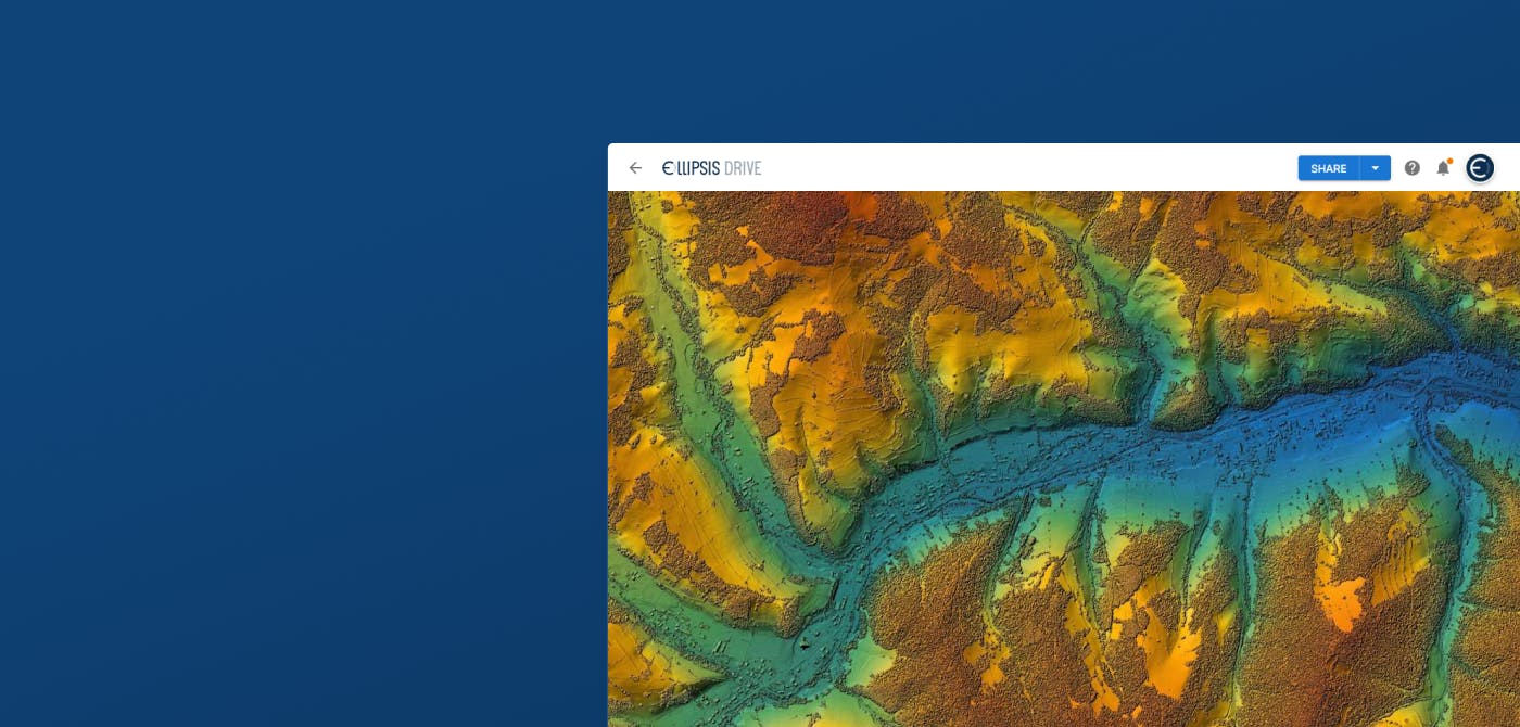
Here were jC’s comments on the shift he has noticed over the past decade. “We don’t have too many answers about the future – what the full ground segment is gonna look like, or how internationally distributed the product is going to be, or which cloud providers are the best choice to move the data from space to ground segment. But thanks to our relationship with Ellipsis Drive, we could simulate what things are gonna look like with our Site 3D product. We could pull in Umbra’s SAR data, point cloud data, customer polygons and allow users to visualize it on a web browser without any need for heavy downloads. Customers can drag-and-drop their datalayers on top of our layers. Ellipsis Drive has enabled such interoperability and flexibility to Array Labs in a matter of days. Without the need to write a single line of code. Now that’s a game changer!”
The key change has been the speed with which Array Labs could put their sample products in the hands of their customers to validate their use cases. And the elimination of cloud services & product engineering man hours (all of which easily costs $150-200k/year) that go behind building an in-house infrastructure.
Closing Thoughts
In the last decade itself, we have seen tremendous changes in the market conditions (which includes technologies, customers demands etc.). The rate of these changes is only going to get faster.
Building a mentality where you’re constantly learning and adapting along with the market and its customers is critical. It is important to have a vision of what the world looks like a couple years from now. And it is even more important to make sure that the gap between our execution and this vision diminishes as time moves along.
“Data computability is the future. If we extrapolate the advances in Machine Learning (ML), we’re gonna have capabilities that blow our minds. But it will be worthless if our data is not computable. I love to think of ways to get the data in conducive environments/infrastructures without making too big of an investment. That’s one of the key aspects of our relationship with ED. There’s always an emphasis on making data computable. And of course, the amazing visualization is a big bonus!”
We would like to thank jC for taking the time to share his opinions on the subject. We are confident that when these insights are heard and acted upon by other thought leaders, they will create synergy and growth throughout the ecosystem. Be sure to watch the full podcast here.
Until next time!
Liked what you read?

Subscribe to our monthly newsletter to receive the latest blogs, news and updates.
Take the Ellipsis Drive tour
in less than 2 minutes'
- A step-by-step guide on how to activate your geospatial data.
- Become familiar with our user-friendly interface & design
- View your data integration options

Related Articles

Satellite-as-a-Service (Part 2): The New 'SaaS' in town
So… where were we? Ohh right, somewhere in space! Jokes aside, in the previous installment of this article series, we discussed the evolution of the SmallSatellite industry. We have established the sh
4 min read

Revealing the Invisible Truth of Earth ft. Wyvern
On the latest episode of The Ellipsis Drive Podcast, our CEO Rosalie van der Maas was joined by Chris Robson, CEO and Co-Founder of Wyvern. Wyvern is a Canadian space data company dedicated to reveal
5 min read

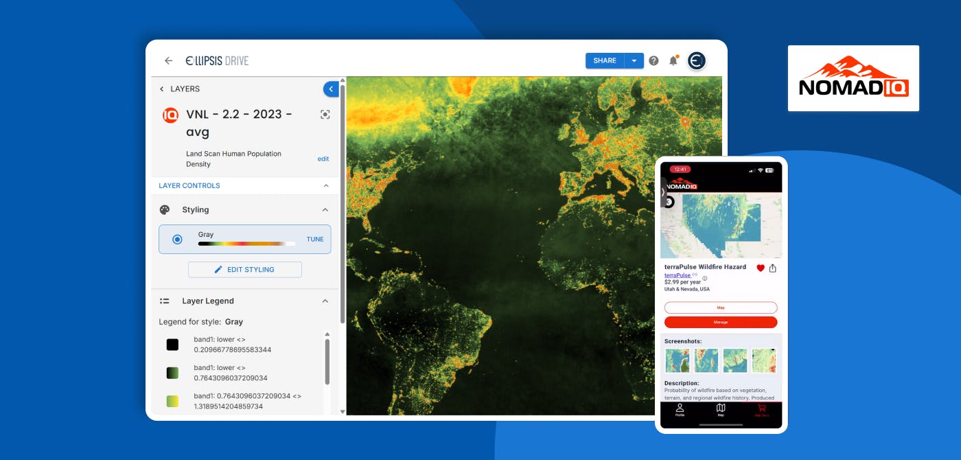
Connecting Earth Observation Datasets to End Users Ft. NomadIQ
“From established basic research and government land management to growing demand in carbon markets, hazard insurance, and even recreational apps, there's a rapidly developing market for satellite-ba
5 min read