GIS
Are Today's Spatial Data Infrastructures Ready for 3D?
Contents
Introduction: The Next Evolution of Geospatial Data
For decades, geospatial workflows have revolved around two primary data types: raster and vector. Together, they have formed the foundation for everything from environmental monitoring and infrastructure management to agriculture and urban planning.
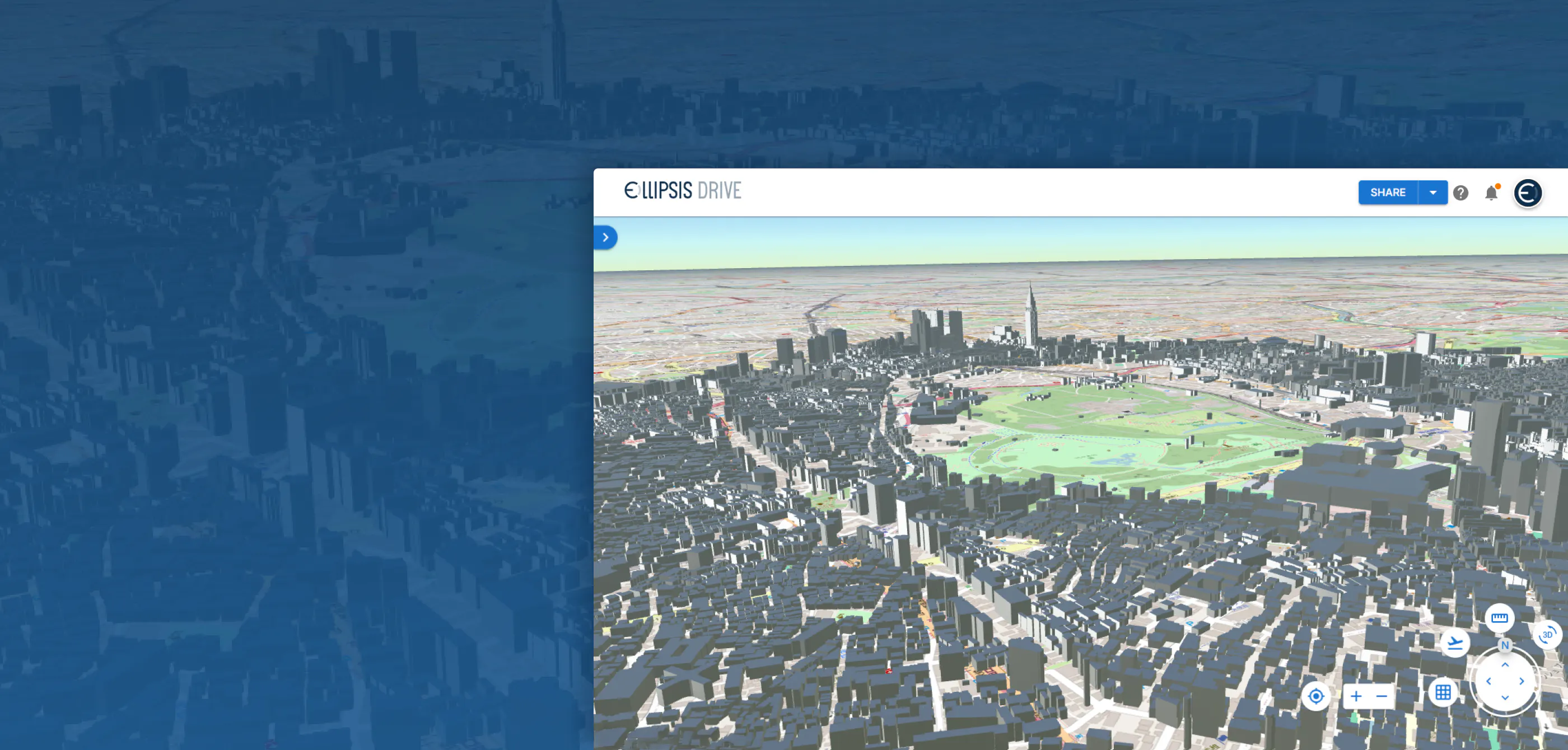
Today, however, a new generation of spatial data is beginning to reshape that landscape. Advances in drone technology, photogrammetry, LiDAR, and digital twin initiatives are driving the rapid adoption of 3D reality meshes (highly detailed digital representations of the physical world composed of millions of interconnected surfaces).
Unlike traditional maps, reality meshes allow organizations to interact with infrastructure, buildings, landscapes, and entire cities in three dimensions. They provide richer context for inspection, planning, simulation, and operational decision-making across industries.
But this evolution raises an important question:
Are today's Spatial Data Infrastructures (SDIs) designed to manage the growing scale and complexity of 3D geospatial data?
As organizations continue to generate increasingly detailed spatial datasets, the challenge is managing, sharing, and operationalizing that information efficiently across people, systems, and workflows.
The Rise of 3D Geospatial Data
Organizations are no longer satisfied with static maps or periodic imagery updates. They increasingly want dynamic, high-fidelity representations of the physical world that support continuous monitoring and more informed decision-making.
Whether inspecting bridges, monitoring construction progress, managing utility networks, or developing city-scale digital twins, 3D data provides a level of detail that traditional raster and vector datasets simply cannot deliver.
At the same time, creating these datasets has become significantly easier. Advances in drone technology, airborne sensors, photogrammetry software, and cloud computing have dramatically lowered the barrier to producing detailed 3D models. What was once a specialist capability is quickly becoming part of everyday geospatial operations.
This shift also changes the expectations placed on spatial infrastructure. Organizations are no longer working with a handful of large datasets that are updated once or twice a year. Instead, they are continuously collecting new observations, generating updated meshes, and combining them with existing raster, vector, and point cloud data to build richer operational views of the world.
In other words, the conversation is no longer simply about supporting another data format. It is about supporting an entirely new way of working with geospatial information. So the next question is whether the spatial infrastructures beneath them are evolving at the same pace.
Why 3D Exposes the Limits of Traditional Spatial Infrastructure
Unlike raster or vector datasets, reality meshes fundamentally change the demands placed on spatial infrastructure. While they unlock richer visualizations and more accurate representations of the physical world, they also introduce new technical challenges that many existing systems were never designed to handle.
Modern 3D workflows require infrastructure that can support:
- Massive datasets. Reality meshes often consist of millions of polygons and textures, resulting in datasets that can range from tens of gigabytes to several terabytes.
- Efficient streaming. Downloading an entire 3D model is rarely practical. Instead, users need infrastructure capable of streaming only the portions of a model that are required at a given moment.
- Continuous versioning. Buildings, roads, construction sites, and natural environments are constantly changing. As new surveys are captured, organizations need to manage multiple versions of the same asset without disrupting downstream workflows.
- Interoperability. Reality meshes rarely exist in isolation. They need to integrate with existing raster imagery, vector datasets, point clouds, BIM models, and the GIS platforms organizations already rely on.
- Cloud-native scalability. As organizations begin capturing 3D data operationally rather than occasionally, infrastructure must scale to accommodate growing volumes without compromising performance.
As richer forms of spatial data become part of everyday operations, organizations need systems capable of managing them with the same reliability, accessibility, and flexibility they expect from more traditional geospatial datasets.
Building Infrastructure for the 3D Era
Supporting reality meshes is about building infrastructure that can accommodate the growing diversity of geospatial information within a single, interoperable ecosystem.
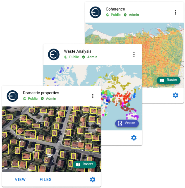
At Ellipsis Drive, this philosophy has always been central. Alongside raster, vector, point cloud, and other spatial formats, reality meshes can be managed within the same Spatial Data Infrastructure, making them accessible through a unified platform rather than another disconnected repository.
The objective is to ensure that increasingly complex datasets remain discoverable, interoperable, and operational across the organization.
That means enabling organizations to:
- Manage multiple geospatial data types through a single infrastructure.
- Connect data where it already resides instead of creating unnecessary duplication.
- Deliver large 3D datasets efficiently through cloud-native architectures.
- Maintain version history as assets evolve over time.
- Integrate seamlessly with downstream workflows..
As organizations continue investing in digital twins, infrastructure monitoring, and reality capture, these capabilities become increasingly important. The value of 3D data isn't determined by how detailed the model is, but by how easily that model can be shared, integrated, and used to support better decisions.
Closing Thoughts
Reality meshes represent more than just another geospatial data format. They signal a broader shift in how organizations capture, understand, and interact with the physical world.
As 3D geospatial data becomes increasingly common the conversation is moving beyond data collection. The real challenge is building infrastructure capable of managing these richer datasets at scale.
The organizations that succeed won't simply be the ones creating the most detailed 3D models. They'll be the ones with the Spatial Data Infrastructure to operationalize them. Securely, efficiently, and across every workflow.
Liked what you read?
Subscribe to our monthly newsletter to receive the latest blogs, news and updates.
Take the Ellipsis Drive tour
in less than 2 minutes'
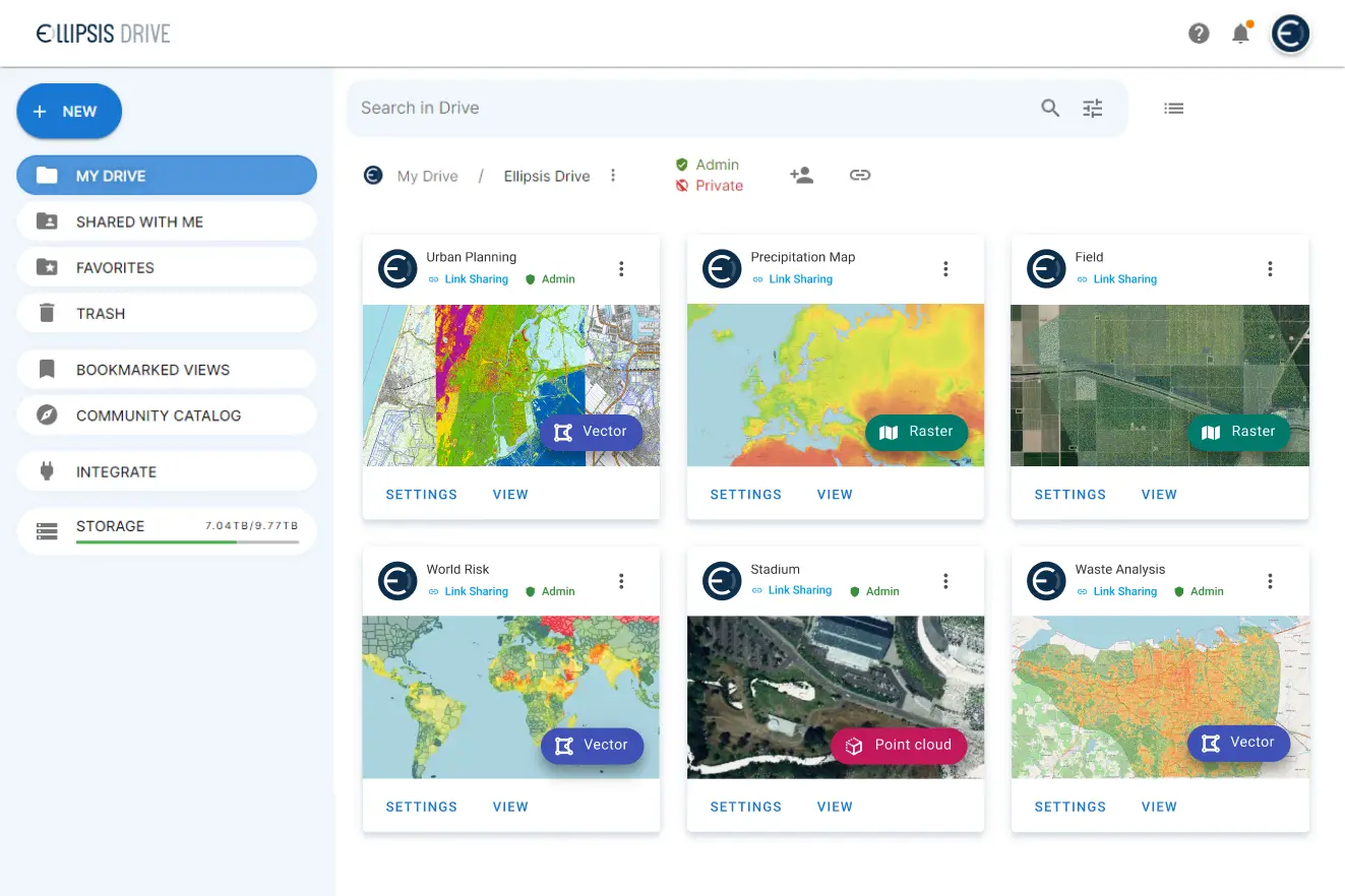
- A step-by-step guide on how to activate your geospatial data
- Become familiar with our user-friendly interface & design
- View your data integration options
Related Articles
The Misconceptions Behind Modern Data Strategies
In modern data strategy, few ideas sound as intuitive as putting all your data in one place. One system. One source of truth. One architecture. Easier access, simpler management, and perhaps even a f
5 min read

Unlocking the Potential of Data: Comparing Tabular and Non-Tabular Protocols
The world of data is a complex landscape and each year, the complexity of that landscape grows exponentially. A combination of new data capturing technology, data processing technology and demands fo
6 min read
Spatial Data Fusion: Transcending spatial data to the next level
In this day and age, spatial data is extremely versatile in its use. It is proving to be a key success driver as countless businesses integrate it with their decision making. But the industry has foun
3 min read