GIS
Spatial Data Fusion: Transcending spatial data to the next level
In this day and age, spatial data is extremely versatile in its use. It is proving to be a key success driver as countless businesses integrate it with their decision making.
But the industry has found a way to transcend to the next level, through Spatial Data Fusion.
Interesting right? Read on to find out how.
Contents
What is Spatial Data Fusion?
Spatial Data Fusion is the merger of different spatial data assets to create a unified dataset or uniformly accessible database to provide a better understanding of a situation or problem at hand. Thus, giving the various spatial data inputs more context and dependability.
At its core, Spatial Fusion Data is here to enrich your analysis process and lets you cross reference and visualize things that couldn’t have been possible otherwise.
By merging data sets, GIS analysts and data scientists are able to fill in gaps within individual spatial data sets and control these input variables more diligently.
The concept of data fusion does not need to be limited to the coming together of data from different sources. A change analysis that occurs on the same type of spatial data over a period of time (multitemporal data) can also be considered a form of spatial data fusion. The fusion component being time, in this case.
Spatial data fusion has led to improved decision making as a result of richer data with less noise. It has also increased the ease of interpretation for the user which has also aids more informed decision making.
Types of Sensor Data
Remotely sensed data is the heartbeat that drives spatial data fusion. The ability to acquire remote sensing data is continuously on the rise with new modes of data collection, such as drones and UAVs, gaining in popularity. Not to mention the 6000+ Earth Observation satellites hovering in the Earth’s orbit.
There are countless types of spatial data sets available today. Each one with its own set of applications, advantages and shortcomings. Here are some of the key data types that can be considered:
- Multispectral
- Spectral
- LiDAR
- SAR Data
- Digital Elevation Model (DEM)
Applications of Spatial Data Fusion
Here are some key applications and use cases of spatial data fusion -
Flood Management - Digital Elevation Models provide the distance above sea level. By combining this data source with multispectral satellite imagery that can create soil maps (profile of soil), a flood response system can be created based on the level of risk
Deforestation - An example of time series analysis, by merging and analyzing forest areas over a period of time, change analysis reports can be created to make trends more reliably visible.
Agriculture - Combining different data types to pick up on correlating variables such as crop density, height, and vegetation health
Construction - This includes spatial data on land use, land management, resource exploration and project logistics.
Final Thoughts
The key takeaway from this article should be one of collaboration, and the doors of opportunity that it can open. That is what data fusion is essentially, isn’t it? A coming together of data elements and (as driving factor) organizations who create synergies between them.
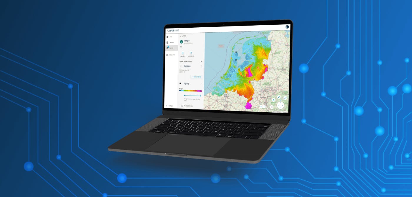
Being experts of data management and collaboration ourselves, Ellipsis Drive takes great pride in creating the world’s first fully interoperable drive for spatial data of any kind. If you have the data and the vision for it, we are proud to provide you with the means.
Activate your spatial data in under 10 minutes and get your journey started. Are you interested in learning more?
Check out our solutions page to see if we’re a good fit for you. Or even better, schedule a free demo with our experts to talk about your needs.
Liked what you read?

Subscribe to our monthly newsletter to receive the latest blogs, news and updates.
Take the Ellipsis Drive tour
in less than 2 minutes'
- A step-by-step guide on how to activate your geospatial data
- Become familiar with our user-friendly interface & design
- View your data integration options

Related Articles

Why AI is Reshaping Spatial Data Infrastructure
Artificial Intelligence is rapidly reshaping expectations around geospatial workflows. Organizations no longer want static outputs or slow analytics cycles. They want near real-time insights, scalabl
5 min read

Navigating the Cloud Spectrum: From Generalist to Specialized, and the Perfect Middle Ground
The modern cloud ecosystem spans a wide spectrum of offerings, from general-purpose infrastructure to highly specialized platforms built for domain-specific tasks. At one end, generalist clouds provi
5 min read

Unlocking the Potential of Data: Comparing Tabular and Non-Tabular Protocols
The world of data is a complex landscape and each year, the complexity of that landscape grows exponentially. A combination of new data capturing technology, data processing technology and demands fo
6 min read