GIS
CAD vs GIS - A Comparative Analysis
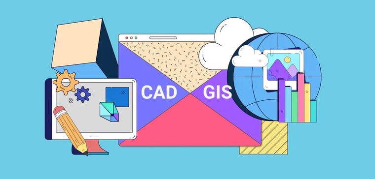
CAD and GIS are two types of spatial softwares. GIS captures, stores, analyzes and presents spatial information visually. Meanwhile, computer-aided drafting or CAD enables you to design products or infrastructures in 2D and 3D diagrams. The benefit of CAD is that it makes visualization easier, for example, the construction of a building. Here are things that GIS stakeholders should know about both these softwares.
Contents
The Difference between GIS and CAD
GIS deals with raster and vector data types. It enables data management of particular schemas. Meanwhile, operators can be more artistic when using CAD—it enables them to design to their specifications. Since they organize information differently, it is challenging to facilitate data transfers between the two platforms. For example, transforming a file from CAD to GIS would require you to read the CAD file and double-check the names of colors, line styles, levels, layers, and more. Anything that does not meet the standard goes through technical cleanups.
Another difference between the two is that CAD creates models using coordinates relative to the object. Meanwhile, GIS maps existing structures using a spatial database. The tools that both platforms use are also different—CAD creates layers and dimensions using circles, lines, and text. However, GIS uses vectors and rasters to represent geographical areas.
Finally, CAD and GIS use different types of databases. On the one hand, GIS deals with geodatabases or cloud GIS softwares designed for collaborative data management. On the other hand, CAD uses a manufacturing database containing data technicians generate during the designing phase, like part lists, material specifications, shape and dimensions, and more.
Will One System Replace the Other?
CAD and GIS address different needs, so it is unlikely for one to replace the other. CAD lacks analytics capabilities, which is something GIS provides. It can take the data from CAD and use it for answering quantitative questions.
For example, GIS can give you the amount of time it will take for a person to leave a building through its exit points. By detecting changes over a time period, spatial and temporal GIS analysis is also possible. It can also enable GIS analysts to create heat maps of the most popular routes and compute the most efficient routes between locations.
People whose role involves one application typically do not need to be proficient in the other. Since GIS creates maps and CAD creates objects, few roles will require you to use both of them regularly. There are instances, though, when you have to use GIS and CAD for the same project. For example, if you are planning an expansion, you need to create a map of the premises on GIS and then design improvements on CAD. Map data provides developers with enough data to see how much space they can use.
These systems also enable better facilities management. GIS can help facilities managers decide the best way to use certain areas. Meanwhile, CAD can show the effect of having new buildings around older ones.
With the emergence of 3D GIS mapping softwares, there are now possibilities of merging the good parts of both GIS and CAD to create a powerful mapping tool.
Wrapping Up On CAD and GIS
CAD creates models of objects that developers will produce, while GIS recreates the world as it is. Both applications are necessary for gathering information on an area, but they provide different types of data. Design projects can use both, so technicians and developers need to know the fundamentals of each.
Ellipsis Drive helps organizations to collaborate better on projects involving spatial data. We enable spatial data collaboration and geo-analytics, helping companies to manage and deliver geodata better, regardless of their software preferences. Set up an account and start a free trial today!
Liked what you read?

Subscribe to our monthly newsletter to receive the latest blogs, news and updates.
Take the Ellipsis Drive tour
in less than 2 minutes'
- A step-by-step guide on how to activate your geospatial data
- Become familiar with our user-friendly interface & design
- View your data integration options

Related Articles

Why AI is Reshaping Spatial Data Infrastructure
Artificial Intelligence is rapidly reshaping expectations around geospatial workflows. Organizations no longer want static outputs or slow analytics cycles. They want near real-time insights, scalabl
5 min read

Navigating the Cloud Spectrum: From Generalist to Specialized, and the Perfect Middle Ground
The modern cloud ecosystem spans a wide spectrum of offerings, from general-purpose infrastructure to highly specialized platforms built for domain-specific tasks. At one end, generalist clouds provi
5 min read

Unlocking the Potential of Data: Comparing Tabular and Non-Tabular Protocols
The world of data is a complex landscape and each year, the complexity of that landscape grows exponentially. A combination of new data capturing technology, data processing technology and demands fo
6 min read