GIS
Digital Elevation Models: A Detailed Walkthrough
Contents
Share
Contents
Introduction
Life is full of ups and downs. The Earth’s surface is full of ups and downs as well. The difference between the two is that there is a lot of benefit in analysing the Earth’s surface, while there is none in overanalysing life.
With that little piece of wisdom out of the way, let’s focus our attention on today’s topic - Digital Elevation Models (DEM). Let’s dive into how we map the elevation of the Earth’s surface and how put this data to use with DEMs.
What are Digital Elevation Models (DEMs)?
A Digital Elevation Model is a raster representation of the Earth’s surface. The Earth’s surface is visualized in the form of a raster grid with the reference point being the sea level where the elevation is 0 meters. DEMs are usually devoid of any surface objects such as trees and buildings for a much better interpretation of the model.
The finer the raster grid, the more detailed in the Digital Elevation Model. A DEM with a spatial resolution of 20 m and above is the most common one.
How do you capture Digital Elevation Models?
Remote sensing, i.e. capturing the data of the Earth’s surface from remote sources such as satellites, aircrafts and drones, is one of the most effective and efficient ways of obtaining data that feeds into the DEM.
Remote sensing technology has completely changed the game for creating DEMs, with data about large parts of inaccessible land also becoming readily available.
Here are the 3 popular remote sensing methods that are most commonly used to capture the raw data which is later converted into a DEM -
- Synthetic Aperture Radar (SAR) - Using an antenna/satellite that emits radar signals. These then bounce back from the Earth’s surface and are caught by the satellite sensor to create an image.
- Light Detection and Ranging (LiDAR) - Lidar works on a similar principle as SAR, but instead of radar signals, it uses light waves.
- Digitized Contour Lines - Using a contour map, a DEM can be easily digitized and interlinked.
What are the types of Digital Elevation Model?
DEMs can be further classified into Digital Surface Models (DSMs) and Digital Terrain Models (DTMs). The classification is primarily based on the type of information that is depicted in the DEM.
DSMs incorporate objects that are on the Earth’s surface (natural and manmade) into the model as well. DSMs are usually used in creation of airport projects (especially analyzing runways), for creating visualizations during urban planning, and for tax maps.
DTMs on the other hand are bare models of the Earth’s terrain devoid of any objects. It is a 3D view of the bare surface of the Earth where the z axis value represents the elevation.
Key factors affecting DEM
When putting a DEM to work, usage boils down to the quality. There are several factors that account for this -
- Vertical Resolution
- Interpolation Algorithms
- Terrain Roughness
- Terrain Analysis Algorithm
What are the common applications of DEMs?
From what you’ve read so far, you can get a good idea of how useful DEMs can be. They help you visualize the surface of the Earth, with or without objects as per your use case.
Here are some the common applications of DEMs -
- Terrain analysis
- Modeling for water management
- Modeling for disaster management (for flow modeling of avalanches and landslides)
- Modeling soil wetness
- Creation of relief maps
- Urban planning and modeling
- Input for GPS maps creation
- Creating tax maps
Where to find free DEMs?
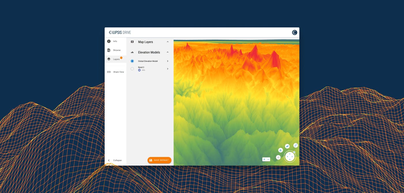
There are several areas where you can find free resources needed to create your own DEMs. Many countries provide DEMs readily via the relevant state run authorities. In The Netherlands, Het Waterschapshuis (hWh) provides detailed and precise DEMs with an average of eight height measurements per square meter. They use Ellipsis Drive’s spatial data solution for easy dissemination of DEMs with relevant stakeholders.
Space Shuttle Radar Topography Mission (SRTM) is one of the most widely used publicly available with a spatial resolution of 30 m.
You can download SRTM data here.
Basics of DEM Analysis
- Data Acquisition - Acquiring the raw inputs from sites such as SRTM or indeed manually capturing terrain images through high resolution satellite imagery
- Data Modeling - Using image processing and photogrammetry to further clean the data
- Data Management - Further consolidation of data using data coding, data structuring and other relevant spatial data processing techniques
- Application - Finally applying these processed DEMs to relevant applications as mentioned in this article above
A collaborative tool for DEM Applications
We hope that we have educated you on Digital Elevation Models and how they can be applied to your business needs. Applications on DEM are often a multidisciplinary affair. A smooth flow of information is critical to the success of the project.
Ellipsis Drive’s first-of-its-kind spatial data drive is an ideal solution for such collaborative projects where there is constant to and fro of geospatial data. Simultaneous access via multiple end points is possible with our solution.
Our drive is also compatible with all the off-the-shelf protocols making it easy to connect with your GIS software tools.
Are you interested in knowing more about our unique solution? Contact us today!
Liked what you read?

Subscribe to our monthly newsletter to receive the latest blogs, news and updates.
Take the Ellipsis Drive tour
in less than 2 minutes'
- A step-by-step guide on how to activate your geospatial data
- Become familiar with our user-friendly interface & design
- View your data integration options

Related Articles

Why AI is Reshaping Spatial Data Infrastructure
Artificial Intelligence is rapidly reshaping expectations around geospatial workflows. Organizations no longer want static outputs or slow analytics cycles. They want near real-time insights, scalabl
5 min read

Navigating the Cloud Spectrum: From Generalist to Specialized, and the Perfect Middle Ground
The modern cloud ecosystem spans a wide spectrum of offerings, from general-purpose infrastructure to highly specialized platforms built for domain-specific tasks. At one end, generalist clouds provi
5 min read

Unlocking the Potential of Data: Comparing Tabular and Non-Tabular Protocols
The world of data is a complex landscape and each year, the complexity of that landscape grows exponentially. A combination of new data capturing technology, data processing technology and demands fo
6 min read