Expert's Opinion
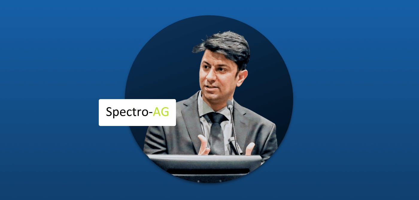
Episode 4: Hamed Mehdipoor, Director @SpectroAG
Welcome back to another fresh episode of ‘What’s New in NewSpace?’, a QnA blog series for industry thought leaders to share trends, perspectives, ideas and more.
In the 4th episode of “What’s New in NewSpace?”, we have with us Hamed Mehdipoor, Director at Spectro AG. Their flagship offering is Deep4Sat, a Geo-AI solution that allows its users to build and operationalize deep learning models for detecting, counting and mapping objects of interest in high resolution satellite, aerial and drone images.
Here's what Hamed had to say about the NewSpace industry and our way forward.
How do you see the NewSpace ecosystem shaping up in the near future?
We expect the NewSpace industry to evolve into a comprehensive support engine that not only creates raw data from space but also adds the intelligence necessary to turn available data into a valuable resource. As such, this goes beyond data collection and storage. Users now want algorithms to process Earth Observation (EO) data and compress them into geo-insights.This includes AI-based algorithms, including machine learning and deep learning models to classify and detect pixels or objects of interest for users.
There is a high demand for spatial data assets in various industries and government bodies. The spatial information feeds into their management models. This trend is evident for non-AI experts as well, who wish to use algorithms to search and map their object of interest in almost every area of application.
For example, in urban planning, municipalities are interested in several objects influencing the life quality of people, animals and plants. Or in precision agriculture, where agro-businesses are interested in geoinformation about farm activity.
What is your organization’s role in this?
At Spectro-AG BV, our mission is to design and develop automated AI solutions for counting, detecting and analysing objects of interest from space. We provide ready-to-use solutions that users with minimum expertise in AI and remote sensing can benefit.
We believe that automatic generation of Geo-AI based information is vital for smart decision making. Our Deep4Sat platform is a good example of such a solution. We aim to give this tool to people that do not have expertise in Geo-AI and remote sensing but need to build and use deep learning models to recognize, count and map their object of interest.
We have integrated our services with solutions like Ellipsis Drive to make the tool more accessible and compatible with geospatial data management tools.
What is your take on spatial data delivery and integration at user end?
Our experience with drone and high resolution satellite imagery is that users want a fully automated data chain. This starts with data retrieval, processing & analysis, to finally data visualization via a unified platform or directly in existing systems and applications. Users want to get as much as possible, as fast as possible from their data!
Retrieving and using EO data used to be a privilege reserved for remote sensing and GIS experts. Users with no expertise in these domains would easily get lost and frustrated. Automation in spatial data management is still far from being perfect, but a great deal of progress has been made! As a result of these advancements, technologies are more integrated and approachable.
Ellipsis Drive is a valuable gateway for users to go above and beyond viewing and integrating EO data. The seamless UI makes the life of users easier and more fruitful. Spectro-AG, in close collaboration with Ellipsis Drive, is doing its best to improve the spatial data chain for its users.
Closing Thoughts
We would like to thank Hamed for taking the time to share his opinions and perspectives with our readers. We strongly believe that sharing ideas makes them blossom, and that voicing challenges helps us overcome them together.
Do you have valuable insights to share with the NewSpace community? Get in touch with our editor akshay@ellipsis-drive.com to get featured in this QnA series.
Be sure to subscribe to our newsletter and follow us on social media to not miss out on a new episode. Until next time!
Stay up to date on developments and opportunities.
Our mission at Ellipsis Drive is to boost your business by removing spatial data silos. Stay in the loop on developments, news and opportunities by receiving our monthly updates in your mailbox.
Related Articles

From Maps to Outcomes: How Agentic AI Is Transforming Geospatial Workflows
For decades, geospatial professionals have worked with a series of tools, datasets, and workflows to answer increasingly complex questions. Whether a
5 min read
Importance of Kubernetes for Modern Geospatial Infrastructure
Whether it's processing satellite imagery, running AI models, or delivering real-time spatial analytics, today's geospatial platforms are expected to
6 min read
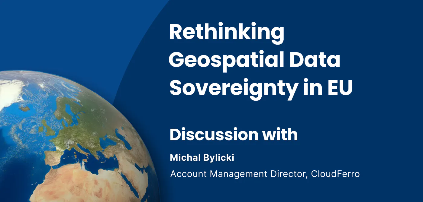
Rethinking Geospatial data Sovereignty in Europe Ft. CloudFerro
The topic of data sovereignty is often reduced to a question of where data is stored. But in practice, it is far broader than location. It is about h
6 min read