Use Case
Gathering clay data for optimal excavation
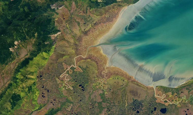
If the land you own was filled with mineable gold, you would probably want to at least know, right? What if you were sitting on tons of valuable clay? Turns out that could be worth a small fortune as well!
The excavation of top-notch clay is a lucrative enterprise but discovering clay and testing its quality is a process that requires expert help.
One inquisitive Dutch landowner sought the help of civil engineering firm Bureau Wetering to identify what different types of clay their land’s soil contained.
To test if any areas on the property contained useable clay, Bureau Wetering began drilling for earth samples and sending them to a laboratory for analysis. As it turns out, the property contained loads of valuable clay. Hooray!
In order to identify the clay structure of the soil, the team measured how clay samples varied across the land and documented useful data points, as well as clay drilling locations on a map.
Traditionally this mapping required the swapping of various map drafts back and forth from the office to the drill sites while also integrating new reports from the laboratory. This was a slow-moving and at times confusing process. To make matters worse, sharing insights with site managers and engineers was messy, and having multiple mapping drafts meant there was no single source for the most up-to-date and truthful information.
Already using Ellipsis Drive for their ecological field research activities, Bureau Wetering decided to map their clay data on the cloud as well. Uploading information about the drilling sites to a live and shareable map, the team was able to collaborate in real-time and share their data with off-site decision-makers using a simple web link. Instead of dealing with pen and paper, fieldworkers simultaneously added data to a shared digital map, and everyone felt up to date on the project’s development.
Creating a detailed and easily accessible online report about the land’s clay structure, Bureau Wetering was able to optimize its on-site mapping activities as well as easily communicate the soil constitution to the landowner. All of this was done with no physical map drafting and no data sharing headaches. It was smiles all around for the happy field workers at Bureau Wetering and the landowner was very satisfied.
Liked what you read?

Subscribe to our monthly newsletter to receive the latest blogs, news and updates.
Take the Ellipsis Drive tour
in less than 2 minutes'
- A step-by-step guide on how to activate your geospatial data
- Become familiar with our user-friendly interface & design
- View your data integration options

Related Articles

The Waterschapshuis: Drought Monitoring in The Netherlands
Despite the small size of the country, The Netherlands is the second largest exporter of agricultural products in the world. What’s their secret? What makes them tick? Well, it is a combination of ide
2 min read

Build Smart, Not Hard: How Element 84 Guides Clients with Spatial Data Infrastructure
For this episode of the Ellipsis Drive podcast, we sat down with Dan Pilone, CEO of Element 84, a geospatial engineering firm known for guiding organizations through some of their toughest technical
5 min read

EarthDefine: Protecting the Earth's Green Cover
Trees are the single most selfless beings on this planet. They have given so much to this world in so many ways. We literally owe them our lives by breathing in the precious oxygen that they produce.
3 min read