GIS
How Remote Sensing Makes Geospatial Data Collection More Accessible
Many industries, such as civil engineering, mapping, environment conservation and geoanalytics rely heavily on geodata. Although collecting and analysing this information has been difficult in the past, the development of technology has made it possible for more recent and advanced instruments to flourish. One of the most revolutionary methods of gathering geospatial data is remote sensing, which helps collect information about the Earth’s surface.
Contents
What Is Remote Sensing?
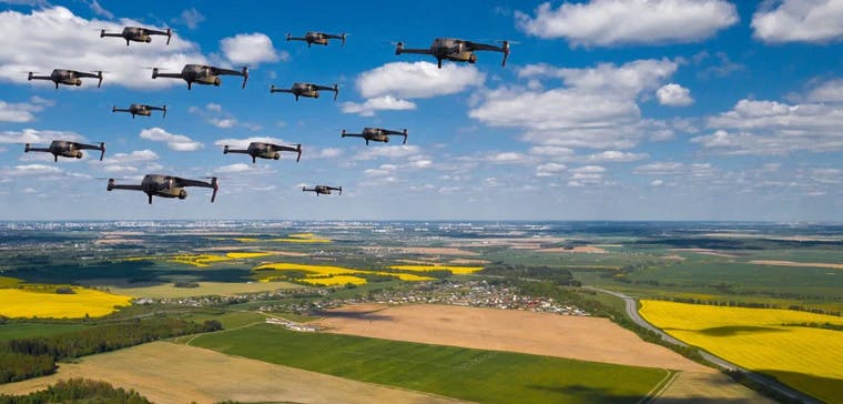
Remote sensing pertains to the process of gathering information about the environment, which includes areas, objects, and even natural phenomena. All these happen from a distance, primarily conducted through satellites and aircraft. But in recent times, new and lean devices such as drones and UAVs have made geodata collection easier.
Sensor technology is essentially used to detect and classify objects on Earth, including water bodies and the layers of the atmosphere.
Remote sensing may sound like a fancy new technology, but it can be traced back to 1860. It began with James Wallace Black and his photograph of Boston, which he took from a balloon.
The technology is now used primarily for mapping and spatial analysis, with geodata coming in the form of electromagnetic radiation. After this, it is processed through geospatial data visualization into a digital image enhanced by spatial information.
What Are the Sources of Remote Sensing Data?
Remote sensing data come from various sources. As mentioned above, aerial surveying is one of the earliest methods of this technology. Remarkably, it’s still one of the cheapest and most widely used methods as well. With the development of UAVs (such as drones), aerial surveying still flourishes as a geospatial data-gathering method.
Satellites are also a good source of information, with various uses such as mapping, environmental research, weather forecasting and military intelligence. LiDAR, or Light Detection and Ranging, is also a form of remote sensing that uses laser pulses to measure objects on the ground. Researchers can then analyse and use the data gleaned through an easy-to-use spatial data platform.
How Can Remote Sensing Improve Geodata Collection?
The increasing capabilities of computers and communication technology have facilitated the development of remote sensing applications. Here are some of the advantages of using remote sensing technology:
- It can detect natural calamities, especially since it’s more than capable of monitoring floods, forest fires, volcanic eruptions and other disasters. For this reason, the necessary people can easily detect problem areas that need to be addressed immediately.
- A single image captured through remote sensing technology can be applied to multiple real-world studies. This is particularly useful in the research field, where information needs to be abundant. That single image can provide researchers with a vast amount of data, making remote sensing undeniably powerful.
- Remote sensing also allows users to enjoy a systematic data-gathering process. It will enable users to easily collect data, which they can quickly process through the help of AI (artificial intelligence) and other machines.
- Remote sensing also ensures unobtrusive processes, ensuring that mapped-out areas, objects, and other items remain undisturbed throughout the process. For this reason, it remains to be a relatively safe process.
Invest in a Collaborative Mapping Solution
Technology has allowed remote sensing to change the world of geospatial data. Its unobtrusive, systematic, and multipurpose process has made collecting and analysing information more accessible than ever. This development has positive implications for a wide range of industries worldwide, and it will continue to improve over time.
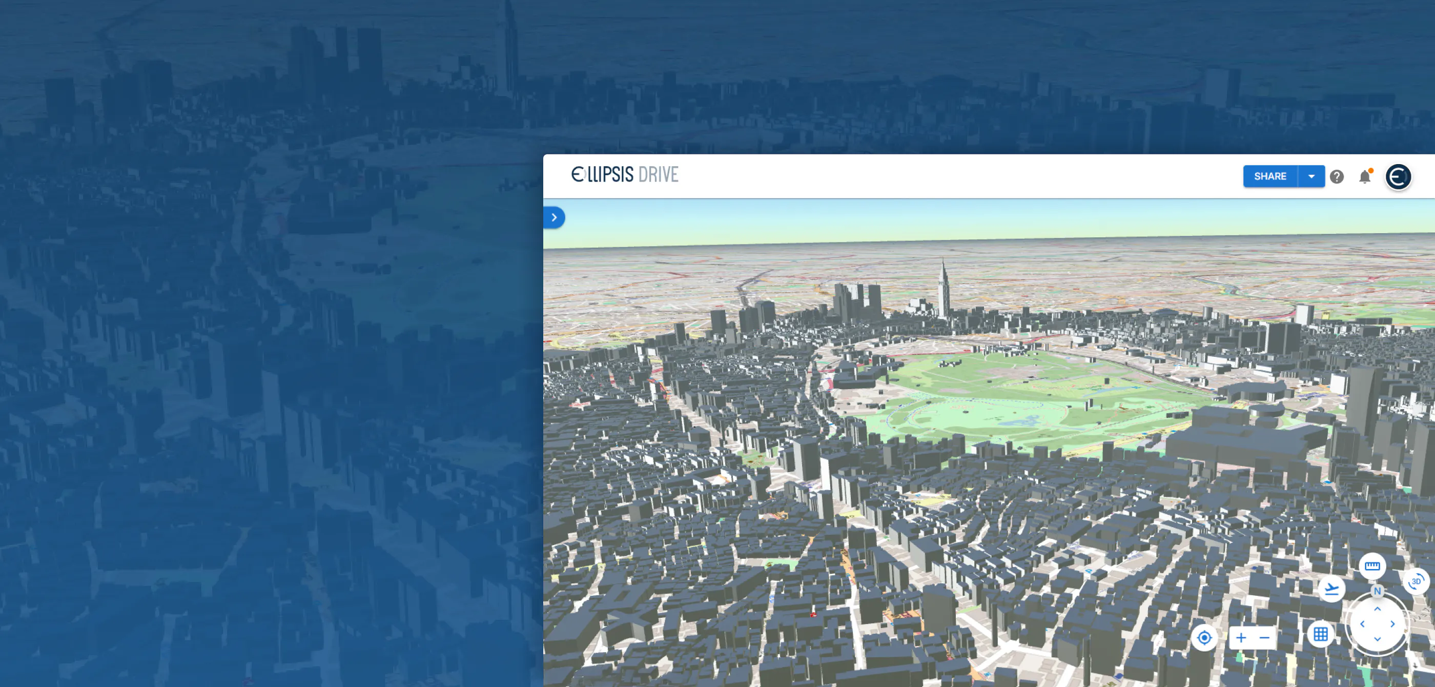
If you’re looking for a collaborative mapping solution that allows you to create, share, and use spatial data, Ellipsis Drive is here to help. We offer a spatial data platform that’s affordable and easy to navigate, allowing you to advance along with technology and the planet. Invest in our solutions—contact us today!
Liked what you read?

Subscribe to our monthly newsletter to receive the latest blogs, news and updates.
Take the Ellipsis Drive tour
in less than 2 minutes'
- A step-by-step guide on how to activate your geospatial data
- Become familiar with our user-friendly interface & design
- View your data integration options

Related Articles
Are Today's Spatial Data Infrastructures Ready for 3D?
For decades, geospatial workflows have revolved around two primary data types: raster and vector. Together, they have formed the foundation for everything from environmental monitoring and infrastruc
6 min read

Why AI is Reshaping Spatial Data Infrastructure
Artificial Intelligence is rapidly reshaping expectations around geospatial workflows. Organizations no longer want static outputs or slow analytics cycles. They want near real-time insights, scalabl
5 min read

Navigating the Cloud Spectrum: From Generalist to Specialized, and the Perfect Middle Ground
The modern cloud ecosystem spans a wide spectrum of offerings, from general-purpose infrastructure to highly specialized platforms built for domain-specific tasks. At one end, generalist clouds provi
5 min read