GIS
Mapping and Geographic Information Systems: What Is It?

Liked what you read?

Subscribe to our monthly newsletter to receive the latest blogs, news and updates.
One of the biggest things helping organizations today is incorporating geographic information systems to help present and share data. A geographic information system or GIS is a system that captures, stores, manipulates, manages, and analyzes all types of geographic data. This means that portions of the data it stores are spatial and in reference to locations here on earth.
Attribute data is often paired with geographic data, allowing you to define additional information about spatial features. For example, schools need spatial data, and the attribute data for schools would include its name, student capacity, and other similar attributes. When you work with geospatial data and attribute data, it transforms into an effective tool for problem-solving.
Seeing that GIS is more than just software and there's more to it than what it collects and the data it provides, let's dig a bit deeper. In this article, we'll share with you everything you need to know about mapping and geographic information systems. Let's get to it!
What is GIS, and What Does it Do?
A geographic information system, as mentioned earlier, is an effective tool used for problem-solving and decision-making processes, thanks to its features, allowing for visualization of data in a spatial environment. But what is geospatial data used for?
1. Map Features and Spatial Relationships
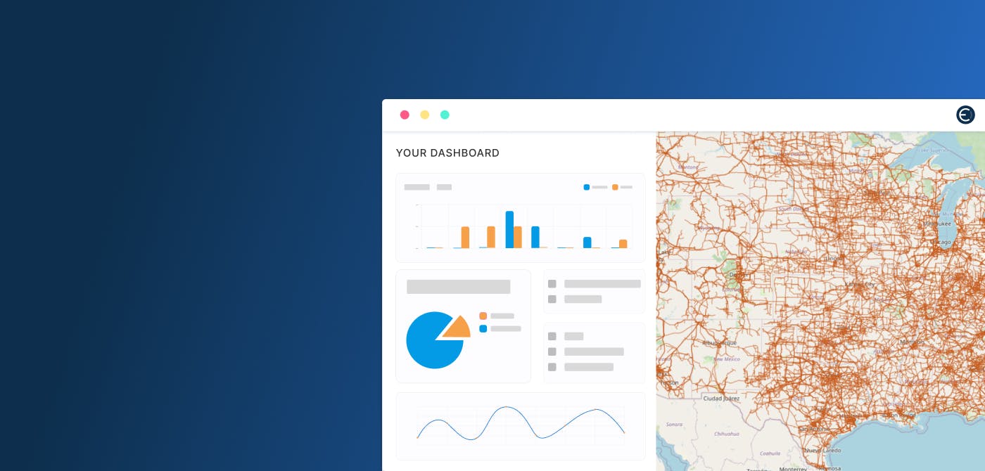
With the help of a GIS system, you can map the spatial location of different features and visualize their relationships. For example, in mining locations, you can see visual patterns and data by identifying frac sand mining activity within the region and specific types of geology.
2. You Can Map Quantities
Another helpful feature of GIS is that it allows you to map quantities to find spaces that meet their criteria or to simply see the relationship between spatial areas. For instance, in a map, you can input dots to show the density of hospital locations, allowing you to find areas in the country with the least healthcare services.
3. Mapping Concentrations or Densities
GIS can also help you visualize the density of a certain area. For example, to identify the least to most populated areas in the country.
4. Know What is Happening in a Region
The great thing about GIS is that it provides organizations data on what is happening in a certain location or region. A set of criteria can be created and used to define an area of interest (AOI), allowing the characteristics of that area to then be described. This knowledge can save businesses time and money by automating something that would otherwise be manual.
5. Learn What's Within a Certain Area
Geospatial data also helps analysts find out what is happening within an area of interest. This is particularly helpful when you're determining a course of action after a natural disaster, especially for relief operations and rescues.
6. Analyze and Identify Change in Geographic Areas
Finally, one of the best things GIS can do is help you determine and anticipate changes in a certain area, helping you decide the best course of action due to a natural occurrence or other geographic developments.
The Bottom Line: Your Organization Needs Geographic Information Systems, And We Can Help You
GIS can help elevate the way businesses collect and store data. Given all of the advantages it can offer, it is imperative to integrate this technology, develop your organization's campaigns, and leverage the data. For many businesses, however, integrating GIS can be an extensive and costly process. There is a solution: seeking help. Accessible GIS solutions can be found with providers such as Ellipsis Drive, allowing you to store all your geospatial data, share your research, and manage all your spatial administrations.
Why Choose Ellipsis Drive?
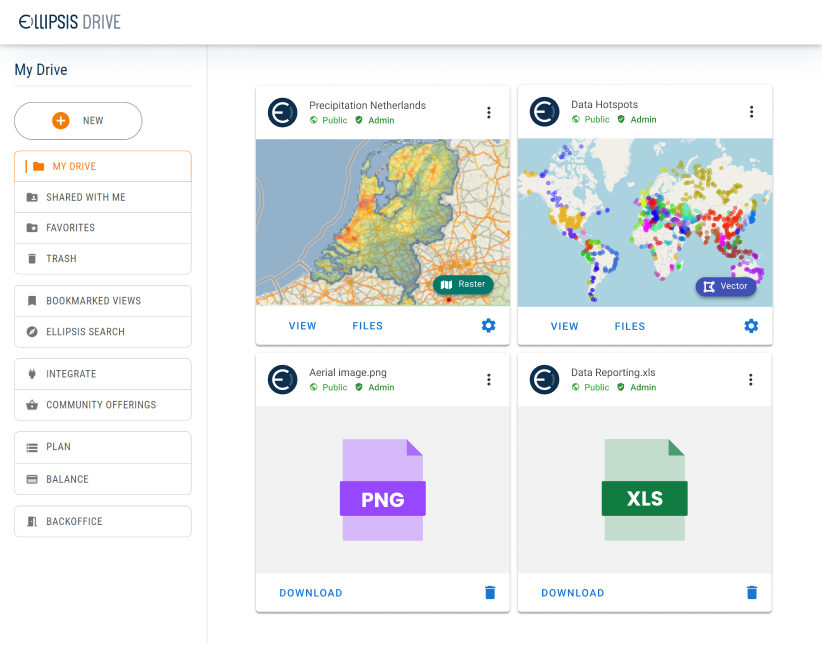
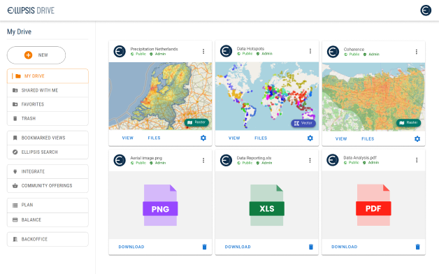
Ellipsis Drive helps organizations be more successful in using, producing, and sharing spatial data. Our drives help you manage and deliver geospatial data, commercialize spatial analytics, manage spatial administration, monitor your environment, and more.
Register an account and start your trial today!
Take the Ellipsis Drive tour
in less than 2 minutes’
- A step-by-step guide on how to activate your geospatial data.
- Become familiar with our user-friendly interface & design
- View your data integration options

Related Articles

Fusing The Boundaries of Spatial & Non-Spatial Data Management (PART 2)
In the first part of this series, we established how spatial data is woefully siloed. And how both the existing options (building in-house and buying a commercially serviced spatial data infrastructu
4 min read

Fusing the Boundaries of Spatial & Non-Spatial Data Management (PART 1)
There are countless solutions available for general (non-spatial) data management, ingestion, integration and analysis–Databricks, Snowflakes, BigQuery being some of the well known names that spring
5 min read

Drones and GIS Mapping | Top 5 Drone Mapping Softwares
Drones and GIS have both risen in popularity in recent years due to their versatility and myriad of applications in multiple industries. Drones or Unmanned Aerial Vehicles (UAVs) are easy to acquire a
5 min read
