Use Case
Bureau Wetering: Real-time Habitat Mapping for Smart Engineering
Bureau Wetering is a Netherlands-based civil engineering firm that safeguards water systems and ecological interests by engineering nature-friendly features like fish passageways and habitat banks.
To make this happen the Wetering team needs to gather lots of data about the build environment. For years, this has posed a major challenge.
Sending field workers into the field with a pen and a stack of paper maps led to fragmented and slow-moving, map making. It was arduous for engineers to make key decisions and updating clients took lots of time and energy. It seemed like even the fish thought this system was out of date. (Ok not really).
But with cartography (i.e. the process of map creation) taking a digital turn, Bureau Wetering decided to change their approach as well.
“Ellipsis Drive is very user-friendly and ensures that we as a project team always work with up-to-date information, both inside our office and outside in the field.“
Marc van Veggel – Area Manager
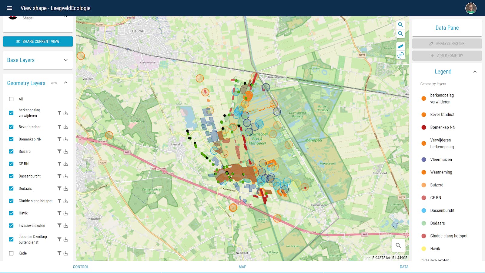
Seeking a way to make things simpler, Wetering decided to try mapping their projects on Ellipsis Drive. Surveyors began uploading their data to a cloud-based map project, collaborating with engineers and each other in real-time, while giving their clients 24/7 access to the project via a simple web link. No energy spent!
Now Wetering can more easily safeguard waterways and habitats with well-placed project features. Surveyors have a better time digitizing and managing their data, and engineers can more easily gain insights into the environment, meanwhile, clients can always feel informed.
Nature is happy and so are Wetering’s professionals and clients!
Liked what you read?

Subscribe to our monthly newsletter to receive the latest blogs, news and updates.
Take the Ellipsis Drive tour
in less than 2 minutes'
- A step-by-step guide on how to activate your geospatial data
- Become familiar with our user-friendly interface & design
- View your data integration options

Related Articles

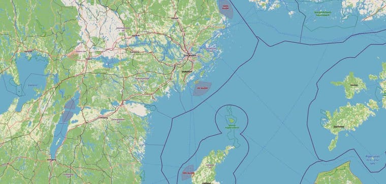
The Waterschapshuis: Drought Monitoring in The Netherlands
Despite the small size of the country, The Netherlands is the second largest exporter of agricultural products in the world. What’s their secret? What makes them tick? Well, it is a combination of ide
2 min read

Build Smart, Not Hard: How Element 84 Guides Clients with Spatial Data Infrastructure
For this episode of the Ellipsis Drive podcast, we sat down with Dan Pilone, CEO of Element 84, a geospatial engineering firm known for guiding organizations through some of their toughest technical
5 min read

EarthDefine: Protecting the Earth's Green Cover
Trees are the single most selfless beings on this planet. They have given so much to this world in so many ways. We literally owe them our lives by breathing in the precious oxygen that they produce.
3 min read