Use Case
Earth Observation
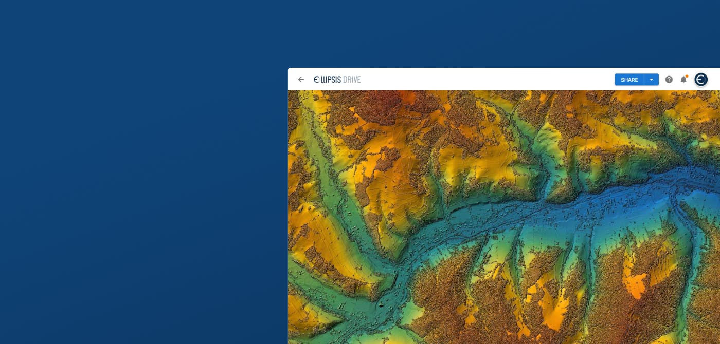
Revealing the Invisible Truth of Earth ft. Wyvern
Contents
Introduction
On the latest episode of The Ellipsis Drive Podcast, our CEO Rosalie van der Maas was joined by Chris Robson, CEO and Co-Founder of Wyvern. Wyvern is a Canadian space data company dedicated to revealing the invisible truths of our planet from space. How do they do that? High-Resolution Hyperspectral Imagery!
Rose and Chris’ conversation revolved around Wyvern’s recent journey and the use of hyperspectral imagery for problem solving. This article highlights some of the key points of that conversation.
Let’s start off by developing a good understanding of the concept of hyperspectral imagery!
Hyperspectral Imagery
Hyperspectral imagery is a type of remote sensing technology that captures a vast number of spectral bands across the electromagnetic spectrum. Each band represents a very specific range of the electromagnetic spectrum, providing a highly detailed “spectral signature” of the object being observed.
In simpler terms, while regular imagery might show the color of the object, hyperspectral imagery shows us how the object interacts with light across many wavelengths, giving us much richer information.
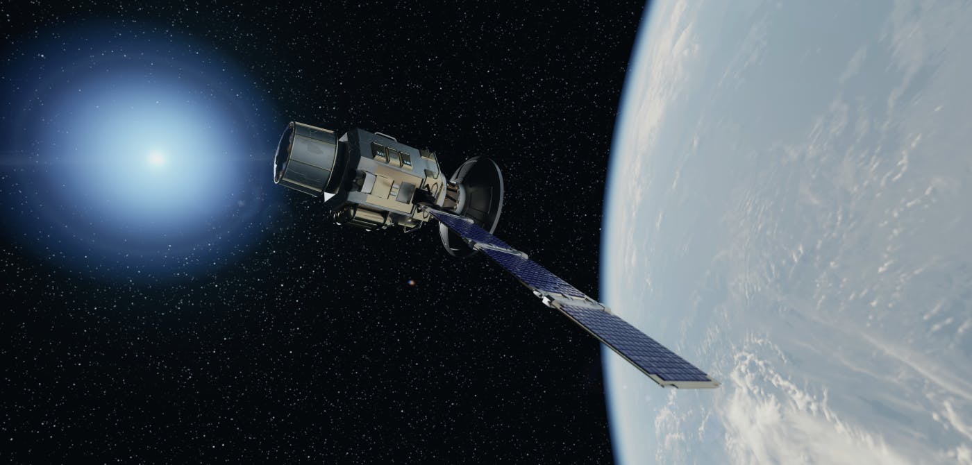
“We started Wyvern back in 2018,” Chris said. “We wanted to do good for our Earth and realized the thing that was missing in the market is hyperspectral imagery. We felt like we could have a positive impact on our planet by getting this imaging modality up in space.”
Today, Wyvern is living up to their founding mission by providing the highest resolution commercial hyperspectral images from 3 satellites in space. Below are some of the benefits of hyperspectral imagery in comparison to regular satellite imagery –
Precise Identification – High resolution hyperspectral imagery allows for more precise identification and classification of materials. For example, hyperspectral sensors can differentiate between various types of vegetation, minerals, or water bodies, even when they appear similar in regular imagery.
Environmental Monitoring – With hyperspectral data you can detect pollutants, track chemical changes, trace gases or monitor land degradation at a much finer scale.
Change Detection – Hyperspectral data is great for long-term environmental monitoring and can provide early warning signals for changes in land cover, agricultural production, or water quality.
Obstacles of Working with Hyperspectral Imagery
Data Storage and Management — “Our images are 5 to 10 times heavier than its multispectral counterparts. Managing and distributing that can be a tough task.” said Chris. Managing such heavy data loads requires a dedicated spatial infrastructure.
Data Distribution — Due to the large file sizes and complex data formats (e.g., ENVI, HDF, or GeoTIFF with numerous bands), hyperspectral data can be difficult to share across platforms or with collaborators. Some systems might not be equipped to handle hyperspectral data efficiently, creating barriers to collaboration, use and data sharing.
Data Processing — Hyperspectral data consists of high-dimensional data (many bands per pixel), which can be difficult to process and analyze. The volume of data makes it computationally expensive to extract useful information, and traditional image analysis techniques often don't work well with hyperspectral data.
The need to learn — “Many of our customers are not yet aware of everything that our data can do.” said Chris. “There’s tremendous potential, but that also means a lot of testing and validation is required to unlock this.”
Future Outlook
2025 is going to be a big year for hyperspectral imagery and for Wyvern.
“We’ve launched the Open Data Program on Ellipsis Drive,” said Chris. “Customers will have open access to hyperspectral datasets that have multiple revisits that will help with change detection. It would be a big game changer for governments, academics or even new start ups that want to test the hyperspectral functionality. We’ve also got our fourth and fifth satellite on the way this year. They utilize a much larger satellite bus and with a larger downlink so that should improve our imaging capacity.”
The conversation between Rosalie and Chris highlighted the immense potential of hyperspectral imagery in addressing global challenges. Wyvern is pushing the boundaries of space-based remote sensing by offering high-resolution hyperspectral data that can identify materials, monitor environmental changes, and detect shifts over time like none before. However, as Robson pointed out, the challenges of data storage, distribution, processing, and expertise remain significant hurdles. Despite these obstacles, Wyvern is paving the way for broader accessibility to hyperspectral data through initiatives like the Open Data Program, promising to unlock new opportunities for industry, government, researchers, and innovators alike. With advancements in satellite technology on the horizon, the future of hyperspectral imagery is set to revolutionize the way we understand and protect our planet.
We’d like to thank Chris for sharing Wyvern’s journey with us. We’re confident that voicing our unique stories creates a ripple effect of growth within the industry and reminds us of our part in each other’s journey. Be sure to watch the full episode here.
Until next time!
Liked what you read?

Subscribe to our monthly newsletter to receive the latest blogs, news and updates.
Take the Ellipsis Drive tour
in less than 2 minutes'
- A step-by-step guide on how to activate your geospatial data
- Become familiar with our user-friendly interface & design
- View your data integration options

Related Articles
Infrastructure for a Multi-Cloud Environment
In our previous pieces on data location and sovereignty in Earth Observation (EO) ecosystems, we explored a question that has always existed, but has grown in priority: where is your geospatial data
5 min read
Building a Sovereign Earth Observation Infrastructure in Europe
In recent years, Europe’s conversation around data sovereignty has evolved. The point of discussion is not just about where information is hosted, but rather about which jurisdictions govern the enti
5 min read
Connecting Earth Observation Datasets to End Users Ft. NomadIQ
“From established basic research and government land management to growing demand in carbon markets, hazard insurance, and even recreational apps, there's a rapidly developing market for satellite-ba
5 min read