GIS
The Use of GIS Technology in the 4 Phases of Disaster Management
Natural disasters are an inherent threat to any community. When a region is geographically vulnerable to floods or earthquakes, there must be necessary efforts to reinforce the safety and durability of nearby structures. This is where Geographic Information Systems (GIS) comes in.
But before we understand the use of GIS, let's list down the different phases of disaster management -
1. Mitigation - This involves taking steps to avoid emergencies in the future
2. Preparedness - Carrying out necessary tasks to be ready in case an emergency occurs
3. Response - This involves action taken to provide timely support to affected parties
4. Recovery - This phase is all about the aftermath and how efforts that need to be taken for the rebuild
Contents
Using GIS technology to Improve Disaster Management
Most people view technological advancements as effective means to raise our lifestyles to more comfortable heights. Although most people view technological benefits as luxurious and contemporary needs, technology can also supplement the most basic need of human beings: safety.
GIS software allows urban planners to collaborate more efficiently and identify potential approaches to Comprehensive Emergency Management (CEM). Through CEM, it's possible to have better projection models to assess spatial data to prepare for natural calamities. By collaborating with cloud GIS softwares, severe casualties and damage caused by natural disasters can be avoided.
Let's discuss some ways in which GIS technology benefits the above 4 phases of disaster management.
1. Mitigation Phase - Development of Mitigation Strategies
Mitigation strategies are necessary to prevent loss of life and property damages during natural disasters. This is why the Federal Emergency Management Agency (FEMA) coordinates with local governments, states, and even native tribes regarding short and long-term disaster management plans.
For example, by utilizing GIS software, it's possible to present flood hazard mapping updates to create a Risk Map program. These updated and dynamic maps can identify potential flood risks in different regions. Since it's possible to update the map as environmental conditions change, FEMA can publicly share these maps to reinforce up-to-date and effective emergency management strategies.
The USACE (US Army Corps of Engineers) also uses GIS software to communicate real-time information with different agencies and collaborate on time-sensitive missions. By sharing digital overlays of hydraulic models, consequences models, and flood inundation mapping, the affiliated institutions are aware of a specific area's vulnerability to disaster. GIS provides a bridge to map different sciences and disciplines to work towards the common goal of saving lives and preventing harm to structures.
2. Preparedness Phase - Forecasting and Pattern Detection
Again, using GIS technology, relevant authorities can predict the areas that are likely to be hit the most. Using geodata of various time periods, a change analysis and forecasting of an area can be done. This will provide authorities the insight as to where to focus manpower and resources when an emergency occurs.
For example, in case of wildfires, authorities can analyse an area over time to identify signs such as deforestation patterns. According to this information, resources can be managed to provide emergency support in a prioritized and coordinated manner.
3. Response - Information Dissemination
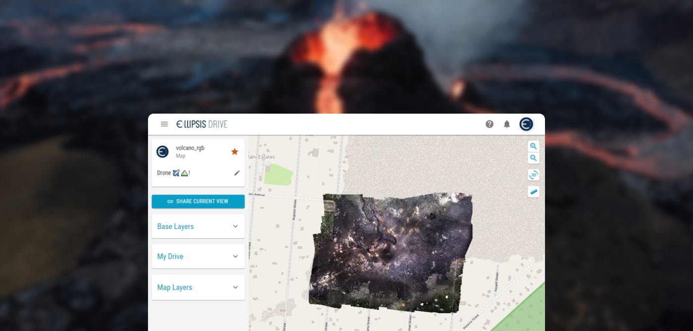
With technology continuously progressing, the accessibility of crowdsourced geographic data makes it easier to supplement authoritative sources. The time sensitivity of the issue is what truly brings out the value of GIS tools. Geodata sharing drives such as Ellipsis Drive ensure that location specific information can be easily shared with local disaster management teams using GIS tools.
In such scenario, time is the real asset. The valuable seconds saved can be difference between life and death.
4. Recovery - Prioritization Lists
Often times, after a disaster has occurred, the areas affected are out of bounds. It is impossible to get ground realities. This affects the decision making process as a result.
By using GIS tools and location intelligence, disaster management teams can create a structured prioritization list for recovery and rebuilding of areas as per importance and seriousness of impact.
Using Cloud GIS Software to Prevent Disasters
It's a common misconception that digital and tangible innovations can't work hand-in-hand. For example, most modern cars are equipped with smart sensors and prediction systems for better and safer practical use. This blending of software and hardware improves user experiences drastically. By interpreting and analysing GIS data, urban planners, commercial property investors, and even small residential communities can prepare for natural disasters' challenges.
With Ellipsis Drive, we provide professionals with the proper platform for sharing data to ensure the safety of different industry projects. Through our convenient digital tools, both technical and non-technical users can view, edit, and interpret geospatial data to craft more effective disaster response procedures. Create a free account now and learn how easy it is to simulate spatial data!
Liked what you read?

Subscribe to our monthly newsletter to receive the latest blogs, news and updates.
Take the Ellipsis Drive tour
in less than 2 minutes'
- A step-by-step guide on how to activate your geospatial data
- Become familiar with our user-friendly interface & design
- View your data integration options

Related Articles

Why AI is Reshaping Spatial Data Infrastructure
Artificial Intelligence is rapidly reshaping expectations around geospatial workflows. Organizations no longer want static outputs or slow analytics cycles. They want near real-time insights, scalabl
5 min read

Navigating the Cloud Spectrum: From Generalist to Specialized, and the Perfect Middle Ground
The modern cloud ecosystem spans a wide spectrum of offerings, from general-purpose infrastructure to highly specialized platforms built for domain-specific tasks. At one end, generalist clouds provi
5 min read

Unlocking the Potential of Data: Comparing Tabular and Non-Tabular Protocols
The world of data is a complex landscape and each year, the complexity of that landscape grows exponentially. A combination of new data capturing technology, data processing technology and demands fo
6 min read