GIS
Remote Sensing of the Ocean
Remote sensing is increasingly being used to monitor the state of the ocean and provide early warnings for applications such as marine pollution and the spread of harmful algal blooms.
Contents
The Importance of Remote Sensing the Ocean
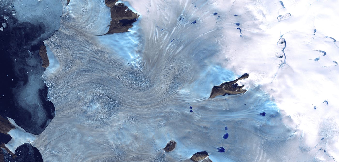
The ocean covers more than 70% of the Earth’s surface and provides a vital source of oxygen, food, and jobs for millions of people. However, pollution, fishing, and climate change are causing severe damage to the health of the world’s oceans. Early monitoring and understanding of the state of the ocean can therefore help to make informed decisions about how to protect this valuable resource.
The challenge for marine researchers is to accurately measure the health of the ocean from the surface. Using satellite sensors such as the Landsat series and MODIS, along with radar and shipborne sensors, scientists are beginning to combine existing technologies with advanced geospatial analysis methods to monitor the ocean and provide marine managers with critical insight into the state of the marine environment. This is helping to provide an early warning of changes in the marine environment and save lives, create new industries, and preserve ecosystems.
What are the Ways to Remote-Sense the Ocean?
There are many ways to monitor the ocean remotely, each with its own set of benefits and drawbacks. However, they all fall into two main categories: passive and active.
Passive sensing involves gathering information from the ocean by recording the radiation that passes through it. This information can then be processed using onboard computers.
Active sensing is where energy is beamed from satellites to the ocean and then derived from the returned signal.
Remote sensing is also possible on a mix of land and water platforms.
Active sensing for surface ocean state information (temperature, salinity, currents, winds) is typically limited to collecting observations at a single point in space. In contrast, passive sensing for ocean color (e.g. chlorophyll, phycocyanin, pigment) or aerosol optical depth is collected from many locations simultaneously and can be processed by an onboard computer.
However, passive sensing requires the satellite to view the ocean surface, which typically occurs during the day, so observations are limited to a narrow time window.
What is Oceanography?
Oceanography is a discipline of marine science that involves studying the physical, chemical, and biological processes and interactions within the ocean. It is a cross-disciplinary and multifaceted subject that deals with physics, chemistry, biology, and geology. Oceanographers study ocean depths, temperatures, currents, waves, shorelines, water pressure, water chemistry and the life within the water.
Oceanography is essential if we are to protect our fragile oceans. All of us on this planet must understand our oceans, their impact, and what we can do to protect them.
Remote Sensing: A Breakthrough Tool for Our Oceans
These modern tools for the remote sensing of the ocean are only starting now to be applied to ocean mapping. Remote sensing can help researchers to identify the changes and determine the causes, spotting problems early and allowing more time to make informed decisions. Over time, it also offers the potential to monitor responses to protection measures and monitor marine environments' recovery.
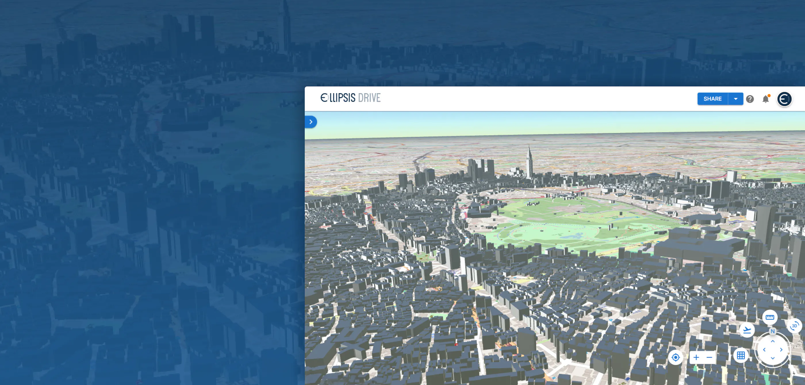
Ellipsis Drive provides geospatial content for the remote sensing environment. We help solidify your success as a spatial data user or producer. Get started!
Liked what you read?

Subscribe to our monthly newsletter to receive the latest blogs, news and updates.
Take the Ellipsis Drive tour
in less than 2 minutes'
- A step-by-step guide on how to activate your geospatial data
- Become familiar with our user-friendly interface & design
- View your data integration options

Related Articles
Are Today's Spatial Data Infrastructures Ready for 3D?
For decades, geospatial workflows have revolved around two primary data types: raster and vector. Together, they have formed the foundation for everything from environmental monitoring and infrastruc
6 min read

Why AI is Reshaping Spatial Data Infrastructure
Artificial Intelligence is rapidly reshaping expectations around geospatial workflows. Organizations no longer want static outputs or slow analytics cycles. They want near real-time insights, scalabl
5 min read

Navigating the Cloud Spectrum: From Generalist to Specialized, and the Perfect Middle Ground
The modern cloud ecosystem spans a wide spectrum of offerings, from general-purpose infrastructure to highly specialized platforms built for domain-specific tasks. At one end, generalist clouds provi
5 min read