GIS
Remote Sensing Technology: A Quick Guide
Contents
What is remote sensing?
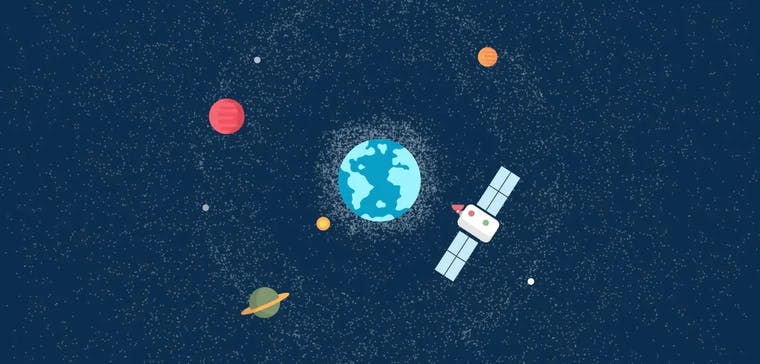
How does remote sensing work really? Well, as the name suggests, remote sensing means tracking and capturing data on the Earth’s surface remotely. It is typically done by the various Earth Observation satellites around our planet's orbit. The satellites capture the reflection of the sun from the Earth’s surface to create high resolution satellite imagery.
Remote sensing is turning out to be one of the best ways of data collection, primarily because it can be scaled to the entire Earth, giving you a bird’s eye view of things. Remote sensing methods involve geodata collection via satellites and aircrafts using radars and sensors. Remote sensing of the ocean is also possible, submarines collect data under the surface of the ocean via the SONAR concept.
Why is remote sensing important?
The importance of remote sensing is in the name itself, ‘remote’. The world is becoming a closely knit community. Decision makers from one part of the world are now interested and affected by things occurring in another part of the world. With the help of satellite imagery it is possible to surveillance the entire Earth in one go. There is no need to be manually present at the point of data creation.
Remote sensing of the environment is also growing in popularity and relevance. Some of the world’s terrains are highly inaccessible, and yet extremely crucial such as the North and South poles. Remote sensing has shed new light on these landscapes and has allowed relevant stakeholders to act upon the new found information.
The other aspect that makes remote sensing such a mouth watering prospect is the fact that it has applications in a plethora of fields. From everyday life applications to making strategic business decisions, remote sensing can be seen as a gamechanger on many different fronts.
Satellogic is one of the organizations that provides remotely sensed images to environmentalists for conservation and preservation purposes.
Who are the stakeholders of remote sensing?
Everyone! Yes, that’s right! The application is so versatile and simple that it has integrated deeply into almost every person’s life. GPS is one of the many applications of remote sensing which a layman uses.
But don’t get us wrong, this is just the tip of the iceberg. Remote sensing has some pretty powerful and technical applications. We all know that knowledge is power, well location intelligence or geodata is just that, knowledge. It is helping organizations and businesses make well informed decisions that is propelling them in the right direction.
What is remote sensing used for and what are its applications?
Remote sensing has some really useful applications that have had a profound impact on the way organizations conduct business and approach problems. Remote sensing finds use in the fields of environment monitoring, disaster management, agriculture and mapping. The list goes on. We would like to discuss some of the common application in more detail -
Surveillance – It has helped in creating real time maps for easy surveillance. Remote sensing allows covering a large area of land very quickly as a result of the remote nature of the technology. Governments and businesses use it for monitoring construction projects, improving roadways, tax administration and lot more 🗺️
Environment preservation – Remote sensing plays a crucial role in landscape monitoring. Given the rate at which natural resources are being exploited, remote sensing of the environment has to be one of the most important application of the technology as environmentalists can better manage and utilize their resources and make a worthwhile impact in the fight for environment preservation ☘️
Agriculture – Remote sensing has definitely made agriculture a different ball game altogether. Use of professional drones for crop monitoring, irrigation systems and resource management are some of the ways in which agriculture is being revolutionized as we speak ☭
Disaster management – Protecting human lives and infrastructure will also be of utmost importance. With increasing uncertainty in which nature behaves as a result of human interventions, the role of remote sensing for managing natural disasters has become more relevant. The technology is used in identifying forest fires, floods and storm, especially by rescue teams in the aftermath of these events.
GIS and Remote Sensing: 2 sides of the same coin
While the raw geodata gathered via remote sensing sounds cool and exciting, in itself it is not that useful. The real power of this data is derived when used in conjunction with Geographic Information System (GIS). GIS are powerful software tools that convert raw geodata into information that allows GIS scientists and analysts to draw insights. The raw data is fed into the software as input files and the system can integrate information of all kinds to deduce useful patterns and insights via its algorithms.
GIS and remote sensing can be considered to be 2 sides of the same coin, 1 not complete without the other. The same goes for the people working behind these systems. Data producers and data analysts rely on each other to get the most out of each other’s role.
To maximize the use of these new technologies, a solution that integrates and allows collaboration on geospatial data is essential. Ellipsis Drive's first-of-its-kind spatial drive is the ideal fit for such use cases of remote sensing data. Finally, collaboration and communication is key!
Liked what you read?

Subscribe to our monthly newsletter to receive the latest blogs, news and updates.
Take the Ellipsis Drive tour
in less than 2 minutes'
- A step-by-step guide on how to activate your geospatial data
- Become familiar with our user-friendly interface & design
- View your data integration options

Related Articles

Why AI is Reshaping Spatial Data Infrastructure
Artificial Intelligence is rapidly reshaping expectations around geospatial workflows. Organizations no longer want static outputs or slow analytics cycles. They want near real-time insights, scalabl
5 min read

Navigating the Cloud Spectrum: From Generalist to Specialized, and the Perfect Middle Ground
The modern cloud ecosystem spans a wide spectrum of offerings, from general-purpose infrastructure to highly specialized platforms built for domain-specific tasks. At one end, generalist clouds provi
5 min read

Unlocking the Potential of Data: Comparing Tabular and Non-Tabular Protocols
The world of data is a complex landscape and each year, the complexity of that landscape grows exponentially. A combination of new data capturing technology, data processing technology and demands fo
6 min read