Earth Observation
Vultus: Precision Agriculture tools using EO Data

Contents
Introduction
The Earth’s population continues to grow exponentially, and the pressure on resources to provide for this crowd grows with it. The resources at our disposal are limited and methods that optimize their efficient usage are of the utmost importance.
In this article we will focus on resources that support agriculture, such as water, soil and fertilizer, and how Vultus, a Swedish company, is helping farmers and agriculturists to optimize their yield using NewSpace technology.
The Current Scenario
The majority of farm owners are still relying on age-old farming techniques - old irrigation, harvesting techniques, soil usage to name a few. There is nothing much wrong with those in isolation, but the yields it creates are just not able to keep up with rising demands.
Traditional farming techniques can waste a lot of resources or rather sub-optimized usage of resources. Put simply: too much of one thing and too little of another results in both wasted resources and lower yields. Not an optimal situation! Not for the farmer, not for the environment and not for the consumer.
Precision agriculture is a practice that is growing in popularity amongst farmers, agriculturists and rural engineers. Stakeholders are soon realizing that embracing precision agriculture is not as complicated as it sounds.

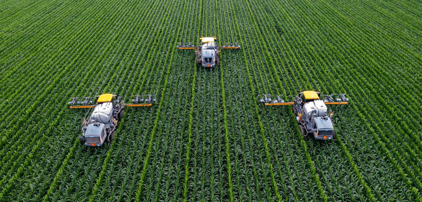
Precision agriculture is an approach that marries remote sensing technology (Drones, Earth Observation satellite imagery etc.), with local sensing and traditional agricultural practices. By monitoring the entire farm, farmers are able to make smarter decisions which in turn leads to greater yields.
Vultus - Precision Agriculture tools using EO data
Vultus started out as a company that provides drone insights of crop health. However with scalability being an issue with drones, they slowly migrated towards the use of EO satellites.
EO satellites help identify the spectral signatures of the crops in the field .
Using these remote technology methods, they have managed to create monitoring and analysis dashboards that allow making timely interventions whenever and wherever necessary.
Amongst the many facets of agriculture, Vultus specializes in the intelligence of fertilizers and helps save up to 30% fertilizer costs. The trick is too use it only where and when really necessary. This results in less cost, less waste and less environmental impact.
Their flagship product, Fertilizer Ninja, analyzes the soil supply of nitrogen and crop requirements based on historical data (data of 7 years is collected and stored), and is then able to make recommendations based on these factors.
Their dashboards are also used to assess crop health and report on time sensitive issues so they can be addressed and nipped in the bud (quite literally).
Using infrared light, water stress levels are also detected to measure the plant moisture and heat to determine the water status and stress levels.
Vultus partners with Ellipsis Drive
The general workflow of Vultus involves the acquisition of remotely sensed data about farm land, organizing this data and feeding it into their processing pipeline to create value added data products, which they then pass onto developers (Vultus’s client base). These developers use these nicely prepared data products to build applications and dashboards that provide farmers and agronomists with actionable insights.
Vultus decided to partner with Ellipsis Drive to improve their spatial data management and the level of service provided to the developers they support. Using ED, Vultus is able to quickly provide access to (big) spatial data files as an online service that can be used via multitude of packages and can render into their clients’ apps with a single line of code and at high performance. This ensures seamless access to data in a way that fits their programming needs and preferences.
Final Thoughts
The importance of agriculture in this day and age should not be underestimated. On the same note, the importance of companies such as Vultus that are enabling precision agriculture should not be underestimated either.
Vultus aims to make the use of technology and smart decision making in agriculture a common practice. Ellipsis Drive is glad to support this endeavor.
Liked what you read?

Subscribe to our monthly newsletter to receive the latest blogs, news and updates.
Take the Ellipsis Drive tour
in less than 2 minutes'
- A step-by-step guide on how to activate your geospatial data
- Become familiar with our user-friendly interface & design
- View your data integration options

Related Articles

Connecting Earth Observation Datasets to End Users Ft. NomadIQ
“From established basic research and government land management to growing demand in carbon markets, hazard insurance, and even recreational apps, there's a rapidly developing market for satellite-ba
5 min read

A Stable Infrastructure for Radar derived 3D Data Visualization
In the latest episode of The Ellipsis Drive Podcast, our CEO Rosalie van der Maas hosted jC Clark, a professional with over 20 years of experience in Insurance and Earth Observation (EO) entrepreneur
7 min read

Satellite-as-a-Service (Part 2): The New 'SaaS' in town
So… where were we? Ohh right, somewhere in space! Jokes aside, in the previous installment of this article series, we discussed the evolution of the SmallSatellite industry. We have established the sh
4 min read