GIS
What you need to know about UAVs and GIS Management
As integral pillars of numerous industries, Geospatial Information Systems (GIS) provide various applications to businesses worldwide. This technology is being merged with UAVs (Unmanned Aerial Vehicles) to create some useful applications. UAV drones are used in agriculture, planning, construction, real estate, conservation, and public safety. By storing and processing geodata, these systems provide information that businesses can use to plan and develop their projects.
Contents
A Brief Overview of Geospatial Information Systems
The function of GIS softwares is to analyse geodata and other relevant attributes to provide meaningful insights that businesses can use. GIS experts can store this information in a geo database for future use. Although this technology has powerful capabilities, it can only be as good as the data it collects. It relies on other mechanisms to capture and feed information that the system can use.
Remote data capture technologies are important components of remote sensing. Technologies such as GPS, coordinate geometry (COGO), LiDAR, and satellite imagery are some of the most important ways in which researchers can gather information for GIS. While these are reliable methods, they still have limitations. They require expensive equipments and trained aircraft operators to conduct remote sensing, and these are enough to hinder most companies from gathering the data they need to make full use of their GIS. Fortunately, UAVs have become increasingly advanced and reliable in recent years.
How do UAVs improve GIS Technology?
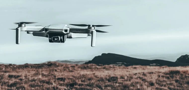
Professional UAVs have various uses for businesses. They have given rise to the concept of UAV surveying. UAVs can conduct aerial surveys of large areas and provide remotely sensed images to businesses to help them with their decision making. this has reduced the dependency on traditional aircrafts. UAV aerial mapping has become the go-to method for capturing photos and videos for marketing and other relevant purposes.
The application and benefits of UAVs to the GIS industry is unbelievable. Some drones have automated flying abilities and remarkable performance, they’ve become promising autonomous data-collecting machines that work hand-in-hand with GIS technology. They provide a wealth of real-time mapping information of which geospatial information professionals can make full use.
A significant advantage of these devices is that even the most expensive drones only costs a fraction of the investment made in a small aircraft and a trained pilot. UAVs are also more nimble and lightweight, reducing the risk of damaging properties and causing human injuries.
Disadvantages of UAV
Although there’s no denying that their versatility and affordability makes them a powerhouse in the field, they also have their unique set of challenges. For one, their small and lightweight bodies render them incapable of carrying large payloads.
Another disadvantage to using drones is the limited flight time; they require batteries to operate, only allowing them to fly and record data for as long as their batteries last. Larger and more long-lasting batteries can also add to their payload, making them less flexible.
Data overload is also a significant problem for UAVs because larger amounts of data will require stronger software capabilities, which can be challenging to overcome. There are also some regulatory restrictions that can be a significant hurdle for drone use, as there are certain laws that give strict guidelines for the commercial use of UAVs.
Optimizing your GeoData
GIS continues to disrupt multiple industries. More and more businesses are looking for ways to integrate this technology into their infrastructures. Professional UAV drones have made it easy for stakeholders to collect, store, and analyze geodata for less. These two technologies now work together to benefit thousands of businesses, and they will likely continue to do so.
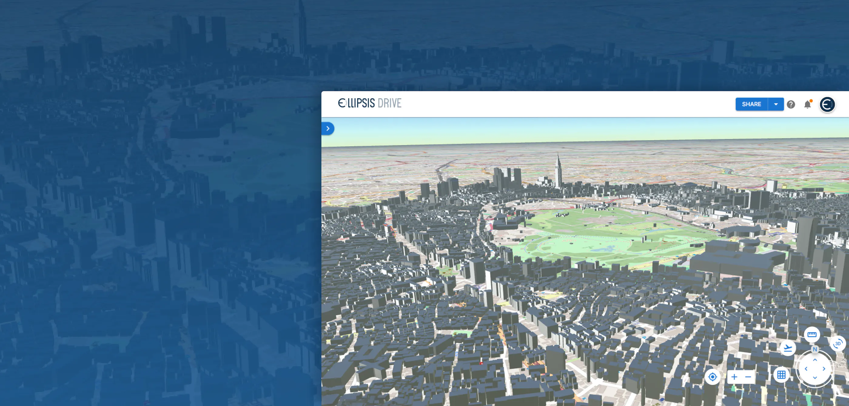
If you’re looking for cloud GIS software that will help you share, sell, and collaborate your geodata, look no further than Ellipsis Drive. Our software is optimized in enabling you to make full use of geospatial information, allowing your business to soar to new heights. Learn how we can help—contact us today!
Liked what you read?

Subscribe to our monthly newsletter to receive the latest blogs, news and updates.
Take the Ellipsis Drive tour
in less than 2 minutes'
- A step-by-step guide on how to activate your geospatial data
- Become familiar with our user-friendly interface & design
- View your data integration options

Related Articles
Are Today's Spatial Data Infrastructures Ready for 3D?
For decades, geospatial workflows have revolved around two primary data types: raster and vector. Together, they have formed the foundation for everything from environmental monitoring and infrastruc
6 min read

Why AI is Reshaping Spatial Data Infrastructure
Artificial Intelligence is rapidly reshaping expectations around geospatial workflows. Organizations no longer want static outputs or slow analytics cycles. They want near real-time insights, scalabl
5 min read

Navigating the Cloud Spectrum: From Generalist to Specialized, and the Perfect Middle Ground
The modern cloud ecosystem spans a wide spectrum of offerings, from general-purpose infrastructure to highly specialized platforms built for domain-specific tasks. At one end, generalist clouds provi
5 min read