GIS
Drones in Agriculture | The Growth of Precision Agriculture
Contents
The Evolution of Agriculture
There was a time when agriculture was only carried out near rivers and other water bodies. Farmers were at the mercy of pests and weather conditions. But as technology evolved, smart irrigation systems were deployed, fertilizers and pesticides were invented (and someone thought of making a scarecrow!) and agriculture transcended to the next level. Don’t get us wrong, we’re still at the mercy of mother nature, but at least we have improved our probability for success and that’s what it is all about.
Imagine a combination of one of the world’s oldest occupations, farming, combined with one of the world's latest technologies. What a mind blowing combination that would be! Well, the good part is that you don’t have to imagine it, it’s already a part of today’s world. However, only a minority of farmers in the world are aware of this technology, and even fewer have embraced it to optimize their agricultural yield. That’s unfortunate because with a steeply increasing demand for food, a farmer’s occupation has never been under more pressure in the history of humankind.
So what is the next big thing in agriculture you ask? Drone technology in agriculture!
Drones in Agriculture
Drones and agriculture form an amazing partnership together. To be honest, it would be unfair to say that agriculture drones are the “next” big thing. Simply because it is already here. It has been here for quite some time, the only issue is that of awareness and adoption. The ones that have adopted it are reaping the benefits, but the adoption rate itself is the problem.
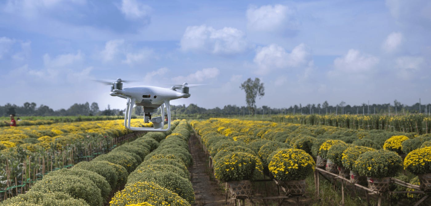
The “Drone” or Unmanned Aerial Vehicles (UAVs) are small and lightweight devices that are fitted with a camera or sensor to easily hover around large farms to give you an aerial snapshot of the farm. In terms of manoeuvrability and resolution, they are better positioned than satellites and aircrafts for detailed monitoring (though the usefulness of satellites and aircraft in agriculture should not be underestimated! They bring along their own set of advantages that we will dive into in a later publication).
These drones can cover large farms in a matter of hours to keep a farmer well informed about any issues that may be happening on their farm.
Farmers, agronomists, rural engineers and businesses alike can benefit so much from understanding the farm to fork journey of crops and make timely interventions wherever needed.
Drone technology has given rise to precision agriculture, which is the accurate and sustainable use of agricultural resources to optimize yield and gain efficiencies all around.
Precision Agriculture - A Sustainable & Scientific Approach to Agriculture
Precision agriculture is an approach that utilizes modern remote sensing technology and sensors to create high spatial and temporal resolution views of agricultural assets that can be monitored and analysed to improve output and create a sustainable yield. Consider it to be a form of micromanagement of crops, farms and all things agricultural.
Precision agriculture is a 360 degree farm management approach. Right place at the right time in the right way. That would be a good way to define precision agriculture.
How does Precision Agriculture work?
Precision agriculture relies on remotely sensed high resolution imagery. As the name suggests, the images are remotely obtained from sources such as satellites or drones and other UAVs.
These devices are able to capture detailed and accurate images of the entire farm which can then be analysed by the farm or agronomist to make timely interventions to create a highly efficient output.
The short answer for this question is in the name itself - Precision.
Precision and an eye for detail is what makes precision agriculture tick. Agricultural inputs are carefully scrutinized and used with utmost precision which lead to exponential growth in overall output.
An approach like this would have been impossible to implement manually. But the remotely sensed images provide an overall view of the farm to the farmer. The farmer can then use this information to deploy his/her resources with high efficiency.
The process of Precision Agriculture can be summed up into the following 4 steps -
- Observation - Farmer deploys drones or satellite imagery to a live map of their farm
- Diagnostic - Farmer identifies an issue in a particular section of the farm by monitoring the spatial view of their farm
- Decision - Farmer decides that a corrective action is needed. (for eg. an unhealthy crop species needs to be removed to prevent spread of disease)
- Implementation - Farmer deploys resources at the exact site to address the issue
Precision agriculture is a sustainable model and is essential for the development of a steady flow of food while keeping the environment in mind.
Precision Agriculture Equipment
Precision farming involves a highly scientific approach towards farming.
A lot goes behind a crop’s health. There are countless factors that need to be considered right from the seedling stage to the harvest period. Information needs to be collected such as soil content, presence of pests and weed, irrigation systems. And this is just the beginning.
To have a fully functional precision agriculture setup, the following tools and technology would be essential -
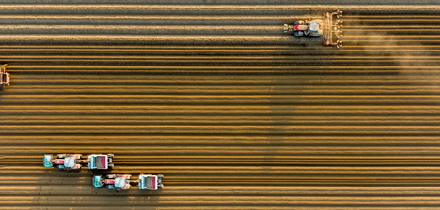
- Auto-Guidance Equipment - For deploying systems such as irrigation and pesticides over large stretches of land
- Variable Rate Technology - For modifying and modulating the rate of dispensing chemicals and water as per requirement
- Remote Sensors - Drones or satellite images used to capture farm images
- GIS Software - A powerful GIS software that can analyse the spatial data and create useful insights for smart decision making
Benefits and Applications of Drones in Agriculture
Drones are like the eyes of the farmer (or an agronomist) in the sky. It finds an application in every stage of the crop’s life cycle, from start to end. Below are some of the key uses of drones in agriculture-
Crop monitoring - Crops can be monitored from a bird’s eye view for any discoloration, pest attacks or to identify and clear the bad batches before they ruin the whole field.
Analysing Trends - By taking a time lapse of the entire farm, you can monitor the entire journey of the harvest and make crucial notes of the activity during the different stages to improve future yields.
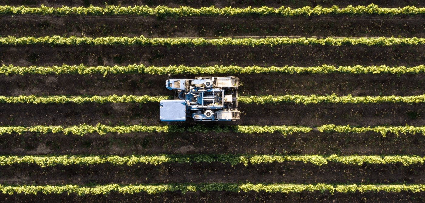
Irrigation & Soil sampling - Existing and new irrigation systems can be thoroughly tested to check efficacy. Similarly, soil samples can be easily tested to check for quality.
Crop scouting - Doing comprehensive crop counts and identifying early signs of diseases and stress in crops that need immediate attention.
The common theme in all the above is that good information allows for an optimal usage of resources. In the current day and age, it is extremely important that limited resources (including land and water) be used efficiently and that chemicals are applied as little as possible. Not only to improve the financial output, but also to reduce the environmental impact of these activities.
Precision Agriculture Solutions
With the emergence of the concept of Precision Agriculture, there has been a spike in the number of solution providers as well for this sustainable approach to farming.
GeoSysis an organization that allows you to improve operational efficiencies using scalable smart farming solutions. By using powerful satellite and weather analytics softwares, they are able to help agronomists and farmers with assessing the quality of their farms, expected output and ways to improve, crop recommendations, inventory management, change detection, budget allocation and a lot more.
PlanetWatchersis a guardian angel of the average farmer. As natural disasters and storms become more frequent, the damage caused to crops and farmers is catastrophic. The new space startup is able to precisely assess damage to crops using SAR technology. PlanetWatchers relays this information to crop insurers. This ensures that farmers are compensated justly and there are no illegal claims. A unique application of satellite data which definitely provides a sophisticated approach to addressing crop damages.
Conclusion
Agriculture drones and the concept of Precision Agriculture couldn’t have peaked at a better time with ever increasing number of mouths to feed in the world. It has already started revolutionizing current agricultural practices. It has made farmers and everyone involved in the agricultural space proactive. It has given agriculture a very scientific and analytical approach which is helping to cut costs, improve efficiency, increase profitability as well as sustainability.
There is an old saying, the earthworm is the farmer’s best friend. Now, we don't want to go about changing old sayings, but drones are definitely a close second!
At Ellipsis Drive, we provide a drive-like solution that enables and puts concepts such as Precision Agriculture into action. With the simple plug & play nature of our solution, images and analytics captured by drones can be easily shared with stakeholders of different levels of technical knowhow. Our platform allows real time collaboration and simultaneous access, meaning faster turnaround of actionable insights, and well, time is money!
Click here to learn more about Ellipsis Drive and become a part of our ever growing community!
Liked what you read?

Subscribe to our monthly newsletter to receive the latest blogs, news and updates.
Take the Ellipsis Drive tour
in less than 2 minutes'
- A step-by-step guide on how to activate your geospatial data
- Become familiar with our user-friendly interface & design
- View your data integration options

Related Articles

Navigating the Cloud Spectrum: From Generalist to Specialized, and the Perfect Middle Ground
The modern cloud ecosystem spans a wide spectrum of offerings, from general-purpose infrastructure to highly specialized platforms built for domain-specific tasks. At one end, generalist clouds provi
5 min read

Unlocking the Potential of Data: Comparing Tabular and Non-Tabular Protocols
The world of data is a complex landscape and each year, the complexity of that landscape grows exponentially. A combination of new data capturing technology, data processing technology and demands fo
6 min read
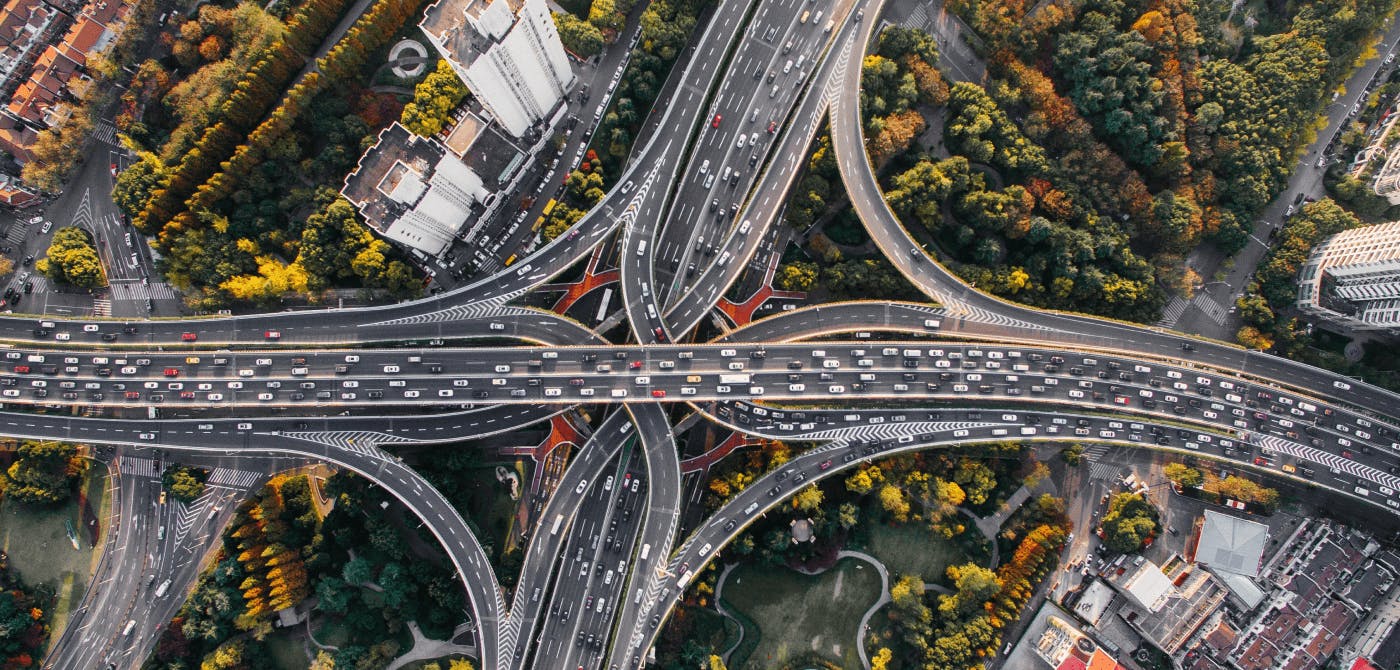
Understanding the importance of GIS in Urban Planning
Cities are robust places filled with life, but before it becomes a cosmopolitan paradise, plenty of ever-evolving complexities are happening behind the scenes to bridge the gaps and create an area spa
3 min read