Use Case
Adding flexibility to the NSO data portal
Contents
Introduction
In today’s use case we are going to tell you how the Netherlands’ space agency - The Netherlands Space Office (NSO) - has made high-resolution satellite images available for all its citizens and organizations. GeoServe BV, a private company based out of Marknesse has made this possible thus far through its long standing collaboration with NSO. Ellipsis Drive has entered this successful arrangement to provide NSO’s Satellite Data Portal the flexibility that it needed to become more interactive for its user base.
About NSO
The NSO implements Dutch space policies and advises on its preparation. With the Satellite Data Portal, the NSO gives companies, individuals and organizations in the Netherlands free access to high-resolution satellite images.
GeoServe’s Value Proposition
Geoserve has been a trusted partner of NSO in its journey. The Marknesse based company was responsible for hosting the bulk of satellite data that the NSO had to offer on their servers which have been broadcasted to companies, organizations and individuals alike via the Satellite Data Portal to date.
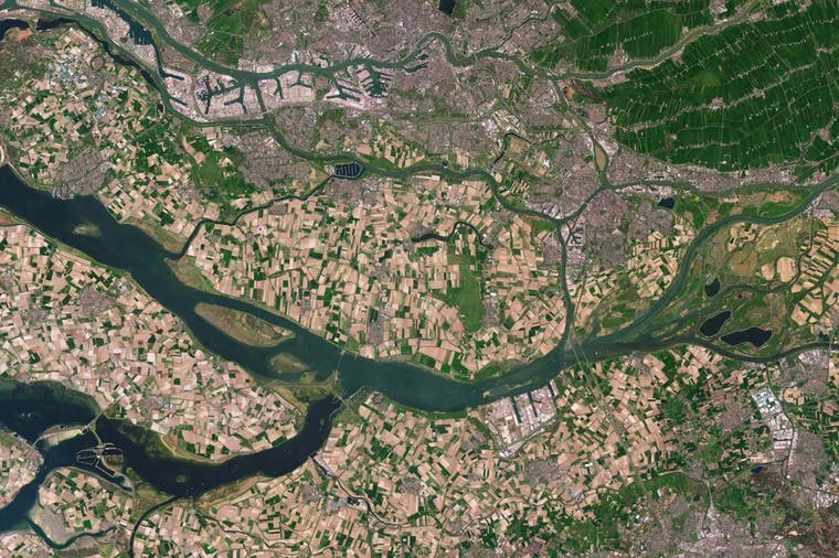
Here access is provided to pre-processed satellite data of the Netherlands: a generic facility so that (high-resolution optical) satellite images can be easily searched and viewed in an online viewer. In addition, the data is available as web services for use in your own GIS application and can also be downloaded by registered Dutch users.
NSO’s Futuristic Approach
The satellite data portal has been around for several years now. The NSO wanted to take it up a notch and truly showcase the value of satellite data in day-to-day lives by making it a little more interactive and easily accessible to the general population.
Satellite imagery has a lot to give humanity, in practically every sphere of life. To this end, multiple use cases were to be included in the data portal that demonstrated the valuable intelligence that can be extracted from raw satellite data.
Given the nature and number of use cases, the solution or platform upon which the satellite data was to be hosted had to be lean, fast and flexible. Satellite based analytics are extremely useful, but also varied. It can consist of various data types, layers, time series and symbologies. As such they require a lot of flexibility of any platform that hosts and services it.
Partnership with Ellipsis Drive
To simplify the situation, the builders of the original Satellite Data Portal, Geoserve BV, decided to rely on Ellipsis Drive to host and activate the third party analytics that were to be demonstrated alongside the ‘regular’ imagery.
Wageningen University and Research (WUR), Rijswaterstaat and the The Royal Netherlands Meteorological Institute (KNMI) are some of the many third parties that will be slicing, dicing, and cooking up the raw satellite data to deduce powerful insights and demonstrate them on the Satellite Data Portal 2.0.
Providers of use cases could upload and visualize their data onto Ellipsis Drive themselves, finish their profile with a logo and accompanying description. Geoserve would merely have to tap into the API to retrieve the unified visualizations and meta data it needed to beautifully showcase the user stories in the new portal. No back and forth with files, versions and visualizations.
Ellipsis Drive, as an easy plug-and-play solution, is exactly the need of the hour. A lean and flexible cloud solution that works just like a drive!
Here some of the views that are publicly available are:
- Soil movement maps
- Air pollution levels (NO2)
- Vegetation monitoring
- Flood levels
Conclusion
The launch of the new portal is the start of a fruitful and successful collaboration between 3 organizations that truly believe in the power of geospatial data and satellite imagery. Together, we help users of satellite data shape the future.
Liked what you read?

Subscribe to our monthly newsletter to receive the latest blogs, news and updates.
Take the Ellipsis Drive tour
in less than 2 minutes'
- A step-by-step guide on how to activate your geospatial data
- Become familiar with our user-friendly interface & design
- View your data integration options

Related Articles

The Waterschapshuis: Drought Monitoring in The Netherlands
Despite the small size of the country, The Netherlands is the second largest exporter of agricultural products in the world. What’s their secret? What makes them tick? Well, it is a combination of ide
2 min read

Build Smart, Not Hard: How Element 84 Guides Clients with Spatial Data Infrastructure
For this episode of the Ellipsis Drive podcast, we sat down with Dan Pilone, CEO of Element 84, a geospatial engineering firm known for guiding organizations through some of their toughest technical
5 min read

EarthDefine: Protecting the Earth's Green Cover
Trees are the single most selfless beings on this planet. They have given so much to this world in so many ways. We literally owe them our lives by breathing in the precious oxygen that they produce.
3 min read