Earth Observation
Earth Observation using Hyperspectral Imaging

Earth Observation has been an industry that is growing in relevance and application with every single day. The growth in the industry is equally matched by the technological advancements that keep happening in this realm.
Experts keep innovating and keeping up with better ways of visualizing our Earth that always manages to trump the prior versions.
In this article, we’re going to look at the marvel of hyperspectral imaging, how it works, and more importantly what this technology means to your business ventures.
Contents
What is Hyperspectral Imaging?
Hyperspectral imaging splits up an object’s electromagnetic spectrum into very fine imaging bands with many tens to hundreds of imaging bands. What this essentially means is that it gives a much more detailed and accurate representation of the object under question.
Hyperspectral imaging gives an additional dimension. A spectral fingerprint of sorts is created for each pixel of an image. This allows you to view objects in a completely different light (quite literally) and make well informed decisions using this information.
Every object in question has a different rate of light absorption and reflection. This is the underlying principle behind the spectral fingerprint that is generated. Very few techniques are able to replicate the intricate images created by hyperspectral imaging.
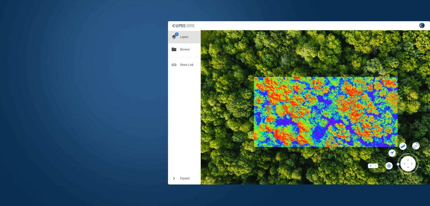
Remote sensing using such spectrum based signatures is turning out to be an invaluable addition to the Earth Observation industry.
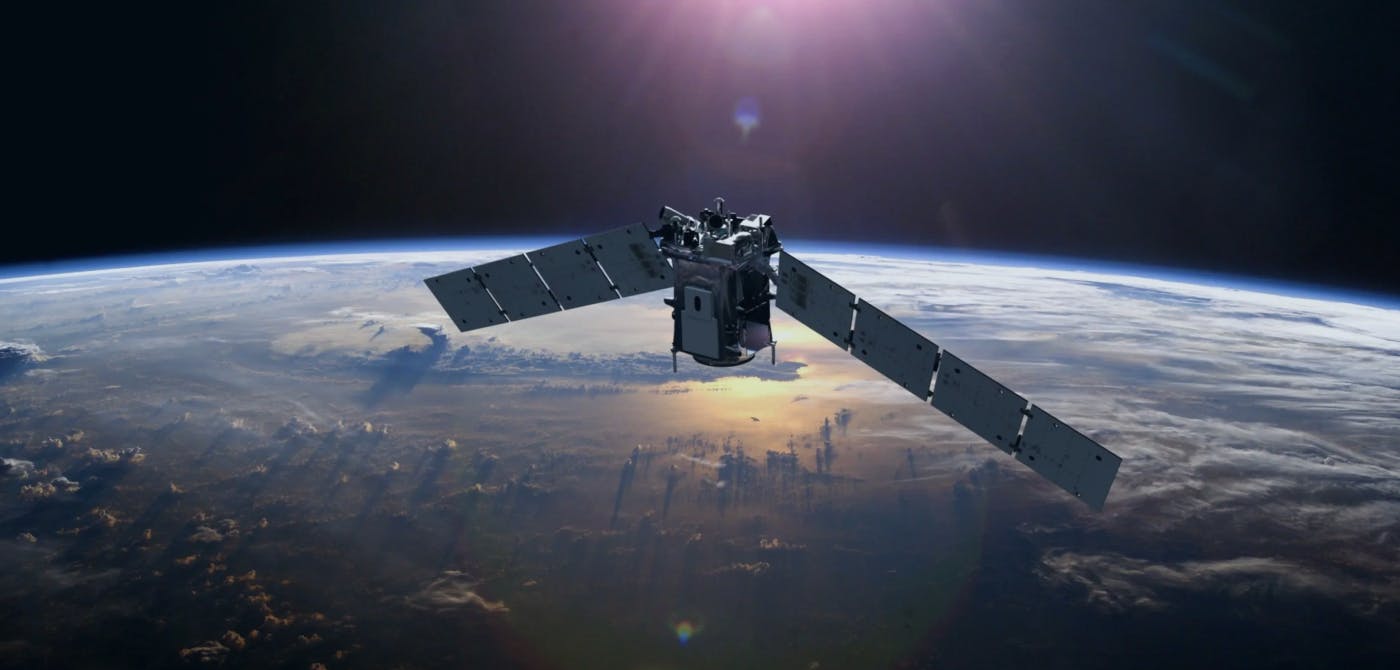
Hyperspectral sensors are placed onto satellites that are able to create hundreds of bands of spectral information for each pixel. The images are fed into powerful softwares at the ground stations that are finally used by data scientists to make dashboards.
Advantages of Hyperspectral Imaging
The primary advantage of hyperspectral imaging over multispectral imaging is the level of detail that it brings to the table. As mentioned earlier, each pixel is dissected which allows for sectioning and new levels of information to emerge.
Each element has a different reflective property, this allows individual pixel to be analyzed separately and create highly detailed dashboards for better visualization and decision making
Applications of Hyperspectral Imaging
Hyperspectral Imaging has started seeping into countless industries and helping stakeholders get a better understanding of the ground situation for better decision making.
Here are some of the main industries and their use cases.
Infrastructure - Identifying issues in infrastructural assets such as railway tracks, dams, highways by assessing the difference in composition/quality and flagging them to relevant stakeholders
Precision Agriculture - Hyperspectral imaging has added a scientific approach to farming. The technology is used for weed mapping, identifying sick crops, soil water levels, and evaluation of crop cycles that improve the yield of the farms.
Environment Monitoring - Hyperspectral imaging is used by environmentalists to identify the condition of natural elements. It is being used for detecting contamination in water bodies, forest fire analysis, forest cover analysis (which tells us about deforestation), drought reports etc.
Final Thoughts
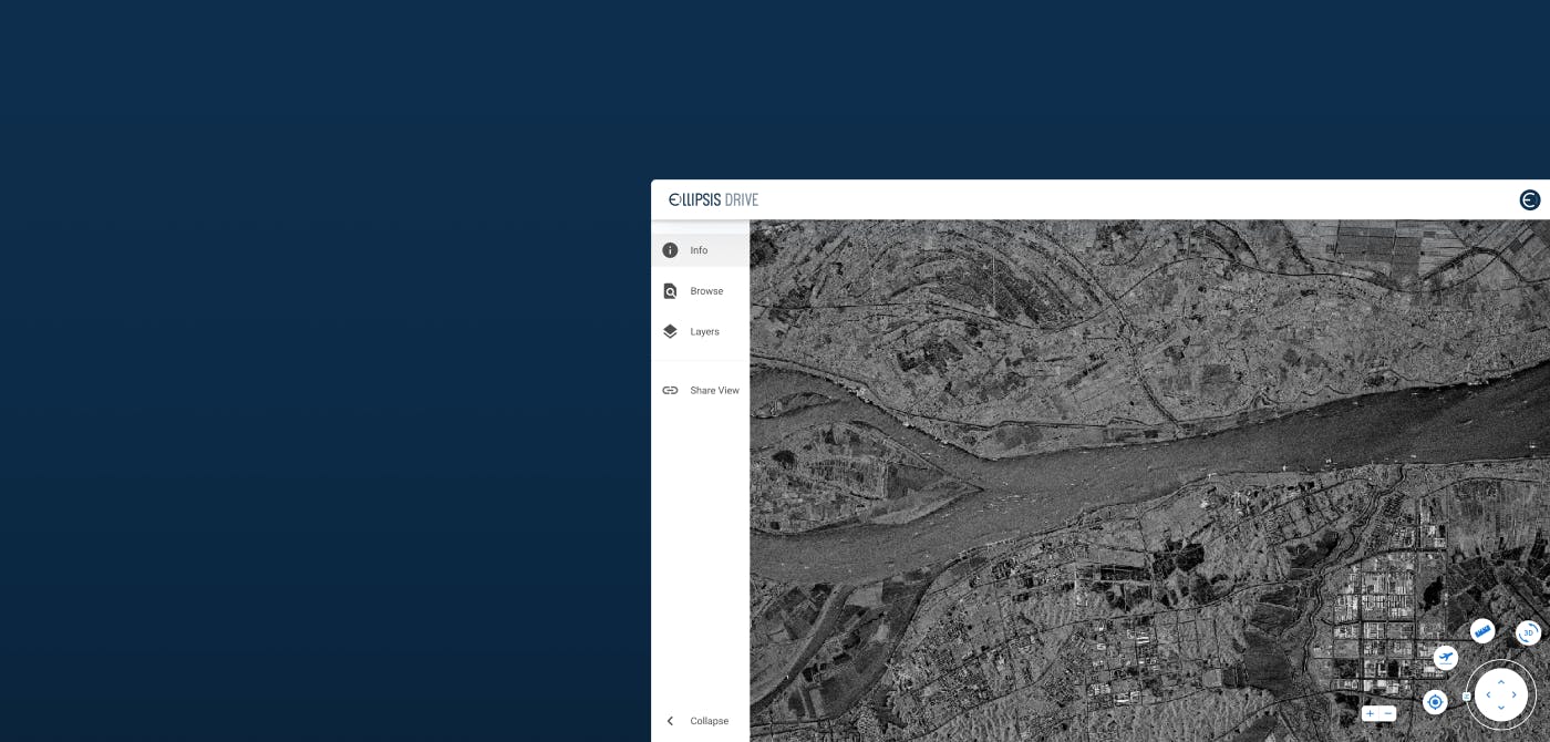
Ellipsis Drive is the world’s first spatial data drive that enables the use of technologies such as hyperspectral imaging. Our web viewer acts as an easy visualization tool for any kind of spatial data analysis work and makes life easier for GIS experts, data scientists and business stakeholders.
Would you like to know more about our unique offering? Book a free 30 minute demo with our industry expert and discuss your use case. We are here for spatial data worth sharing!
Liked what you read?

Subscribe to our monthly newsletter to receive the latest blogs, news and updates.
Take the Ellipsis Drive tour
in less than 2 minutes'
- A step-by-step guide on how to activate your geospatial data
- Become familiar with our user-friendly interface & design
- View your data integration options

Related Articles

Connecting Earth Observation Datasets to End Users Ft. NomadIQ
“From established basic research and government land management to growing demand in carbon markets, hazard insurance, and even recreational apps, there's a rapidly developing market for satellite-ba
5 min read

A Stable Infrastructure for Radar derived 3D Data Visualization
In the latest episode of The Ellipsis Drive Podcast, our CEO Rosalie van der Maas hosted jC Clark, a professional with over 20 years of experience in Insurance and Earth Observation (EO) entrepreneur
7 min read

Satellite-as-a-Service (Part 2): The New 'SaaS' in town
So… where were we? Ohh right, somewhere in space! Jokes aside, in the previous installment of this article series, we discussed the evolution of the SmallSatellite industry. We have established the sh
4 min read