GIS
How are drones used in Asset Management?

Introduction
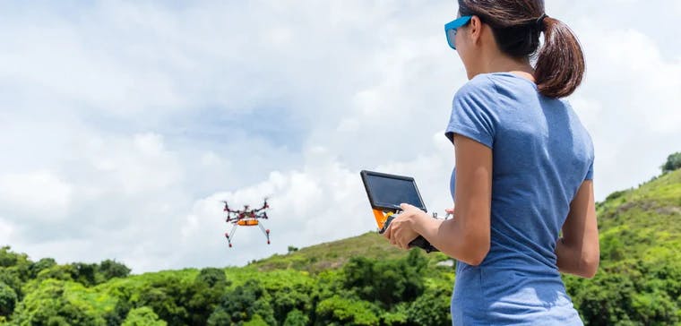
Drones are changing the way we work and play, but most people don't understand how powerful these flying robots really are. Traditionally available only for the high and mighty, recent developments have levelled the playing field thereby enabling everyone to avail the benefits of drone technology!
Drones and GIS mapping go hand in hand, from fighting forest fires to delivering packages to military applications, there is room for optimization in every industry as a result of deploying drones. In this article we focus on how drones are playing a key role in asset management.
How are drones being used?
With a growing human civilization comes a growing need for infrastructure to sustain the population. Drones are proving to be vital for the management and maintenance of physical assets. Unmanned Aerial Vehicles (UAVs) are cost effective, lightweight and easy to operate. They are ideal for such a role.
Constant surveillance of complex infrastructure is needed to catch problems at a nascent stage to avoid a major catastrophe, both financially and otherwise . Most of the sites are inaccessible or too expensive for frequent manual inspections. This is where drones are useful. Drones allow for proactive maintenance. A single UAV pilot can do a site inspection by sending live videos and images of the site to the manager in a remote location. Imagine getting live videos of all your infrastructures at the comfort of your office. How easy would resource allocation be?
Ladder incidents as a result of site inspection is one of the biggest contributors for workplace accidents. Having frequent such inspections only increases the probability of such events. Drones can easily navigate to the most unreachable locations without any major workplace hazards.
Not just for maintenance, but the videos and images can be stored in a safe repository and can be used by relevant stakeholders whenever necessary.
Drones can be used during the construction period of assets as well. 3D views can be created for projections and better decision making.
Applications of Drone Technology
Infrastructure monitoring doesn’t necessarily mean maintenance of buildings. There are many different types of physical assets that benefit from drone technology. We have listed some of the important ones here -
Solar farms - Maintenance is tough in large farms, especially since the inspection needs to be done when the panels are fully functional (under strong sunlight). Agriculture drones can easily navigate through entire fields in hours.
Wind farms - Extremely difficult to access for human crews. Needless to say the risk of regular inspections is way too high.
Railways - Derailing issues are fatal. Hence, constant monitoring of rail tracks is essential. Drones can be deployed to give a holistic view of the entire rail circuit. The resources can be allocated optimally as a result.
Bridges - Maintenance of bridges is of utmost importance given the number of human lives at stake. Yet another asset that is extremely difficult to maintain using human crew alone.
Powerlines - Powerlines go for long stretches and a malfunction in any part can be detrimental to an entire city. They are highly inaccessible and drones can make surveillance much easier.
Oil & Gas sites - Being highly remote sites, drones can provide live streams to managers and key stakeholders in remote offices.
Water pipes - Water leaks are responsible for 20% of water wastage. With water being a scarce resource as it is, regular inspections will go a long way in prolonging the inevitable.
Conclusion
With the right software and personnel, you can turn your drone into a powerful tool for creating maps and analysing data across industries. Agriculture, construction and engineering & mining are some of the many industries that benefit from this.
At Ellipsis Drive, we have created a solution that converts raw geospatial data from devices such as drones into beautiful live maps that can be readily used by stakeholders for decision making and optimal resource allocation. Download our application and get a one stop solution to manage all your geospatial projects!
Liked what you read?

Subscribe to our monthly newsletter to receive the latest blogs, news and updates.
Take the Ellipsis Drive tour
in less than 2 minutes'
- A step-by-step guide on how to activate your geospatial data.
- Become familiar with our user-friendly interface & design
- View your data integration options

Related Articles

Navigating the Cloud Spectrum: From Generalist to Specialized, and the Perfect Middle Ground
The modern cloud ecosystem spans a wide spectrum of offerings, from general-purpose infrastructure to highly specialized platforms built for domain-specific tasks. At one end, generalist clouds provi
5 min read

Unlocking the Potential of Data: Comparing Tabular and Non-Tabular Protocols
The world of data is a complex landscape and each year, the complexity of that landscape grows exponentially. A combination of new data capturing technology, data processing technology and demands fo
6 min read

Understanding the importance of GIS in Urban Planning
Cities are robust places filled with life, but before it becomes a cosmopolitan paradise, plenty of ever-evolving complexities are happening behind the scenes to bridge the gaps and create an area spa
3 min read