Use Case
Sustainable Infrastructure Development using Optioneer
Introduction
Sustainable infrastructure development is the need of the hour. Do you agree? Infrastructure development can’t stop and sustainability can’t be compromised. But we are also in that sweet spot of human civilization where there is a solution available for each and every challenge. Technological advancements have seen to that.
In this article, we’re going to talk about Optioneering, a technology designed by Continuum Industries that is helping countless companies and organizations take strides towards sustainable infrastructure development across the world.
Let’s get into it!
What is Optioneering?
Optioneering is the in-depth consideration of all the possible options available in a given situation and to find the best or preferred option that meets all the desired conditions.
This is exactly what Continuum Industries’ AI driven infrastructure development platform Optioneer does. Optioneer enables infrastructure development companies to visualize and comprehensively assess routing options for their respective projects - power lines, cables, pipelines, road and railways etc.
The AI backed platform is able to take into consideration all the criteria of selection (such as environmental, engineering, social, cost etc.), analyze millions of possible routes/options and return the most optimal one for the project at hand.
A simple 4 step process has made life easier for project managers and all other related stakeholders -
- Inputting the selection criteria and route assessment considerations
- Automatic generation of millions of routes
- Evaluating the report and shortlisting optimal routes
- Exporting and integrating reports to existing workflows of choice (CAD, ArcGIS, QGIS etc.)
Optioneering is a smart way to approach sustainable infrastructure development. The benefits of which are as follows -
- Project reworks are avoided as a result of a comprehensive routing sequence and collaboration between stakeholders
- Automatically updated Open Source Data and GIS data sets ensures detailed assessment and analysis work to be conducted
- Potential route obstacles are mitigated through better geospatial visualization
To put it in numbers, Optioneer has supported over 23,000 km of assets, achieved approximately 66% reduction in time to complete initial route development and evaluation in over 11 countries.
The use cases are countless and the number of industries that Optioneering finds a connection with are also innumerable. Think about it, isn’t sustainability a collective endeavor to everyone’s benefit?
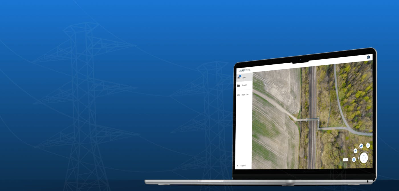
Where does Ellipsis Drive fit in?
Being an interoperable platform for managing and integrating geospatial data, Ellipsis Drive is key in bringing Optioneer to market. As part of its IT infrastructure, the reliance on Ellipsis Drive for data management and unification allows the Continuum Industries’ team to focus on creating valuable data sets, building out their desired UX and rendering maps efficiently. Multiple developer- and data science-endpoints ensure seamless integration and automation of otherwise labor-intensive and error prone analytics and data transformation processes.
Ellipsis Drive is proud to provide foundational support for a unique offering such as Optioneer!
Conclusion
Sustainability is a necessity at this point, not a luxury. As a company, Ellipsis Drive supports endeavors that improve our collective quality of life. Sustainable infrastructure development fits that bill to the T. We’re delighted to partner with Continuum Industries as a front-runner in this field. Keep an eye out for them!
Liked what you read?

Subscribe to our monthly newsletter to receive the latest blogs, news and updates.
Take the Ellipsis Drive tour
in less than 2 minutes'
- A step-by-step guide on how to activate your geospatial data
- Become familiar with our user-friendly interface & design
- View your data integration options

Related Articles

The Waterschapshuis: Drought Monitoring in The Netherlands
Despite the small size of the country, The Netherlands is the second largest exporter of agricultural products in the world. What’s their secret? What makes them tick? Well, it is a combination of ide
2 min read

Build Smart, Not Hard: How Element 84 Guides Clients with Spatial Data Infrastructure
For this episode of the Ellipsis Drive podcast, we sat down with Dan Pilone, CEO of Element 84, a geospatial engineering firm known for guiding organizations through some of their toughest technical
5 min read

EarthDefine: Protecting the Earth's Green Cover
Trees are the single most selfless beings on this planet. They have given so much to this world in so many ways. We literally owe them our lives by breathing in the precious oxygen that they produce.
3 min read