Use Case
Endurosat: Progressing Through Space Technology
Liked what you read?

Subscribe to our monthly newsletter to receive the latest blogs, news and updates.
Contents
Introduction
As strange as it might sound, Earth has become a lot closer to space in the last decade or so. Okay, maybe not in terms of distance, but definitely in terms of accessibility.
With the rise of EO applications and with space technology growing in leaps and bounds over the last 10 years, space resources have indeed come at arm’s length to us earthlings.
“Access to space should be a basic human right!”
This is a vision and sentiment that is strongly felt by the company under the spotlight in today’s article - Endurosat
In this article, we talk about the growth of space as a resource, the role of Endurosat in the NewSpace ecosystem and Ellipsis Drive’s place in it.
Endurosat - Progressing through Space Technology
Endurosat is a space company with a mission to bring space resources closer to humanity. Space data is a valuable resource for countless stakeholders - entrepreneurs, scientists, environmentalists. The list goes on.
However, accessing space data has always been seen as a highly technical and complicated affair. After all, sending a satellite up into space is literally rocket science.
But, the scenario has changed!
Endurosat believes in simplicity as the highest form of sophistication. They are transforming the satellite industry into a streamlined, EO-based, data service. Making space data accessible without the hassle that tends to come along with it.
Endurosat’s operations can be classified into 2 broad categories -
- Shared Satellite Service
- Constellation Service
Endurosat has mastered the space supply chain and provides a piggyback ride to those that want to load their sensors onto their satellites for Earth Observation. This reduces the upfront cost drastically which often acts as a barrier to entry.
Using their existing constellation, Endurosat also provides space data as a service to customers. Customers that easily leverage EO data and use it for analysis and decision making, without having to own the satellite infrastructure.
Endurosat’s constellation is able to monitor and create high resolution EO imagery. They have managed to create a platform to share this valuable space data with visionary entrepreneurs, scientists and technologists that intend to leverage this for their respective endeavors.
Ellipsis Drive for Spatial Data Management
Endurosat’s platform that disseminates space data as a service opens up countless use cases and opportunities. Satellite imagery can be analyzed by stakeholders and used for making smart business decisions.
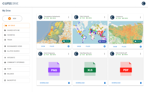
However, the consumption of satellite data is a tricky affair. It always has been. It is not enough to bring the satellite data down into the ground stations. It’s not enough to process the data into an analysis-ready scene either. The last mile, which includes integration of data with end user systems and applications, is where Ellipsis Drive (ED) enters the ecosystem.
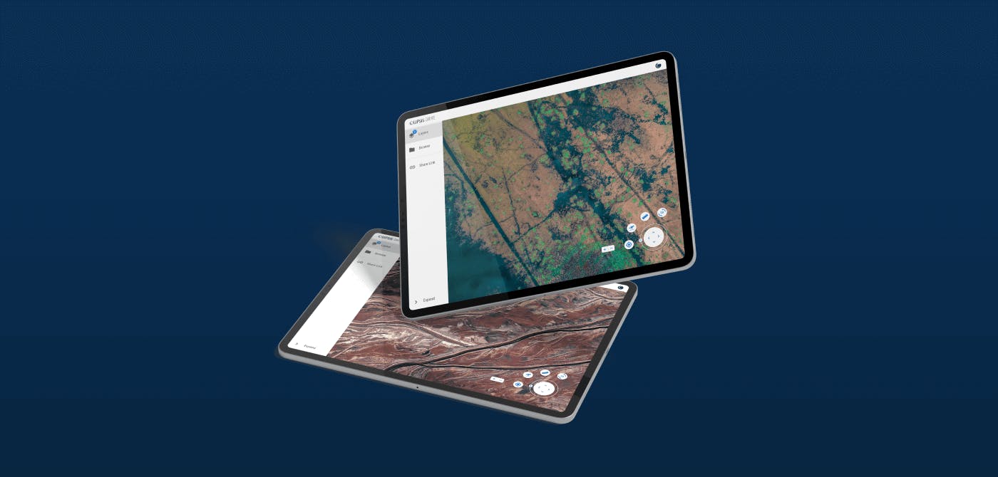
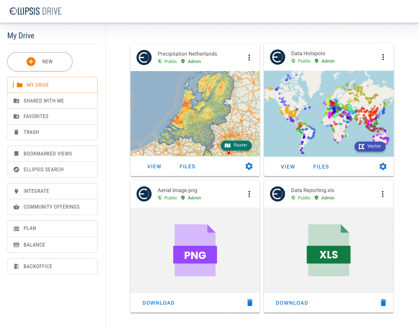
An integration with ED was built to allow end users to easily leverage spatial data sharing and management functionality. ED makes managing, consuming and integrating spatial content into any workflow easy and intuitive.
As such, ED acts as an extension on top of existing data distribution and delivery channels. This provides end users with flexibility and a short time to value. Once data is activated in ED it can be accessed via softwares, tools or packages of choice - e.g. the API, Python package, ArcGIS package.
Final Thoughts
Endurosat aspires to make data from space a basic human right. It is well on its way to fulfilling this vision. A vision that will benefit the world at large.
ED is delighted to have partnered with Endurosat and bolster its operation. We are happy to play a small part in bringing space resources to the fingertips of people with vision. space resources to the fingertips of human civilization.
Take the Ellipsis Drive tour
in less than 2 minutes’
- A step-by-step guide on how to activate your geospatial data.
- Become familiar with our user-friendly interface & design
- View your data integration options
Related Articles

Sustainable Infrastructure Development using Optioneer
Sustainable infrastructure development is the need of the hour. Do you agree? Infrastructure development can’t stop and sustainability can’t be compromised. But we are also in that sweet spot of hum
5 min read
JBA Consulting | The Pursuit of Resilience Against Climate Change
In the late 2000s, the Environment Agency of England and Wales assigned an environmental engineering consultancy with an apparently impossible task - to create a flood map for the entire country in
5 min read
Ordnance Survey's Geovation Connects Industry Challenges to Tech Start-Ups
Geovation is a UK based organization that plays a crucial role in promoting and accelerating the growth of location, property and geospatial industry startups. It is an Ordnance Survey (the national
4 min read
