GIS
How Can We Use GIS for Environmental Preservation?
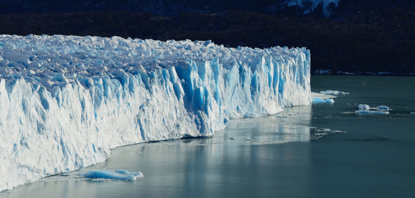
The environment is a crucial part of our lives. Our climate is changing, and we are experiencing horrible weather patterns. Crops are dying because we cannot predict the weather. Ice glaciers are melting. The world has worked hard to address these problems, but there is still more to do. We can do more if we use GIS technology. GIS, or Geographic Information System, makes it easy for organizations to create better strategies for preserving the environment. Read on to find out what role GIS can play in environmental preservation and management.
Contents
What is the importance of GIS?
GIS is a powerful tool that helps organizations to collect, analyse and distribute information. As a result, organizations can update their resource management plans and save money. Several research agencies use GIS technology to manage and plan their projects. You can read more about how GIS is used in conservation efforts here.
GIS and Environment Preservation
GIS, together with other tools such as satellite images and documentation, helps organizations to save more trees and control the distribution of forests. For example, GIS makes it easy to observe the distribution of forests using satellite images. Organizations can use this information to allocate funds for tree planting. This helps to sustain the forests.
The technology is also used to manage conservation areas in order to help preserve the environment. An organization can use GIS mapping to map forest areas that are near their facilities and their locations along the coastline. This allows them to develop a conservation strategy.
It's also important to note that GIS can be used for gathering data about water resources. Using GIS technology, organizations can observe the level of pollution in water bodies. They can also track the movement of water in order to know where the water is flowing to. They can use this information to solve water issues.
Lastly, GIS technology is crucial for creating an inventory of our animals and plants. This will help us to assess the factors that are threatening their population. We can also use GIS technology to track the animals and plants in order to monitor their growth.
Use of GIS in Conservation Biology
Wildlife, particularly those classified as rare, threatened, or endangered, are increasingly suffering the effects of habitat loss and fragmentation as people continue to modify the environment at a rapid pace. Scientists have agreed that habitat loss has been the primary cause of species extinction worldwide for a long time.
As a result, it is becoming more apparent that our current species conservation methods are insufficient for maintaining biodiversity and naturally functioning ecosystems.
Geographic Information Systems (GIS) are essential instruments in accelerating efforts to preserve species diversity.
Here are some of the ways GIS is causing a stir in the conservation world.
1. Using GIS to Predict Wildlife Movement
Wildlife is unconcerned with the limits constructed by humans. When highways are built across the habitats of large, free-ranging animals, such as bears, it frequently results in numerous fatalities.
In this situation, GIS is critical to identifying a workable solution. GIS software has been used to create suitability maps identifying the places animals were most likely to select as crossing points.
Animal movement data may also be used to develop and evaluate models that anticipate the most likely connection sites utilized by bears, lowering construction costs and reducing road-kill.
This sort of study emphasizes the practical use of GIS models over manual and time-consuming data collection methods.
2. Monitoring the Progress/Status of Conservation Efforts
Users may utilize GIS to define conservation targets, create conservation goals for specific places, and track how these actions progress over time.
It is critical to design our towns and maintain natural spaces and protected areas for a healthy environment and sustainable life as our population rises. GIS helps in tracking the current state of an area as well as predicting or planning future requirements.
Consider the following scenario on a smaller scale: you discover an area of your land that appears to be a suitable bird habitat. Using GIS, you can create a map showing birds' most frequented places over several days. Later, you may use this knowledge to place bird feeders in high-traffic locations or areas where you want to see more birds.
3. Mapping Species Populations and Distribution
The distribution of threatened and common animal populations, native plant distribution, and invasive or alien vegetation occurrences are all plotted over time and across regional areas.
Property managers can use GIS to conserve vulnerable environments and populations in the middle of development, such as on recreational grounds (e.g., golf courses).
Species invasions can also be studied by simulating the rate of population increase and displaying species distribution data across time.
The Importance of GIS in Environment Preservation
Lack of technology is a major reason why many organizations fail their projects. They fail because they cannot collect accurate data. They cannot distribute information to all concerned parties. They cannot achieve their objectives because they were not well planned. GIS makes it easier for organizations to plan and manage projects concerning the environment.
In this case, GIS technology helped gather the data needed to make these decisions. They used the available map data to collect information about the available resources. They used the data to decide where to plant trees. They then used the data to plant trees in the most strategic locations.
GIS makes it easy to monitor the environment using satellite images. Satellite images help monitor the natural resources, soil, and habitat of different species. With the help of GIS, an organization can observe the distribution of different species and use this information to allocate funds for the species. This helps conservationists search for endangered species and do something to help preserve them.
Utilize the Effectiveness of GIS for Environment Preservation
The environment needs our protection. We need to do something to make sure that the world is habitable for future generations. GIS technology is a critical part of conservation efforts and will become quite useful in mapping out our forests and observing the distribution of the resources. In the long run, this very tool can lead us to the conservation of our environment.
If you’re looking for a collaborative mapping solution that’s optimized for sharing and selling geospatial content, then Ellipsis Drive has the answer. We make ingestion, integration, and collaboration of geospatial data seamless by offering you and other groups simultaneous access via the tools of your choice. Interested in what Ellipsis Drive has to offer? Contact us today to learn more about what we do.
Liked what you read?

Subscribe to our monthly newsletter to receive the latest blogs, news and updates.
Take the Ellipsis Drive tour
in less than 2 minutes'
- A step-by-step guide on how to activate your geospatial data
- Become familiar with our user-friendly interface & design
- View your data integration options

Related Articles

Navigating the Cloud Spectrum: From Generalist to Specialized, and the Perfect Middle Ground
The modern cloud ecosystem spans a wide spectrum of offerings, from general-purpose infrastructure to highly specialized platforms built for domain-specific tasks. At one end, generalist clouds provi
5 min read

Unlocking the Potential of Data: Comparing Tabular and Non-Tabular Protocols
The world of data is a complex landscape and each year, the complexity of that landscape grows exponentially. A combination of new data capturing technology, data processing technology and demands fo
6 min read

Understanding the importance of GIS in Urban Planning
Cities are robust places filled with life, but before it becomes a cosmopolitan paradise, plenty of ever-evolving complexities are happening behind the scenes to bridge the gaps and create an area spa
3 min read