GIS
3D Mapping | A New Dimension to Spatial Data Visualization

Contents
Share
Seeing is believing, right?
Well, recent technology has taken this phrase to a whole new level creating unimaginable applications and softwares that are constantly testing the boundaries of what is possible and what isn’t.
We’re talking about 3D Mapping, the latest innovation in the field of cartography that has revolutionized how we see things, quite literally.
Contents
What is 3D Mapping?
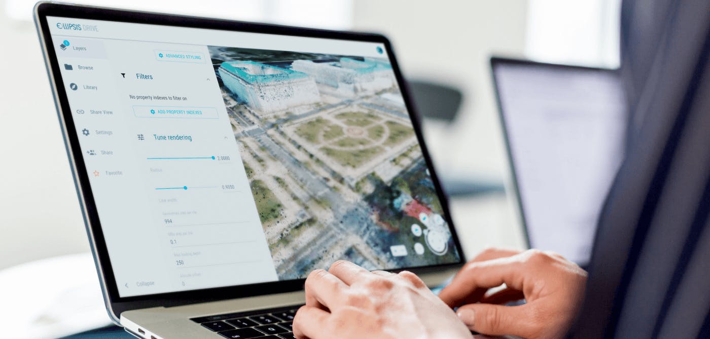
3D Mapping technology is the process that utilizes machine learning algorithms to profile objects and create a 3 dimensional view of it that can be mapped onto the real world. As the name suggests, it is a 3 dimensional representation of objects meaning it maps objects in the x, y and z axis.
Typically, 3D mapping represents elevation and location, making it helpful in developing scale models of features in buildings or the Earth. This added layer or rather added dimension helps in visualization of data and has increased the number of applications and use cases for geodata.
Types of 3D Mapping
There are several ways of 3D profiling of objects and creating 3D maps. We will discuss the 4 main types of 3D mapping in the current day and age -
- 3D Projection Mapping
- GIS Mapping
- Drone Mapping
- Digital Elevation Models
3D Projection Mapping
Instead of conventional screens, the mapping is ‘projected’ on real life physical spaces or objects. Hence the term 3D projection mapping. This form of mapping is also known as video mapping. The 3 key components of projection mapping are data/content, projection software and the physical object for projection.
AutoCAD is a popular application that is used for creating the 3D models to begin with. These are then used to create the projections onto actual objects.
3D GIS Mapping
Thanks to the advancement of technology, professionals developed 3D GIS using modern spatial software and methods. It can be used for a broad range of applications, going beyond compiling and studying maps to urban planning, disaster manager and earth sciences.
But, what is 3D GIS Mapping? Similar to standard maps, regular GIS software uses the horizontal (x) and vertical (y) axes to plot coordinates. However, 3D GIS takes this a step further by making it possible to display objects more precisely by adding one more dimension, z.
3D GIS makes it possible for geospatial professionals to plot other variables, such as z-values, and assign numerous values to the same coordinate. The third dimension can represent many things, such as the population density of an urban area, concentrations of chemicals and minerals in an area, an aircraft’s positions, suitability of plots of land for development, and more.
Drone 3D Mapping

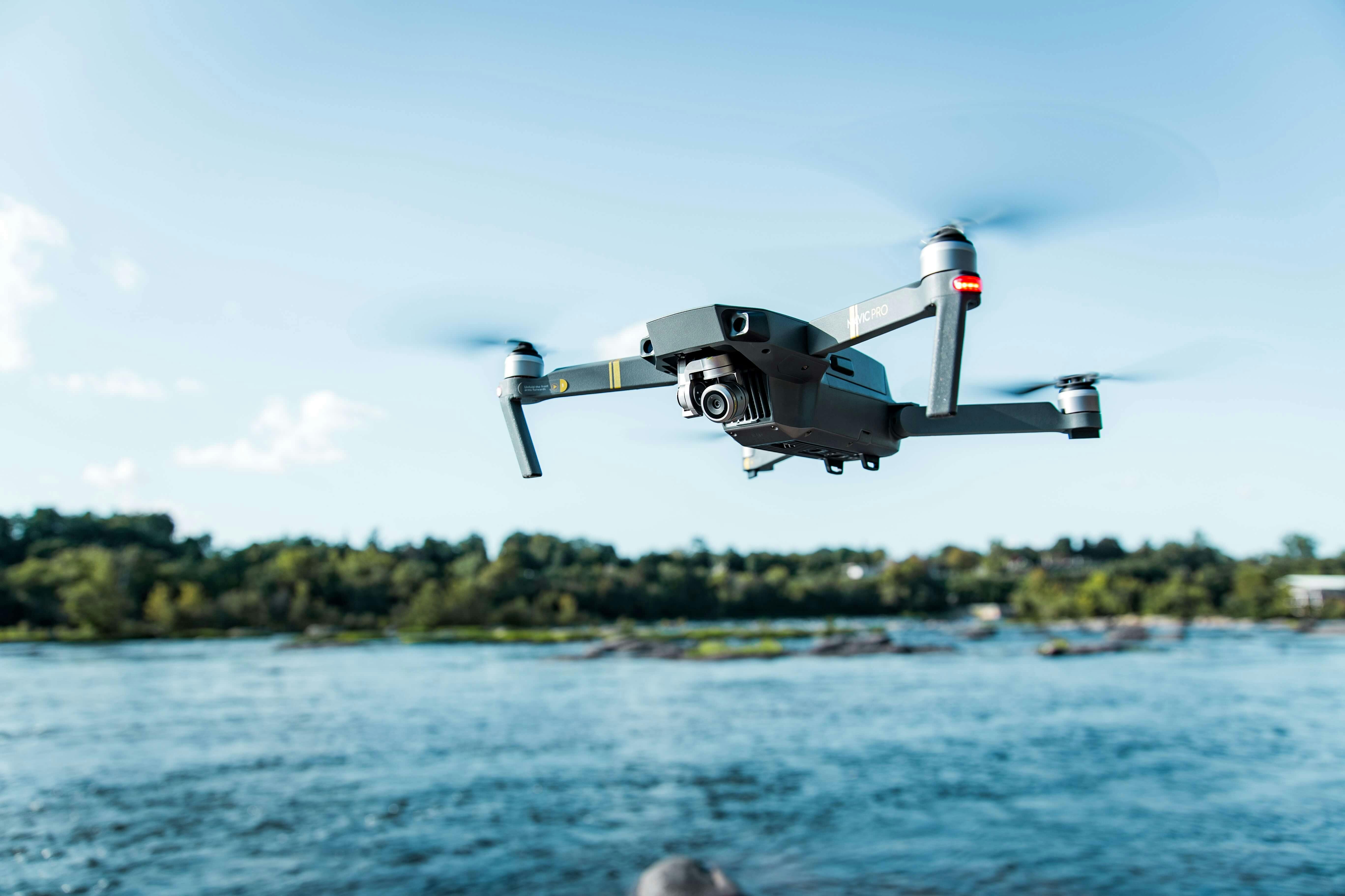
As the name suggests, drone 3D mapping is a form of mapping which relies on aerial imagery taken using drones or unmanned aerial vehicles (UAVs). Drone 3D mapping is also known as aerial photogrammetry, which is nothing but using softwares to convert 2D maps into their 3D renditions. Once these individual drone imagery is captured, they are compiled together using 3D mapping softwares.
Drone 3D mapping is widely used for infrastructure projects, agriculture and asset management.
Some of the top 3D mapping softwares currently used are Pix4D, Dji Terra and Global Mapper.
Digital Elevation Models
Digital Elevation Models are raster representations of the Earth’s surface. The ‘elevation’ part is what makes them a 3D representation of the Earth’s surface. Digital Elevation Models put Earth’s surface into perspective in terms of the sea level. A DEM often depicts the Earth’s bare surface without any earthly objects for better visualization.
Digital Elevation Models rely on remote sensing data from drones, satellites, aircrafts etc.
DEM analysis is used in water management, terrain analysis, urban planning and a lot more.
Het Waterschapshuis (hWh) is one such organization in The Netherlands that uses its own DEM to manage water bodies in the country.
Applications of 3D GIS Mapping
GIS has paved the way for mapping and spatial reasoning to become the primary, vital techniques for problem-solving in various situations. The value has further gone up after the third dimension has been added - 3D GIS Mapping.
Geospatial professionals leverage GIS to oversee countless applications. We will dive into some of these in depth in this section.
How does 3D GIS Mapping help in Disaster Response?

3D GIS has many use cases, particularly in disaster response. It can even help in some of the most dangerous situations encountered by communities due to the extensive geographic data and visualizations it provides for rescue missions.
For example, 3D GIS was incredibly helpful in wildfires that blazed across California in 2018 as they contributed significantly to disaster response. Emergency personnel had access to detailed maps that equipped them with situational awareness through information on current weather conditions, coordinates of a fire, available routes for evacuation, and more.
Additionally, firefighters utilized 3D GIS mapping software to mend a devastated area more efficiently. Elevated regions are challenging to fertilize and seed for new plant growth due to uneven terrain and unpredictable weather conditions. Wind and rain might carry fertilizer bits to low-elevation areas.
However, with 3D mapping and historical weather data, planners can adjust their strategies according to the additional information, allowing them to anticipate wind conditions to dispense the seed and fertilizer more evenly.
Can You Use 3D GIS in Clean Energy Initiatives?

Sharing spatial data through 3D GIS software has also helped the clean energy industry. Local government agencies depend on data sharing of spatial information to erect sites to accommodate renewable energy production to bid for more alternatives to fossil fuels.
3D GIS mapping offers planners essential visualizations that allows them to account for areas that would work best for producing solar, biomass, wind, and geothermal energy and increase the chances of success for renewable energy projects.
For instance, officials can choose the plots of land that have the most suitable soil for growing crops for biodiesel. They can also position wind farms in locations that have minimal to no danger for migrating birds. Lastly, they can keep a close eye on construction or maintenance projects and enjoy the latest updates, offering handy information to the workers.
Final Thoughts - New Ways to Share Spatial Data
3D mapping has unlocked new opportunities for data sharing and interpretation of data, providing more applications for different industries. With more spatial data commercialization, companies can explore more efficient ways to carry out their projects at a lower cost.
Ellipsis Drive helps organizations become more successful when using, producing, and sharing spatial data by providing them with an easy way to activate and store it. With our software, you can safely manage and share your data through the web in under ten minutes.
Would you like to know more about our services?
Get in touch with us or schedule a free demo with our geospatial expert!
Liked what you read?

Subscribe to our monthly newsletter to receive the latest blogs, news and updates.
Take the Ellipsis Drive tour
in less than 2 minutes'
- A step-by-step guide on how to activate your geospatial data.
- Become familiar with our user-friendly interface & design
- View your data integration options

Related Articles

Navigating the Cloud Spectrum: From Generalist to Specialized, and the Perfect Middle Ground
The modern cloud ecosystem spans a wide spectrum of offerings, from general-purpose infrastructure to highly specialized platforms built for domain-specific tasks. At one end, generalist clouds provi
5 min read

Unlocking the Potential of Data: Comparing Tabular and Non-Tabular Protocols
The world of data is a complex landscape and each year, the complexity of that landscape grows exponentially. A combination of new data capturing technology, data processing technology and demands fo
6 min read

Understanding the importance of GIS in Urban Planning
Cities are robust places filled with life, but before it becomes a cosmopolitan paradise, plenty of ever-evolving complexities are happening behind the scenes to bridge the gaps and create an area spa
3 min read