Use Case
DokData: Predictive modelling for Safer Roads
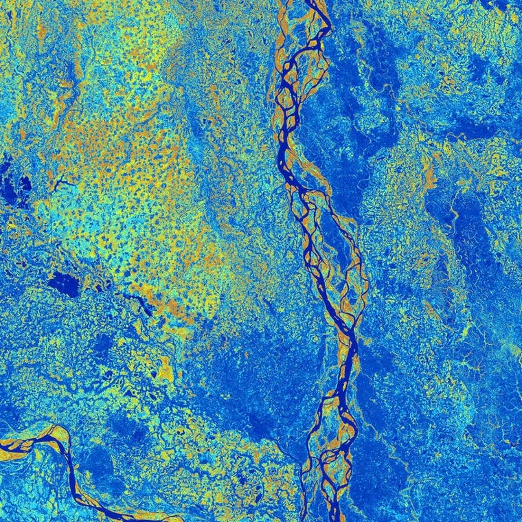
DokData helps local governments predict the safety of roads with a model that runs on data points such as the number of lanes, distance to trees, turn angles, and many more fascinating metrics!
DokData’s model is super useful and frankly quite amazing, so how hard could it be to turn it into a scalable service? Although they make it look easy, DokData actually had to overcome some major challenges to get where they are today. One of these challenges was the daunting task of helping their clients integrate the model’s insights into their workflows.
Traditionally, DokData could either share the data as a raw file, which is not very helpful and often confusing for clients. Or they could share the data in a custom application, which requires a significant amount of time and money to build and maintain. Two choices, (both were a real drag).
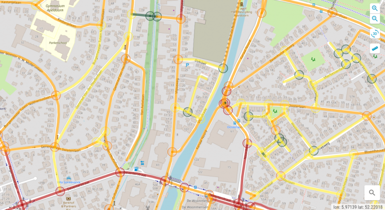
Seeking a solution to their frustration around sharing their results and getting them properly integrated, DokData started using Ellipsis Drive as a user-friendly but powerful way to stage their projects and share the content with clients.
- First, the team uploaded their data to Ellipsis Drive.
- Next, they sent their project via weblink to clients and partners.
- Finally, everyone enjoys a real-time connection on their spatial data project.
Technical and non-technical users found it easy to access projects on their web browsers making it simpler than ever for the DokData team to navigate customer success. It seems they have finally created a lean way to put their spatial intelligence to work.
This all means that making roads safer is simpler than ever before. Hooray!
Liked what you read?

Subscribe to our monthly newsletter to receive the latest blogs, news and updates.
Take the Ellipsis Drive tour
in less than 2 minutes'
- A step-by-step guide on how to activate your geospatial data
- Become familiar with our user-friendly interface & design
- View your data integration options

Related Articles

The Waterschapshuis: Drought Monitoring in The Netherlands
Despite the small size of the country, The Netherlands is the second largest exporter of agricultural products in the world. What’s their secret? What makes them tick? Well, it is a combination of ide
2 min read

Build Smart, Not Hard: How Element 84 Guides Clients with Spatial Data Infrastructure
For this episode of the Ellipsis Drive podcast, we sat down with Dan Pilone, CEO of Element 84, a geospatial engineering firm known for guiding organizations through some of their toughest technical
5 min read

EarthDefine: Protecting the Earth's Green Cover
Trees are the single most selfless beings on this planet. They have given so much to this world in so many ways. We literally owe them our lives by breathing in the precious oxygen that they produce.
3 min read