GIS
Why Cartography still matters
Contents
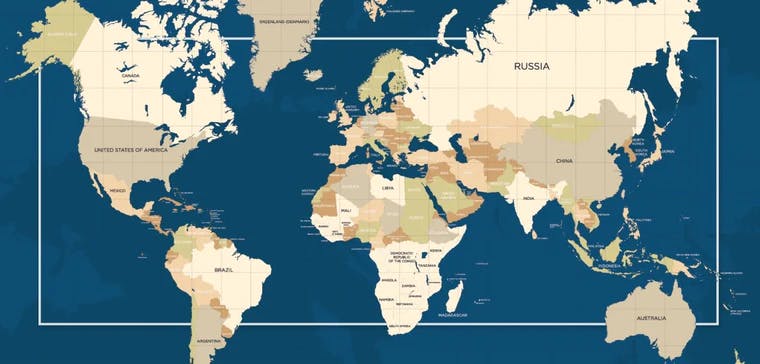
What is Cartography?
Maps have been the cornerstone upon which the world was discovered. Since ancient times, explorers have always relied on maps to discover and rediscover the world. Cartography is the art and science of designing, creating and reading maps. It takes a geographical area or location and puts it onto a 2 or 3 dimensional space.
It comes as no surprise that the central theme of cartography is location. Location of things and location of things in relation to other things. Other than location there are several other factors and considerations when it comes to cartography, such as the scale, coverage and source. We will talk a bit more about sources in the next section.
Evolution of Cartography
Map making has come a long way. The journey from a simple treasure to highly detailed live maps has been quite eventful. To understand the evolution of cartography, one must simply ask one question. What are maps used for? Or rather what were maps used for earlier and what are they used for now?
Back in the day, maps were used primarily for navigational purposes, to reach from point A to point B. But in recent times new technologies have surfaced, we started realizing that there is a lot more to maps than just navigation. Mapping has been deployed for powerful applications such as disaster management, environment monitoring and location intelligence based marketing.
Digital Cartography
Cartographers need to keep their end users in mind. The customer evolves and the product evolves along with it. Maps are hardly viewed on physical papers like they used to in olden times, but rather digitally in handheld and computer devices.
While the fundamental principles of cartography have stood the test of time, the sources, approach and technology have definitely changed. Digital cartography has a lot to do with data capture, manipulation and image processing.
Instead of manual field surveys, cartographers rely on high resolution aerial imagery, GPS, sensors and satellites. These new sources have allowed the creation of highly detailed digital maps.
To take it one step further, the concept of smart maps is also growing in popularity where maps are connected with other data sources to improve decision making and surveillance for local governments and other relevant organizations.
A combination of Remote Sensing technology and Geographical Information Systems (GIS) is leading the way for the creation of real-time smart maps that can be put to use in a plethora of fields.
Applications of Cartography
The integration is such that you are probably benefiting from digital cartography on a daily basis. We’d be surprised if you haven’t at least once in the last 24 hours!
Google maps are one of the most common examples that come to mind. Many of the food delivery apps, cab ordering apps that you use go beyond the basic navigational use of maps. There is almost a 2 way interaction with these live maps.
Digital maps are extremely useful in disaster management as well. Many of the first rescue squads rely on digital maps to identify areas with maximum casualties to provide life support.
These products are also useful to environmentalists that are trying to preserve the environment. A bird’s eye view of the situation always helps.
Conclusion
With all the evolution that has taken place already, cartography still continues to make new strides every day. Maps keep getting more clearer and information keeps getting more real time. The most isolated of places on Earth are under everyone’s radar thanks to modern cartography. And yet, this is not the end, this is just the beginning.
If you create detailed digital maps out of geospatial data and are interested in easily sharing it with the world, then do have a look at our plug-and-play solution that makes sharing geospatial collaboration simpler than ever before. Contact us now!
Liked what you read?

Subscribe to our monthly newsletter to receive the latest blogs, news and updates.
Take the Ellipsis Drive tour
in less than 2 minutes'
- A step-by-step guide on how to activate your geospatial data
- Become familiar with our user-friendly interface & design
- View your data integration options

Related Articles

Why AI is Reshaping Spatial Data Infrastructure
Artificial Intelligence is rapidly reshaping expectations around geospatial workflows. Organizations no longer want static outputs or slow analytics cycles. They want near real-time insights, scalabl
5 min read

Navigating the Cloud Spectrum: From Generalist to Specialized, and the Perfect Middle Ground
The modern cloud ecosystem spans a wide spectrum of offerings, from general-purpose infrastructure to highly specialized platforms built for domain-specific tasks. At one end, generalist clouds provi
5 min read

Unlocking the Potential of Data: Comparing Tabular and Non-Tabular Protocols
The world of data is a complex landscape and each year, the complexity of that landscape grows exponentially. A combination of new data capturing technology, data processing technology and demands fo
6 min read