GIS
GIS and Remote Sensing - A match made in heaven
Contents
GIS stands for Geographic Information Systems (GIS). GIS is a type of software that provides a convenient and complete platform for creating, storing, analysing, and managing spatial data for a range of applications. It is essential in a large variety of industries such as civil engineering, resource management, geo-analytics, mapping, and research. The advancements of GIS come into full use when paired with advanced data collection methods, such as remote sensing.
Contents
What is remote sensing?
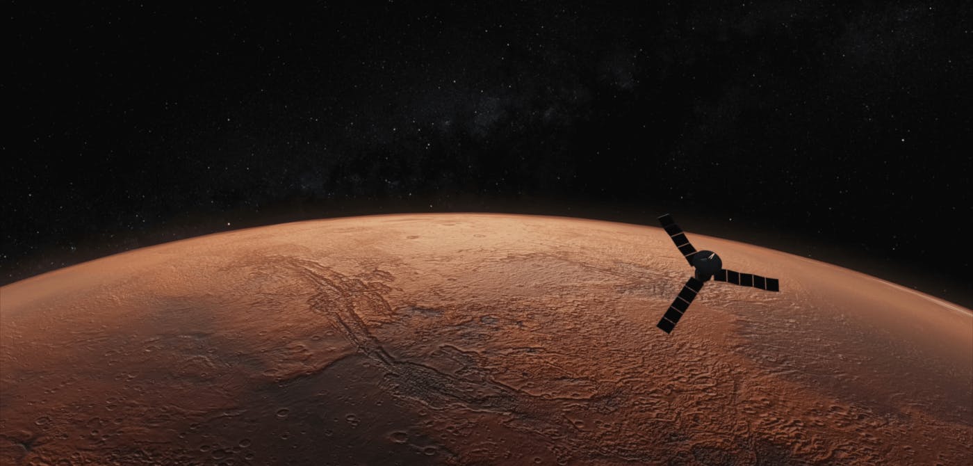
As the name suggests, remote sensing is a technique that allows users to remotely capture information of the Earth's terrain that is filled with valuable geodata - geological features (soil structure), drainage, ocean and hydrology, agriculture lands, construction projects and many many more. Geodata can be remotely captured through countless devices, big and small, depending upon the size and scope of the operation. Earth Observation satellites, aircrafts, ships (for oceanography), drones (for cost effective agricultural projects) are some of the sources that come to mind.
The remote sensing powered geodata collected acts as the input for GIS softwares. GIS users analyse and create dashboards that can provide insights, change analysis reports and be the backbone for informed decision making.
Together with GIS, companies and governments can collaborate towards sustainable development.
How does Remote Sensing Improve GIS Technology?
The various sources of remote sensing information include aerial photography (using traditional aircraft or unmanned aerial vehicles), satellite imagery, and Light Detection and Ranging (LiDAR). These methods collect data from a distance, allowing GIS professionals to safely analyze it using an easy-to-use spatial data platform.
Remote sensing increases the capabilities of GIS by providing geospatial information even in hazardous areas, such as those experiencing natural calamities. It also provides users with a way to systematically collect data for various applications. Moreover, its unobtrusive processes allow researchers to map areas and objects without disturbance.
Join the Community
Subscribe to our monthly newsletter to receive the latest blogs, news and updates
What are the various applications of GIS and Remote Sensing?
GIS and remote sensing both have a number of applications in various fields, forming the foundation of data-driven approaches in engineering, conservation, research, and resource management. Some of the uses of these technologies include:
1 - Analysis and Visualization of Particular Sites
Collecting and processing geospatial data are critical for site analysis and visualization. Professionals can readily access high-resolution images that provide accurate maps of real-world geographic and geological features through GIS and remote sensing. This information can help in tracking changes over time, inspecting qualified construction sites, and studying numerous contexts of a given area.
2 - Sustainable Planning and Development
Urban planning and development need to be as sustainable as possible, reducing the environmental and economic impacts of constructing infrastructures in an area. GIS and remote sensing help generate development models for more accurate monitoring and decision-making. Satellite imaging also helps detect environmental and structural changes in various sites, helping urban planners create safe and sustainable projections.
3 - Infrastructure Safety
GIS and remote sensing provide insights into the safety and security of infrastructures, allowing engineers to identify and detect natural and human-caused threats. The visual information they process can also help professionals view visible changes in infrastructure and mitigate structural risks.
4 - Precision Agriculture
The combined power of GIS and remote sensing is promoting the adoption of precision agriculture. Farmers and agronomists are using the remotely sensed view of their farms to optimize yield by identifying ill crops, ways to optimally install irrigation systems and track crop cycles. This is helping agriculturists get ahead of the curve and keep pace with the growing population that they have to feed.
Invest in a Collaborative Mapping Solution
Technological advancements have made remote sensing and geographic information systems work in synergy to provide unobtrusive and systematic processes for many applications. Numerous industries continue to adopt these technologies and expand their capabilities towards safety, sustainability, and data-driven decision-making.
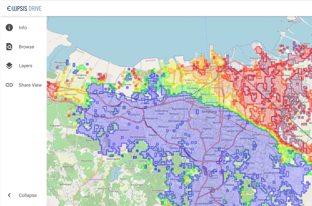
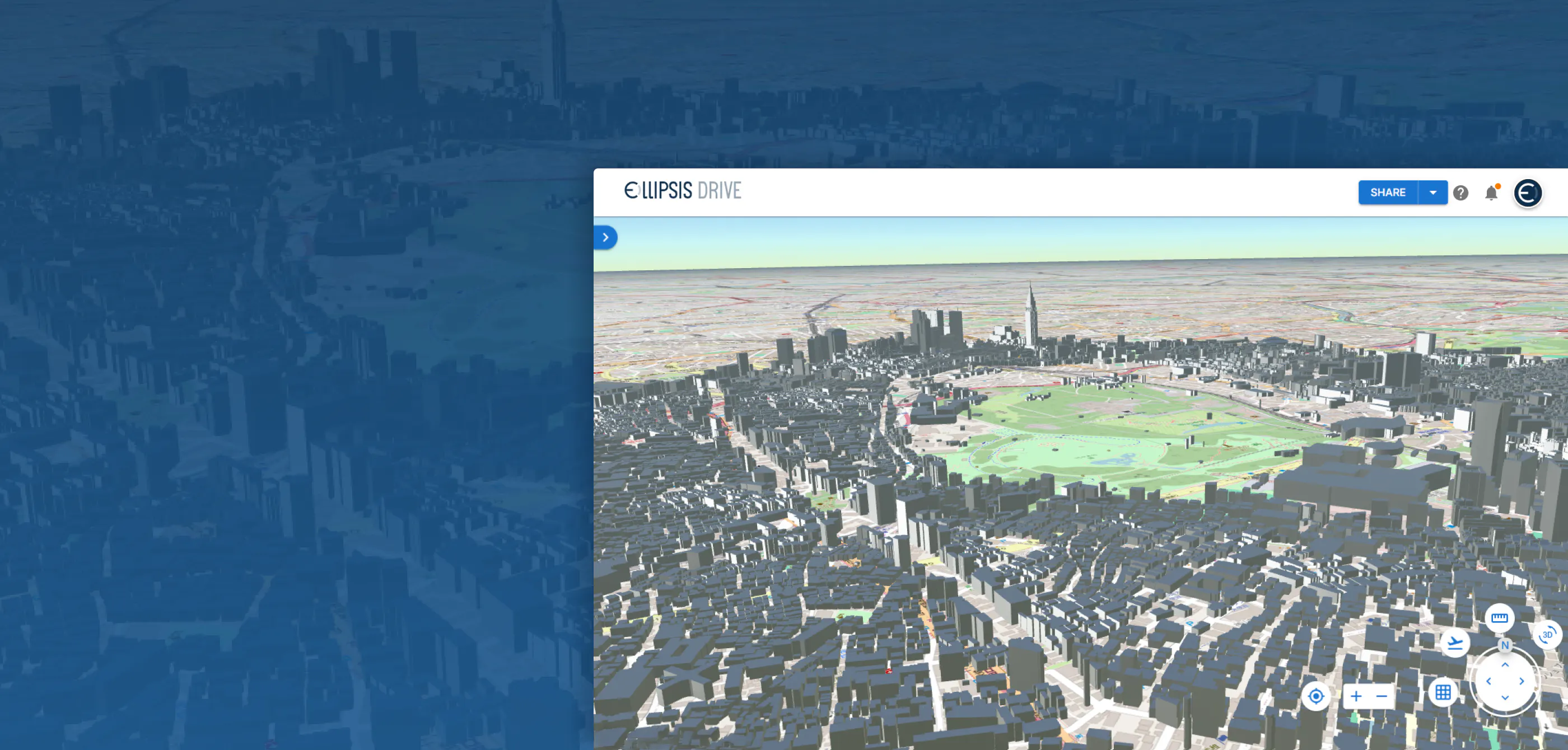
If you’re looking for a collaborative mapping solution that enables you to create, share, and use spatial data, Ellipsis Drive has you covered. We’ll provide you with a spatial data platform that allows you to make the most of your geospatial data. Invest in our solutions—contact us today!
What can Ellipsis Drive do for you?
Make spatial data management easy. Connect your data to your target audience in minutes.
Support all popular data endpoints and protocols off-the-shelf.
Related Articles
Are Today's Spatial Data Infrastructures Ready for 3D?
For decades, geospatial workflows have revolved around two primary data types: raster and vector. Together, they have formed the foundation for everything from environmental monitoring and infrastruc
6 min read

Why AI is Reshaping Spatial Data Infrastructure
Artificial Intelligence is rapidly reshaping expectations around geospatial workflows. Organizations no longer want static outputs or slow analytics cycles. They want near real-time insights, scalabl
5 min read

Navigating the Cloud Spectrum: From Generalist to Specialized, and the Perfect Middle Ground
The modern cloud ecosystem spans a wide spectrum of offerings, from general-purpose infrastructure to highly specialized platforms built for domain-specific tasks. At one end, generalist clouds provi
5 min read