Use Case
Orbify: Connecting world-changing ideas to space
Contents
Introduction
The skies above us are filled with mystery and infinite possibilities. Despite decades of space exploration, we are still left with so many unanswered questions. So much potential is yet to be tapped. With over 6000 Earth Observation (EO) satellites sent into space so far and 1500 of them launched in 2021 alone, people are slowly learning how to tap this goldmine.
As we delve into the Earth Observation industry, one thing is for sure: We are getting better at sending our satellites into space, both faster and cheaper. But we haven’t spent as much time and effort figuring out how to relay this precious information to potential end users on Earth. Feeding this data into industries and businesses is proving to be the bottleneck.
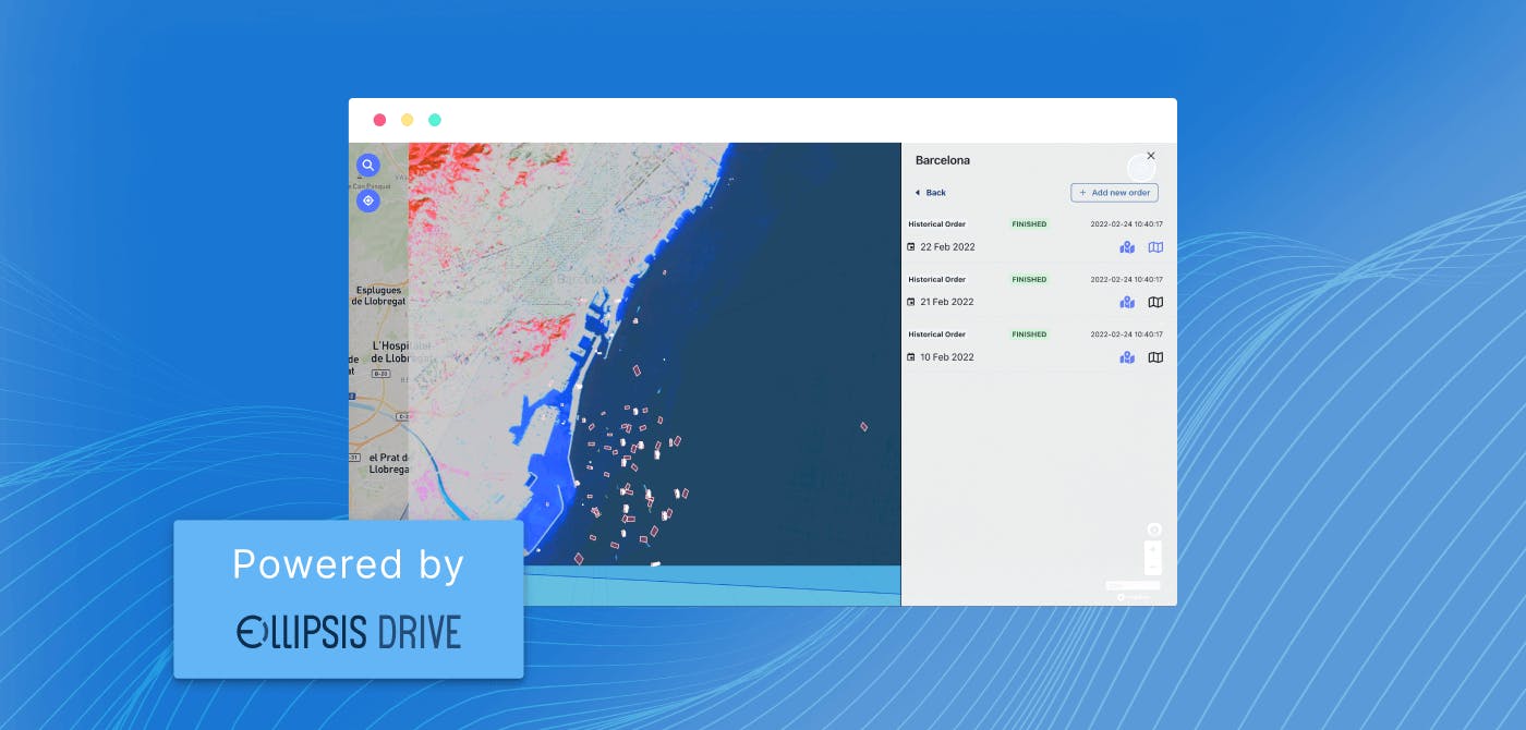
It was this inquisition that led to the birth of Orbify - an organization that allows users to build map based applications that leverage Earth Observation data, without the need to code (!).
Orbify: Connecting world-changing ideas to space

Do you know what successful people do? They help other people become successful.
Orbify has embraced this quality in their product offering. They empower innovators. With their groundbreaking solution, the company has managed to give creators the freedom to focus on building spatial information products while the Orbify platform makes sure no coding skills are required.
With their ready made templates, analysis options and flexible UI, users can create applications and visualizations of their spatial data in a matter of minutes.
The solution has already made inroads in addressing critical issues such as deforestation, flood monitoring and illegal fishing. The list gets longer with each passing day.
Ellipsis Drive - Connecting Orbify and its users
With such a flexible and collaborative analytics product at their disposal, Orbify was looking for a lean and smart solution that would further bring out the value of their unique proposition. Turns out, Ellipsis Drive could rise to the occasion!
Ellipsis Drive serves 2 key purposes for Orbify and its users -
- Orbify can leverage Ellipsis Drive as a database and backend for smooth and seamless workflow management. This means that Orbify is able to handle most of their use cases using the Python and MapGL libraries that Ellipsis Drive provides them with.
- Ellipsis Drive allows users of Orbify to leverage their own data that they are hosting in their Ellipsis accounts. Then users can flexibly bring their own data to the table without any interoperability issues occuring at either party’s end.
"Ellipsis Drive helps us flexibly render vector and raster data in our own application (the Orbify platform). We especially value the easy conversion of raster data to map tiles. I would happily recommend this solution to peers!"
- Jakub Dziwisz, CEO Orbify
Conclusion
Organizations such as Orbify continue to make great strides in the field of Earth Observation. By enabling space innovators, they are making the hurdles for using EO data disappear. Orbify was looking for a partner that shared its enthusiasm about the Earth Observation industry to help tap the potential that lay in front of them.
Orbify and Ellipsis Drive become allies in this mission! And this is just the beginning of our journey. Onwards and upwards!
Are you interested in being a part of our growing community and tapping the power of Earth Observation data to bolster your business operations? Schedule a 30 minute demo with our expert and find out how we can help you with your business needs.
Liked what you read?

Subscribe to our monthly newsletter to receive the latest blogs, news and updates.
Take the Ellipsis Drive tour
in less than 2 minutes'
- A step-by-step guide on how to activate your geospatial data.
- Become familiar with our user-friendly interface & design
- View your data integration options

Related Articles
Spatial Data-Powered Precision Agriculture Ft. VitiDron
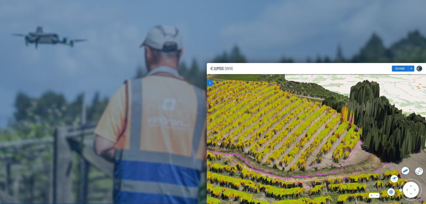
The world’s population is projected to reach 10 billion by 2050. That’s a lot of mouths to feed. This is occurring while climate change is on the rise, and natural resources are on the fall. Cracking
4 min read
The Deep4Sat43 Project - Monitoring Unhealthy Trees from Space
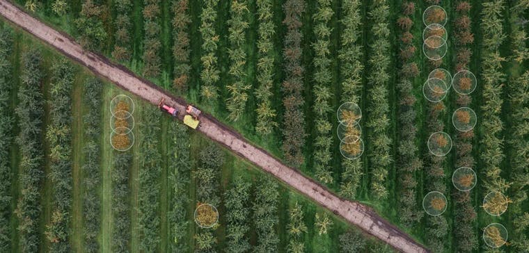
Teamwork makes the dream work, a statement personified by the Deep4Sat43 project, a collaborative project which is proudly funded by Eureka Network. The initiative is led by Spectro-AG and Ellipsis
3 min read
EarthDefine: Protecting the Earth's Green Cover
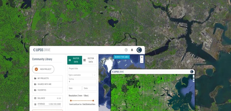
Trees are the single most selfless beings on this planet. They have given so much to this world in so many ways. We literally owe them our lives by breathing in the precious oxygen that they produce.
3 min read