Disaster Management
Satellite Radar Data to Monitor Land Subsidence
Contents
Introduction
The Earth continues to go through drastic changes in the 21st century. As the human population rises and the exploitation of natural resources rises along with it, the Earth continues to retaliate in its own destructive way. One such issue that is becoming increasingly alarming is that of land subsidence. Often termed as the silent hazard, land subsidence continues to rise in intensity and frequency and pose a big threat to life and infrastructure.
What is Land Subsidence?
In simple terms, land subsidence is the downward, sinking movement of the ground as a result of insufficient support (in terms of water content and soil minerals) from underneath.
Man made reasons such as mining, over irrigation and oil extraction are responsible for the groundwater table to deplete over time. They are further aggravated by natural disasters such as earthquakes and floods.
A state like California continues to sink downwards by 2 inches per year as a result of years of groundwater table exploitation.
Impacts of Land Subsidence on Society
Land subsidence incidents can sometimes be sudden in nature in the form of fissures or they can be gradual sink. It is this unpredictable nature that makes them so dangerous because more often than not the damage has already been done before it comes to light.
Land is the foundation of any infrastructural project, so land subsidence has a direct economical impact on all such new and existing projects.
It also makes societies more vulnerable to floods as the ground below us continues to sink and becomes looser.
Leveraging Satellite Radar Technology
Satellite data continues to apply itself in the detection and monitoring of land subsidence patterns. In a way it captures the pulse of our planet. Geospatial images are able to detect groundwater levels and water retention capacities using infrared Synthetic Aperture Radar (SAR) technology. It helps authorities deal with groundwater management which is crucial to combat land subsidence.
By creating a displacement series of the groundwater levels through regular surveillance we can identify a land subsidence event before it occurs and intimate the relevant stakeholders.
Displacement measurement is not easy, but it gets more accurate with improving technology. Advancements allow for larger areas to be surveyed with better spatial resolution. Noise and atmospheric disturbance continues to get cancelled. And most importantly, increase in analytical tools for geospatial data helps identify trends that turn out to be the difference between life and death.
Monitoring land subsidence is crucial for a country like the Netherlands that is at sea level (or marginally below it). Rising sea levels make it prone to floods and early identification of areas prone to land subsidence is key for geohazard management organizations. Land subsidence also makes flood monitoring even more crucial.
Given the nature of the problem and for the technology and approach to work, constant surveillance is needed. A lean solution is integral for the fast processing of geospatial data, to convert mapping into monitoring!
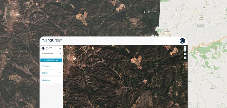
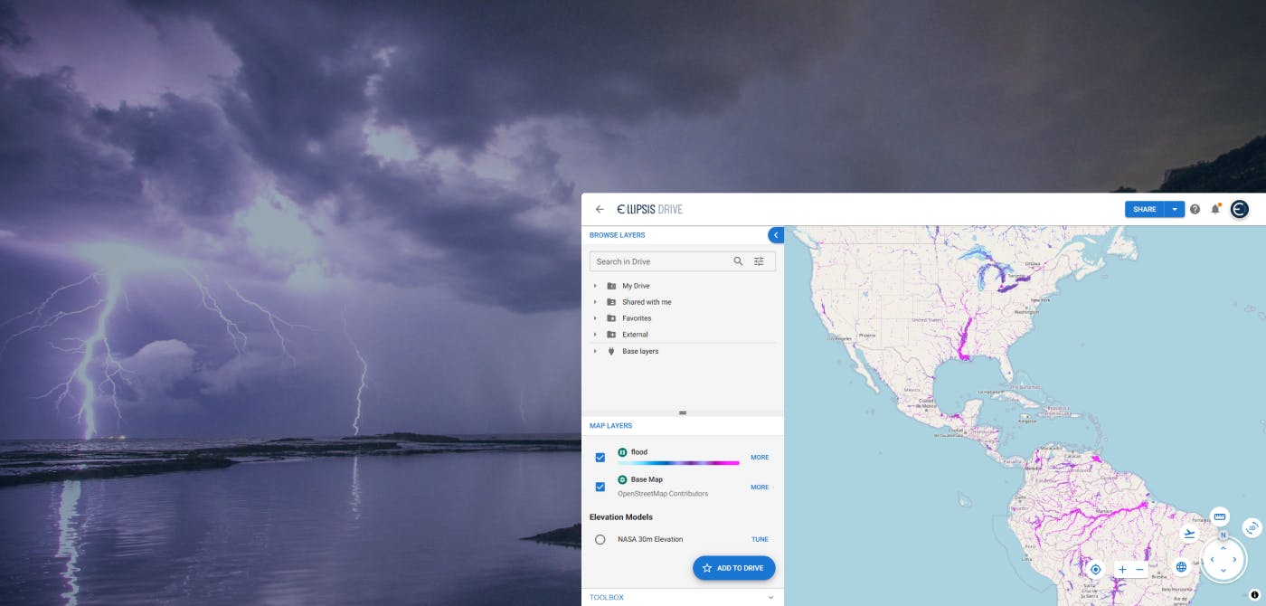
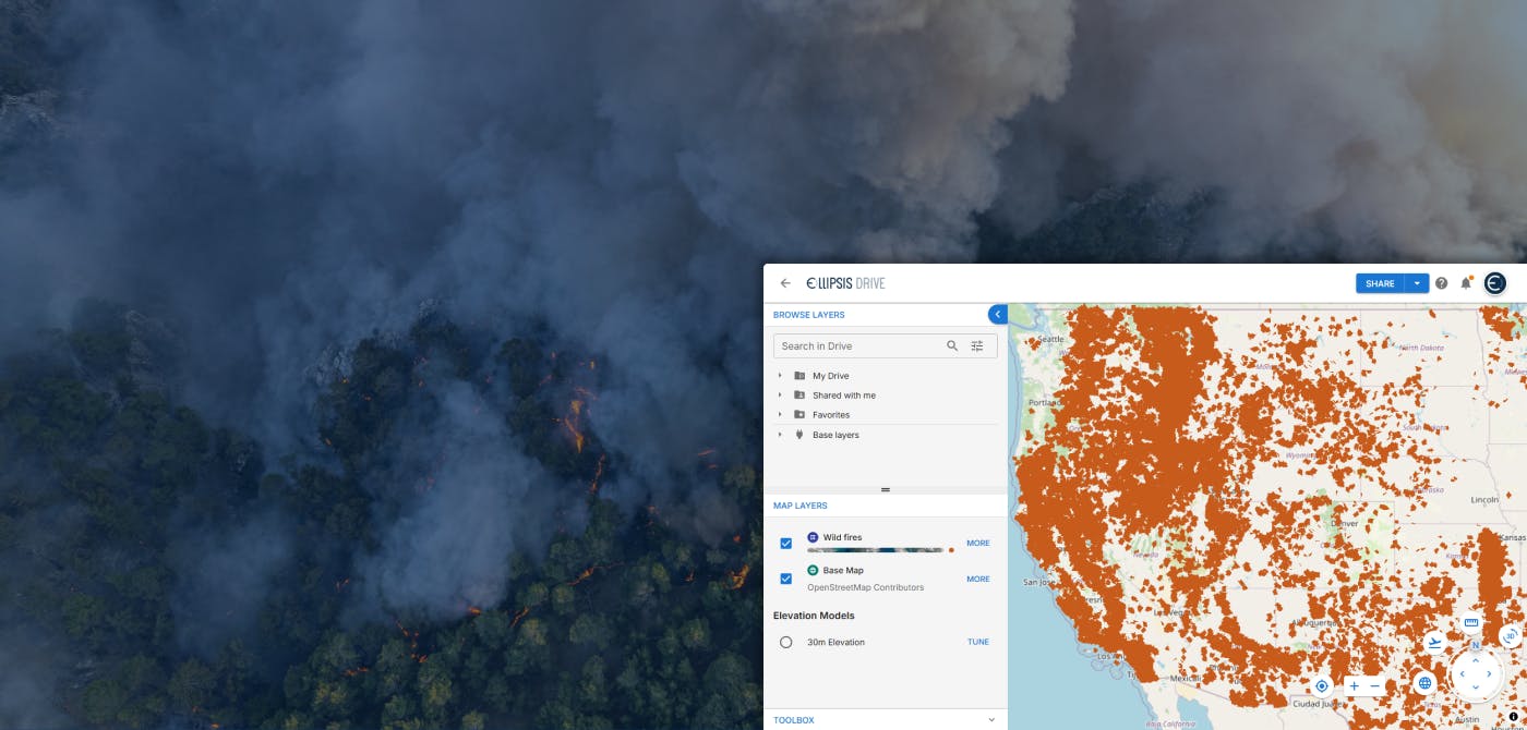
Ellipsis Drive’s plug and play solution is primed for such a complex operation that requires quick turnaround of geospatial data. Creating time series’ and monitoring change requires constant edits, versioning and fast upload of data. A drive like interface allows all of the above and more. Project management has never been simpler with simultaneous access as a result of multiple endpoints. Our highly flexible solution also allows for seamless integration with other analytical tools for deducing insights and patterns. Get in touch with us today!
Conclusion
With rising sea levels and changing climatic conditions, land subsidence continues to become a bigger threat with each passing day. But satellite data also continues to keep up with this challenge by constantly enhancing its offering. Data Scientists and Analysts continue to find new and better ways to embrace this technology and tackle these situations. But will technology ever get the better of nature in the foreseeable future? Or will nature continue to laugh at technology’s face?
Liked what you read?

Subscribe to our monthly newsletter to receive the latest blogs, news and updates.
Take the Ellipsis Drive tour
in less than 2 minutes'
- A step-by-step guide on how to activate your geospatial data
- Become familiar with our user-friendly interface & design
- View your data integration options

Related Articles
Flood Risk Management with Ellipsis Map Engine
Flooding is the most common and costliest natural disaster worldwide. In 2023 alone, global insured losses from natural catastrophes topped $123 billion, with floods accounting for a growing share of
5 min read
Near Real-Time Natural Catastrophe Assessment
Natural catastrophes such as earthquakes, floods, and forest fires are becoming more frequent and less predictable, largely due to the accelerating effects of climate change. This escalating volatili
6 min read
Ellipsis Drive and Catastrophe Modelling
Mastering your spatial data is critical for managing your risk. In this article, we take a deep dive in how spatial data management layers into Catastrophe modelling and how Ellipsis Drive can help yo
5 min read