Use Case
Planet Observer: Very High Resolution Satellite Imagery for Solving Real World Problems
Very High Resolution (VHR) satellite imagery has become quite the buzz word in recent years.
And rightly so, organizations of all types want a piece of this rich geospatial data and incorporate this into their day-to-day operations for better decision making.
Let’s shift our attention to a key player in this space - Planet Observer. Planet Observer is a French organization that houses experts in creating very high resolution satellite imagery which are used by their customers to solve real world problems. Some of the key industries that have benefited from Planet Observer’s VHR Satellite Imagery are -
- Defense & Intelligence
- Aerospace
- Energy
- Civil Government
- Agriculture
But before that, let’s break down VHR satellite imagery, shall we?
Contents
Very High Resolution Satellite Imagery
What is satellite imagery? And what does Very High Resolution mean?
The Earth’s orbit is full of Earth Observation satellites. A little over 6000 to be precise. These satellites are constantly monitoring the Earth and sending back images of our Earth with a high level of accuracy and detail. These are what we call satellite imagery and they are used by countless organizations in different ways and forms.
There are 4 main types of satellite imagery -
- Visible
- Infrared
- Multispectral
- Hyperspectral
This classification is based on the spectrum across which a satellite gathers data.
This brings us to the next question. What does Very High Resolution mean? The resolution of a satellite image means the smallest size of an object or detail that can be represented in the image. The higher the resolution, the smaller the pixel size which means a much more detailed image. So a satellite imagery with 15 meter resolution would capture details on the ground that are greater than 15m x 15m.
A Very High Resolution (VHR) image has a pixel size of 50 cm x 50 cm and lower. So you can imagine the clarity and sharpness of such images and the application of the same.
Planet Observer - Eyes in the sky
With over 30 years of expertise, Planet Observer have earned the reputation of being ‘Geospatial Data Experts’. They provide high quality satellite imagery and geospatial data for professionals to leverage and deduce insights out of it.
Think about it, won’t having eyes in the sky overlooking your operations be a big help to your respective venture?
Planet Observer takes great pride in their latest satellite imagery product - PlanetSAT Global 2022 Satellite Imagery Basemap.This latest product provides a pole to pole coverage at an astounding 10 meter resolution. The imagery comes directly from Sentinel-2 and Landsat 8 data and is ideal for viewing the Earth from global scales.
Planet Observer also specializes in elevation data maps and models. Their latest Digital Elevation Model provides global coverage at 2.5m and 5m resolutions.
Their latest VHR satellite imagery also provides views with 20 cm, 30 cm and 50 cm resolutions. These on-demand and reactive images can provide a detailed view of any part of the world.
Can you think of any applications for this?
Well, we got loads. Here are some of them -
- Defense Intelligence Modeling
- Digital Elevation Models for city planning and disaster management models
- Creating beautiful weather graphic systems
- Creating high quality 3D world maps (eg. Inflight Entertainment - real time tracking of your flight)
- Identifying crop health and taking timely corrective action
Role of Ellipsis Drive
You would’ve figured from the article so far that Planet Observer’s product is quite large and iterative in nature. This is primarily because of the very high resolution and up-to-date nature of their satellite imagery and Digital Elevation Model (DEM). As these are very versatile data sets, more than one stakeholder is making good use of these pieces of geospatial data.
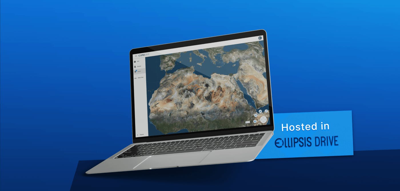
This is where Planet Observer found value in Ellipsis Drive’s unique spatial data management and sharing solution.
Working just like a drive (but for geospatial data instead of office documents), high resolution satellite imagery and maps can be hosted on our secure servers and easily be consumed and collaborated on by multiple users on a streaming basis.
Our solution allows for versioning and simultaneous access without the need to download heavy geospatial files for customers. It also renders geospatial data at lightning fast speed that further improves user experience.
What’s more, Ellipsis Drive is based on a subscription based pricing model that only charges you based on the amount of storage space you own. Ideal for scaling up or down without tampering your bottom line too much.
Conclusion
The combined efforts of Planet Observer and Ellipsis Drive are creating synergies that benefit the end users of visually impactful satellite datasets. Both organizations have a great appetite and passion towards Earth Observation data and the potentials that it can achieve.
Ellipsis Drive is happy to partner with such innovative entities and is looking forward to democratizing very high resolution satellite imagery for all!
Liked what you read?

Subscribe to our monthly newsletter to receive the latest blogs, news and updates.
Take the Ellipsis Drive tour
in less than 2 minutes'
- A step-by-step guide on how to activate your geospatial data
- Become familiar with our user-friendly interface & design
- View your data integration options

Related Articles

The Waterschapshuis: Drought Monitoring in The Netherlands
Despite the small size of the country, The Netherlands is the second largest exporter of agricultural products in the world. What’s their secret? What makes them tick? Well, it is a combination of ide
2 min read

Build Smart, Not Hard: How Element 84 Guides Clients with Spatial Data Infrastructure
For this episode of the Ellipsis Drive podcast, we sat down with Dan Pilone, CEO of Element 84, a geospatial engineering firm known for guiding organizations through some of their toughest technical
5 min read

EarthDefine: Protecting the Earth's Green Cover
Trees are the single most selfless beings on this planet. They have given so much to this world in so many ways. We literally owe them our lives by breathing in the precious oxygen that they produce.
3 min read