GIS
A sneak peek into the GIS Ecosystem
It's no secret that Earth is a beautiful planet. Conversely, it's also full of mysteries, which is why many experts try to uncover them as much as possible through extensive study and technological advancements.
One such technology that has pushed us in the right direction is that of Geographic Information System (GIS). With the help of GIS, it's now easier to collect, store, and then analyse vast amounts of geodata of the Earth.
The GIS ecosystem has also gone through an exponential growth story in recent years. More and more organizations are realizing the importance of GIS and the potential that it has to offer to bolster operations.
We decided to take this opportunity to give you a sneak peek into the world of GIS so that you can integrate it with your business operations if you see a good fit.
Contents
What are the components of GIS?
Let’s go back to the basics shall we, and answer the most fundamental question first. What is GIS? In simple terms, GIS is a software application that analyses geospatial data ( location data on the surface of the Earth) and creates useful insights and analysis that are used by stakeholders for making smarter decisions in their respective fields.
But why is GIS important? The short answer is that it helps you visualize your geodata, and well, an image says a thousand words. Knowledge is power. And GIS does just that, it converts raw data into knowledgeable insights and patterns.
There are several different moving parts and components that need to come together in order for this to happen.
Here are the the 5 main components of GIS:
- Hardware
- Software
- Data
- Stakeholders
- Applications
We will go through each of these components briefly and how they are interrelated to one another.
Hardwares
Being a computer based application, you naturally need a computer device and everything else that comes along with it to get started. You also need a solid cloud infrastructure to support the heavy computes and large amounts of geodata that go into GIS softwares and tools. This will allow for quick and painless collaboration between various stakeholders and ensures that your GIS experts don’t waste their time on data management related issues.
Softwares
Moving on to probably the most important aspect of all, you need a sleek GIS software. A GIS softwares allows you to edit, query and visualize your geospatial data. GIS experts use these softwares to monitor changes in landscape over a period of time, create trends and patterns by assessing historical data. A few GIS softwares that come to mind are QGIS, SAGA GIS, ArcGis, and ArcView 3.2.
An important consideration is to check the compatibility of your own softwares and infrastructure with these GIS softwares which is generally achieved via an API.
Geodata and its Data Types

Consider geodata to be the fuel that makes GIS tick. Without the raw geodata, there would be nothing to analyse and draw insights from. In recent years, great strides have been made in the geospatial data collection space with over 1500 satellites being launched in 2021 alone.
Also with the rise in popularity of other cheaper and small-scale data collecting options such as UAVs and drones, there is no shortage of quality location data available.
There are 2 distinct types of geospatial data sets that can be captured. They are raster data and vector data.
Raster data is essentially a pixel-based aerial photograph in which lines, polygons and other geometric figures are used to represent properties.
Whereas vector data is a graphical representation of the world created with digital shapes and can also be referred to as point data.
Both data sets are great to work with and you should one over the other depending upon the application and end goal in mind.
Stakeholders of GIS
With the growing importance of this technology, the demand for GIS professionals is increasing. Let’s place our focus on the different types of geospatial professionals out there and how they fit into the GIS ecosystem.
- Spatial data scientists - With the demand for data driven action increasing, the demand for analysts has followed a similar trend. Spatial data crunching and interpretation is what spatial data scientists do. Spatial data scientists identify trends and patterns in big data to provide actionable answers, usually using scripting languages like Python and analysis platforms such as Google Earth Engine. 👩🔬
- GIS Professionals - GIS professionals generally work with dedicated, pre-built GIS softwares (such as QGIS, ArcGIS or GeoServer-based systems) to visualize, manipulate and analyse geospatial data sets. Their outputs are usually custom maps and datasets that are fed into day-to-day operational processes in the organizations they work for. 💻
- Geospatial Developers - Geospatial developers build and maintain apps that leverage spatial data. Quite a challenging task, as building systems (backends and frontends) that operate with spatial data requires specific knowledge of this data type and the programming logic that comes with it. The GIS softwares that have been developed may be used by spatial data scientists or GIS professionals (as mentioned above), but can also have a more lay user base.
GIS professionals are at the forefront of GIS technology and are the true enablers of developments in the field of GIS.
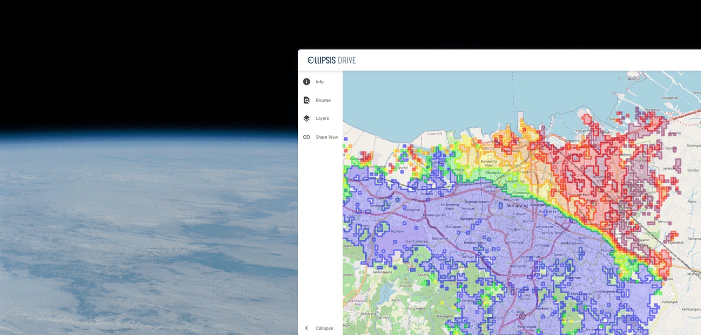
Check out our unique spatial drive solution if you are a GIS professional looking for a smarter way to work with geospatial data.
Applications of GIS
Where do we begin with this? The beauty of GIS is in its versatility and how it finds an application in practically every type of industry. Here’s a list of some of the key industries that come to our mind.
Environmental Conservation - GIS is being leveraged to control the adverse impacts that our actions can have on the environment. By closely analysing geodata pertaining to the environment and its inhabitants, responsible decisions can be taken.
Location Intelligence for Businesses - By answering the ‘where’ question, GIS tools has given birth to the concept of location intelligence which is being used by businesses to take smart marketing and strategic decisions while taking geodata into consideration.
Construction Management - Urban planning needs to be as sustainable as possible, reducing the environmental and economic impacts of constructing infrastructures. GIS helps generate development models for accurate monitoring, better decision-making and efficient usage of resources for construction sites
Disaster Management - GIS technology is heavily used in creating mitigation strategies, predicting natural disasters and timely dissemination of information when a disaster hits.
Agriculture - GIS helps provide farmers with an overall view of what;s going on in their farm. It has also given rise to the concept of precision agriculture which involves optimizing farming practices using methods such as crop monitoring and smart irrigation systems.
Water Management - Water managers across the world are using data science, spatial imagery and trend analysis for making better decisions to conserve and monitor water resources in their areas.
Trust us, the list can go on and on when it comes to GIS applications and use cases. You can check out our blogs section to read more about GIS applications and live business use cases that we are actively part of. Feel free to contact us if you see a good business partnership in the making! ;)
Conclusion
The GIS industry continues to grow and morph into a powerful entity with each passing, one that businesses just can’t afford to ignore.
With more organizations embracing GIS technology, it is moving from being a luxury to a necessity in day to day operations. A vital strategy piece to look into if you want to gain any sort of competitive advantage.
Afterall, location does matter.
Did you enjoy reading this article? Subscribe to our newsletter to get the latest updates, news and more about the GIS industry (and us!)
Liked what you read?

Subscribe to our monthly newsletter to receive the latest blogs, news and updates.
Take the Ellipsis Drive tour
in less than 2 minutes'
- A step-by-step guide on how to activate your geospatial data
- Become familiar with our user-friendly interface & design
- View your data integration options

Related Articles

Why AI is Reshaping Spatial Data Infrastructure
Artificial Intelligence is rapidly reshaping expectations around geospatial workflows. Organizations no longer want static outputs or slow analytics cycles. They want near real-time insights, scalabl
5 min read

Navigating the Cloud Spectrum: From Generalist to Specialized, and the Perfect Middle Ground
The modern cloud ecosystem spans a wide spectrum of offerings, from general-purpose infrastructure to highly specialized platforms built for domain-specific tasks. At one end, generalist clouds provi
5 min read

Unlocking the Potential of Data: Comparing Tabular and Non-Tabular Protocols
The world of data is a complex landscape and each year, the complexity of that landscape grows exponentially. A combination of new data capturing technology, data processing technology and demands fo
6 min read