Use Case
Wyvern: Hyperspectral Imagery combined with Deployable Optics Technology
Contents
Introduction
Spatial data grows in relevance and importance in our information age. The correlation is simple really: the more information you have, the more informed your decision making.
Have you heard of hyperspectral imaging? And the countless benefits it has compared to multispectral imaging?
In this article, we’d like to shift our focus to Wyvern, a company that is leveraging hyperspectral imagery to empower information-hungry industries with better data, and as a result, better operations.
Keep reading to find out all about their work and partnership with Ellipsis Drive.
Wyvern
Wyvern is a Canadian space data company that uses unique telescopes equipped with hyperspectral sensors to create detailed visual profiles of physical assets. These images can be used in various industries for monitoring and identifying minute changes.
But briefly, what is hyperspectral imaging? Hyperspectral imaging splits up an object’s electromagnetic spectrum into very fine imaging bands with tens to hundreds of imaging bands. What this essentially means is that it gives a much more detailed and accurate representation on the qualities and characteristics of any object under observation.
Hyperspectral imaging can be used to generate valuable insights. Minute changes and detailed monitoring can be deployed. There are countless use cases that have been developed as a result of this. Here are some of the most important ones.
Environment - Useful for monitoring large ecosystems from a central location. Often, it is extremely difficult to track disasters (natural and manmade) over environmental assets. Hyperspectral imaging can provide an in-depth view of ground realities. Environment preservation is and always will be the top priority
Agriculture - Identifying crop trends and sick crops so as to take corrective and timely action. Hyperspectral imaging will also help in implementing smart irrigation techniques. In short, hyperspectral imaging will boost the acceptance and execution of precision agriculture.
Energy & Infrastructure - Hyperspectral imagery can also be used for tracking the progress made on energy and infrastructure projects. From a centralized location, project managers can easily overlook properties and take necessary actions
Would you like to know more about hyperspectral imaging? We have written a separate article on it. Check it out here.
Hyperspectral Imagery combined with Deployable Optics Technology
Wyvern is creating state-of-the-art deployable optical telescopes that will be mounted onto their next generation small satellites to capture hyperspectral images from space. The device is folded compactly during launch and eventually gets unfolded up in space. Quite an important detail when taking space logistics into account.
Adding these deployable optical telescopes to small satellites increases the performance of the platform, resulting in data with a higher signal-to-noise ratio (SNR) and better spatial resolution as compared to a satellite of a similar size without this technology.
Data Proof of Concept
The development is on-going and while the deployable optical telescope is taking shape in the lab, Wyvern is using drones for some trailblazing trials and PoCs.. Wyvern has partnered with academic and governmental institutions to collect hyperspectral data over various sites, including research farms.
This way Wyvern can i.a. learn about how to process the captured hyperspectral images (a dry-run for the data pipeline that will deliver data from Wyvern’s first satellites heading to space in 2023), inspect how different land features appear and determine how to best service their data in line with their market’s consumption behaviors. That’s ‘the lean startup’ in action.
Role of Ellipsis Drive
Needless to say, Wyvern is doing some pretty incredible stuff with their hyperspectral imaging technology. But being ahead of the curve comes with its own set of challenges.
Being one of the first to introduce theory to practice is never easy, and educating the masses on new technological possibilities isn’t anything to sneeze at either.
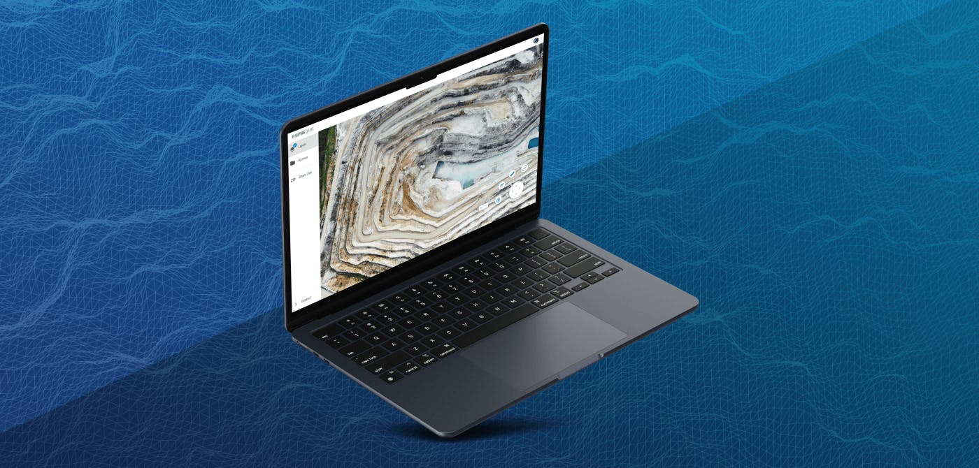
Using ED, Wyvern enables their team to conduct short testing cycles and gives their Go-To-Market (GTM) team the data visualization and sharing tools that they need to professionally showcase the results from their drone trials to prospects. This helps them to gather good feedback, better understand potential use cases, and adjust and optimize their data service to the market.
It also helps drive home an important point: Good data delivery and seamless integration should be part of any modern data service. The end user should never be asked to solve data management changes that vendors create in the wake of a sale. Customers need to be cherished and supported in being successful with the data products we sell them. That is what makes a good startups tick.
In using ED, Wyvern is able to build a close relationship with clients in which they can already show that they take their unique data management and consumption needs very seriously.
It’s not just passive data they are selling. It is data ready for action in industry specific workflows. Now that is true value.
Final Thoughts
Space data continues to be explored and tapped with incredible speed. Organizations such as Wyvern are constantly looking for ways to build on existing propositions.
Ellipsis Drive is glad to be partners with Wyvern and is fully committed to bringing their vision to fruition.
Would you like to know more about our spatial data management solution? Check out our solutions page. Or even better, book a free demo with our drive expert to see how we can add value to your business venture.
Until next time!
Liked what you read?

Subscribe to our monthly newsletter to receive the latest blogs, news and updates.
Take the Ellipsis Drive tour
in less than 2 minutes'
- A step-by-step guide on how to activate your geospatial data
- Become familiar with our user-friendly interface & design
- View your data integration options

Related Articles

The Waterschapshuis: Drought Monitoring in The Netherlands
Despite the small size of the country, The Netherlands is the second largest exporter of agricultural products in the world. What’s their secret? What makes them tick? Well, it is a combination of ide
2 min read

Build Smart, Not Hard: How Element 84 Guides Clients with Spatial Data Infrastructure
For this episode of the Ellipsis Drive podcast, we sat down with Dan Pilone, CEO of Element 84, a geospatial engineering firm known for guiding organizations through some of their toughest technical
5 min read

EarthDefine: Protecting the Earth's Green Cover
Trees are the single most selfless beings on this planet. They have given so much to this world in so many ways. We literally owe them our lives by breathing in the precious oxygen that they produce.
3 min read