Earth Observation
Synthetic Aperture Radar (SAR) Technology for High Resolution Mapping

Imagine combating forest fires, identifying earthquake risk zones, and mapping areas affected by human trafficking with spatial information. The popular understanding would be that light waves are the only way in which images can be achieved.
But there is another source of acquiring this kind of information that is growing in popularity and comes with its own set of benefits and applications.
In this article, we’re going to look at this alternate source of data acquisition - Synthetic Aperture Radar (SAR)
Does this technology interest you? We’re going to very briefly explain the technology and then jump into the actual applications and use cases.
Continue reading to learn more.
Contents
What Is Synthetic Aperture Radar?

Radar stands for Radio Detection and Ranging. This is the essence of Synthetic Aperture Radar (SAR) technology, it relies on radio waves as opposed to light waves.
It is a type of radar that, in effect, paints a picture of the surface of the Earth by sending radio waves to the area in question.
SAR technology is a form of active sensor technology unlike other satellite imagery forms that are passive. This means that SAR technology creates the sensory signal itself in the form of radio waves which bounce off the surface and that helps create the information.
Other traditional forms of imagery use the sun’s reflection as the form of energy, hence passive.
The wavelengths are much longer than normal light (ranging from 3 cm up to a few meters). Longer wavelength means information is carried over a longer distance.
SAR data is said to be some of the most accurate forms of data available.
How Does Synthetic Aperture Radar Work?
As indicated above, the technology uses radio waves to obtain spatial data. It sends a pulse of radiation that bounces off of objects located in the targeted area. The data is relayed back to a device which creates an image that can be read by humans.
The time taken for the signal to bounce back is used to create the high resolution spatial imagery.
SAR devices can be anywhere from a few meters to a few kilometers in size. The device sends out a signal that bounces off whatever it hits on one side, such as the Earth's surface.
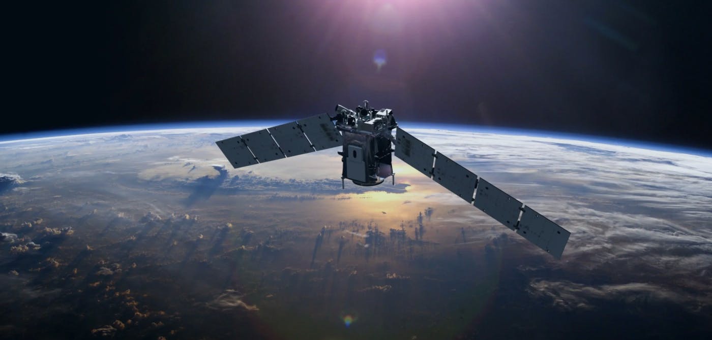
In recent times, SAR detection devices are fitted onto small satellites. These small satellites orbit our Earth and are able to send back SAR data to the ground stations for processing and decoding.
There are multiple parts that make SAR unique. One of these is the antenna that the device transmits its signal from, which is unlike a standard radar. Its design allows for a much more powerful signal, procuring higher resolution imagery.
What are the applications and benefits of Synthetic Aperture Radar technology?
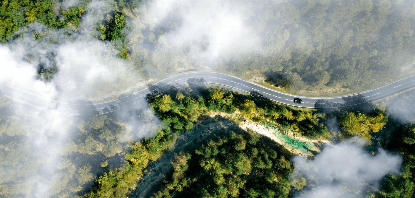
The main benefit of SAR technology is that it is not reliant on light waves. As a result of this, it can be used effortlessly even during night time, or in the presence of disturbances such as cloud cover, smoke, fog etc.
These are the disadvantages of normal satellite imagery that SAR capitalizes on.
SAR tech is popularly used by militaries and other domain experts, particularly to capture data on the Earth's surface in difficult circumstances. The accuracy of data that is gathered is impeccable because of the thousands of data points that are obtained through radio waves.
Other applications include medical, geological, agricultural, and even maritime studies. SAR is also used to obtain imagery and data for business intelligence assessments and applications, such as inventory management and asset management.
Below are some of the popular applications in some detail -
Environment Management - SAR data can acquire highly accurate imagery irrespective of the environmental conditions, thick vegetation, snow, desert etc. It can also be useful in identifying early signs of deforestation. All in all, it can be a great ally in the fight against climate change.
Military and Defense - SAR technology can be used for getting high level intelligence to military and defense units. Given the higher accuracy and the manner of data acquisition of SAR, it has become the go-to data source
Flood Management - SAR technology can help identify and classify areas based on their proneness to flooding using surface reflections. This can help create a flood map that can be used to create flood management protocols and plans.
Agriculture - Agricultural lands can be analyzed based on the roughness of the area and based on reflection of crops to make smart farming decisions.
Land Subsidence - SAR technology can also be used to create change detection dashboards. By analyzing land over a period of time subtle displacements that would otherwise go under the radar can be spotted easily.
Wildfire - The benefit of using SAR technology is that it can penetrate inhibitors such as cloud cover, smoke, vegetation. In the time of crisis, such as a forest fire, these factors can be the difference between life and death. SAR is extremely useful for providing accurate and timely information to emergency response teams for optimizing rescue efforts.
Remember that the technology works best when it comes to large areas that are difficult to observe. The SAR pulses can travel over long and large-scale distances. SAR can also be utilized to monitor movements that are in motion, such as traffic, wildlife and people.
Final Thoughts
In today’s day and age, bringing this high quality data from space to Earth has been mastered. It is the last mile of the data chain that needs rethinking and attention - integrating this data with end user systems so that they can be applied in real world scenarios (as mentioned above) in the most seamless way possible.
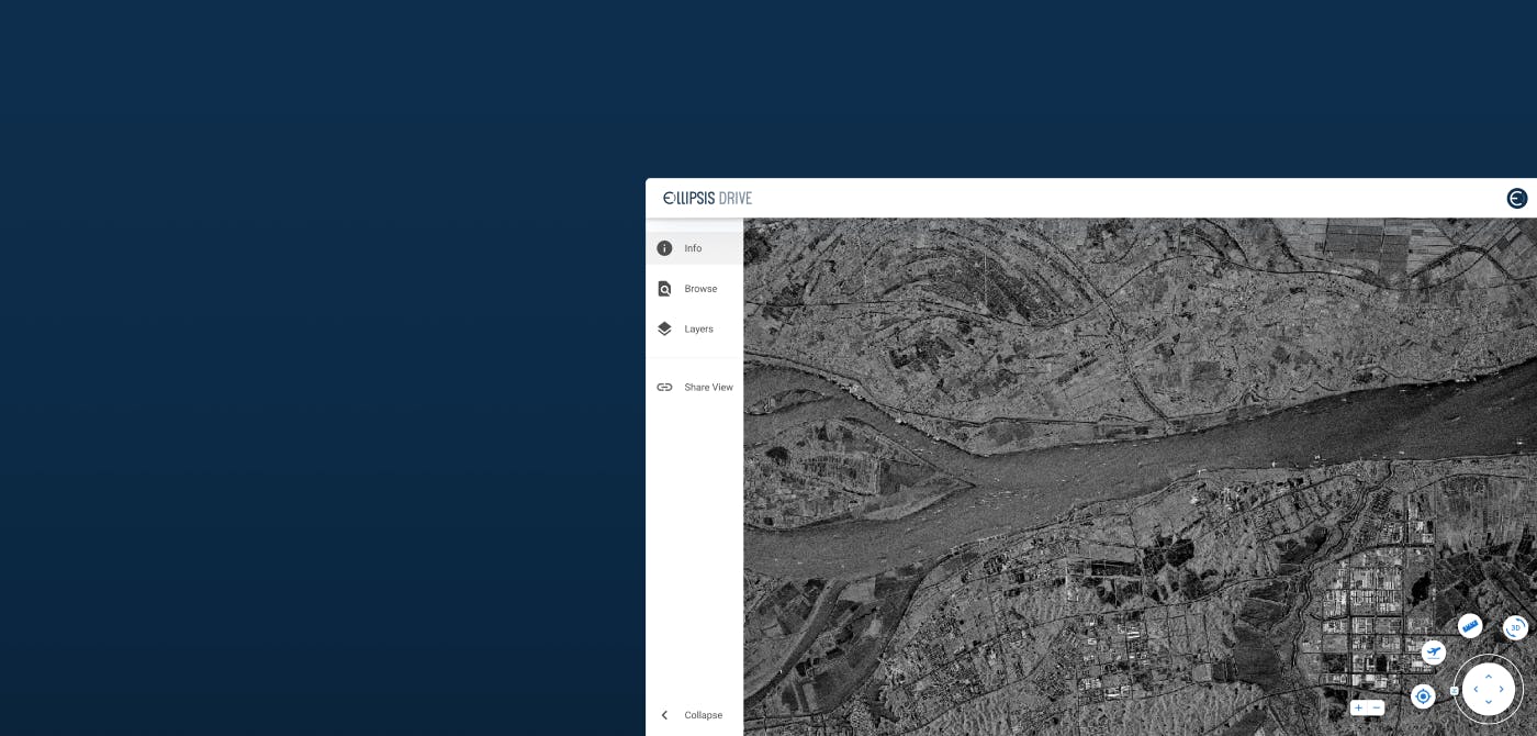
This is where Ellipsis Drive’s first of its kind spatial data drive comes into the picture. A drive designed to convert this valuable information into beautiful live maps that can be collaborated on simultaneously.
Trying to find a collaborative mapping solution? Ellipsis Drive is optimized for sharing, collaborating on, and selling geospatial content while empowering professionals to safely activate, manage, and share their data. Contact us today!
Liked what you read?

Subscribe to our monthly newsletter to receive the latest blogs, news and updates.
Take the Ellipsis Drive tour
in less than 2 minutes'
- A step-by-step guide on how to activate your geospatial data
- Become familiar with our user-friendly interface & design
- View your data integration options

Related Articles

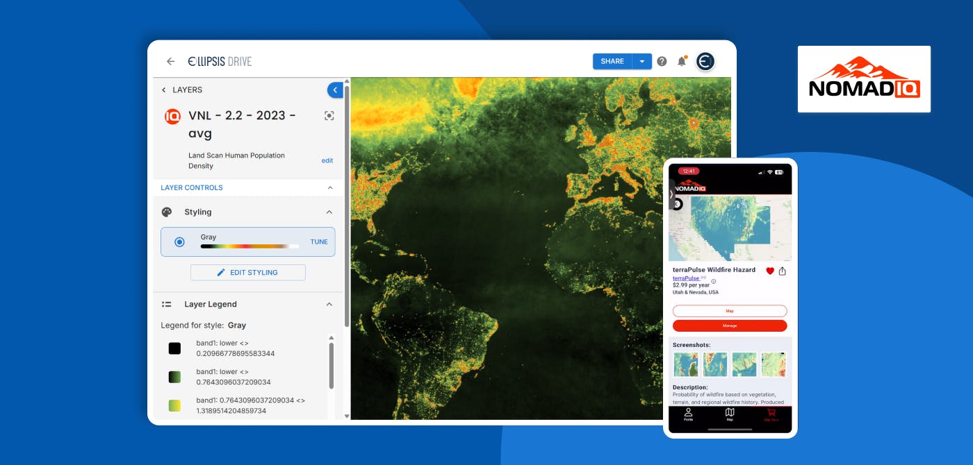
Connecting Earth Observation Datasets to End Users Ft. NomadIQ
“From established basic research and government land management to growing demand in carbon markets, hazard insurance, and even recreational apps, there's a rapidly developing market for satellite-ba
5 min read

A Stable Infrastructure for Radar derived 3D Data Visualization
In the latest episode of The Ellipsis Drive Podcast, our CEO Rosalie van der Maas hosted jC Clark, a professional with over 20 years of experience in Insurance and Earth Observation (EO) entrepreneur
7 min read

Satellite-as-a-Service (Part 2): The New 'SaaS' in town
So… where were we? Ohh right, somewhere in space! Jokes aside, in the previous installment of this article series, we discussed the evolution of the SmallSatellite industry. We have established the sh
4 min read